 Block
Rome, Illinois
20 topographic sheets cover this place, the earliest surveyed in 1893 and the latest in 1990. It stands in Chillicothe Township. It lies in ZIP code area 61523. The Survey maps it on the Rome quadrangle. 1,604 people lived here at the 2020 count. It stands 479 feet above sea level.
Population over time
2 figuresRome fell from 1,738 to 1,604 between 2010 and 2020. These are the recorded population figures Wikidata holds for this place, reached through the Geographic Names Information System number this page is keyed on rather than by name, so they belong to this place and not to another of the same name. Most are census counts, but not all are: an early figure may be a founding or settlement estimate, and an estimate published within five years of a census is left out. The change column is computed, and is left blank where more than 20 years separate a figure from the one before it, because a gap that long is not a change between two counts.
| Year | People | Change |
|---|---|---|
| 2010 | 1,738 | |
| 2020 | 1,604 | -134 (-8%) |
Topographic sheets covering this place
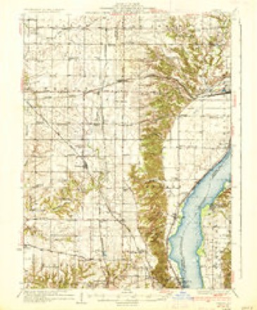
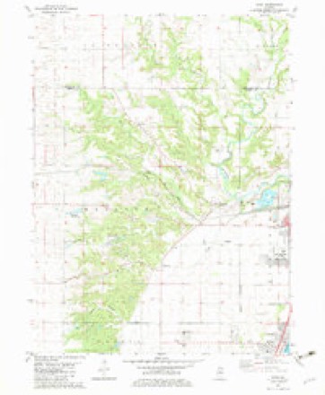
12 surveys from 20 printed sheetsMatched by testing this settlement's coordinate against the published boundary of every sheet in the United States Geological Survey's historical collection. Each opens the scanned sheet at the Survey.
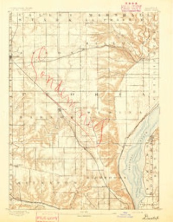
- 1893 USGS Dunlap quadrangle1:62500
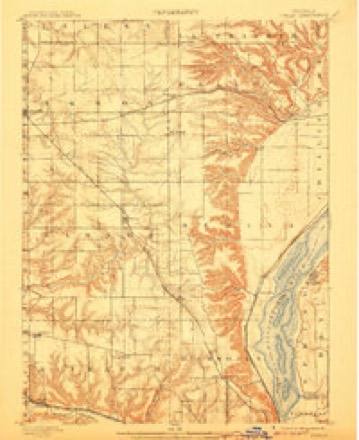
- 1898 USGS Dunlap quadrangle1:62500, 4 printings
- 1932 USGS Dunlap quadrangle1:62500
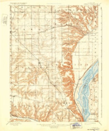
- 1933 USGS Dunlap quadrangle1:62500
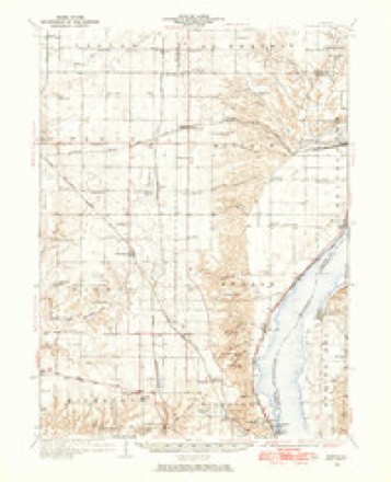
- 1937 USGS Dunlap quadrangle1:62500, 3 printings
- 1958 USGS Peoria quadrangle1:250000, 4 printings
- 1961 USGS Peoria quadrangle1:250000
- 1963 USGS Peoria quadrangle1:250000
- 1982 USGS Rome quadrangle1:24000
- 1985 USGS Peoria quadrangle1:100000
- 1989 USGS Peoria quadrangle1:100000
- 1990 USGS Peoria quadrangle1:250000






In the county-history sources
3,549 words on this townshipThe History of Peoria County, Illinois. Containing a History of the Northwest--history of Illinois--history of the County, Its Early Settlement, Growth, Development, Resources, Etc., Etc. .., published 1880 names this settlement in its chapter on Chillicothe Township. These are the passages that mention it, exactly as the scans read.
The village of Rome was laid out by Jefferson Taliaferro, and the plat filed for record December 24, 1832. The.origiiial plat contained twenty-four blocks, of eight lots, 5x8 perches in size, situated on section 5, town 10 north. 9 east. The town site is a beautiful one, on the right bank of the Illinois river, fifteen miles aljove Peoria, and for several years it had quite a rapid growth. In 1835 it contained a tavern of eight or ten rooms, liept b}' N. Sirlott, and several stores and groceries, some of them carrying large stocks of goods. Wm. A. Ogle, Hiram Cleveland, Mr. Bingham, J. B. Adams and Joseph Blish were among the first merchants. Hczekiah Rose was an early settler in the place. In 183") steamboats landed regularly, the town contained about 300 inhabitants, aiul was the most important point on the river for many miles. The first school was taught by a one-armed soldier, named James Pierce, who died some years ago in this county. The upper story of a store was used for school purposes until the present neat frame structure was erected in 1858, at a cost of $1,000. The district, which is an independent one, maintains school nine months in the year, with about fifty scholars in attendance.
Passage source: The History of Peoria County, Illinois. Containing a History of the Northwest--history of Illinois--history of the County, Its Early Settlement, Growth, Development, Resources, Etc., Etc. .., published 1880.
In 1837, Isaac Underhill, of Peoria, purchased 2.200 acres of land, including the town site, and planted 500 acres to orchard in the immediate vicinity, some of which trees still stand. The financial crash of 1837 proved a fatal blow to Rome, from which time it steadily declined. It is a way station on the Bureau branch of the C, R. I. & P. railroad, and ships considerable fruit and jiroduce. Mr. H. S. Rose, who carries on lilacksmitliing, is the oldest resident living in the village, and has resided there over forty-four years.
Passage source: The History of Peoria County, Illinois. Containing a History of the Northwest--history of Illinois--history of the County, Its Early Settlement, Growth, Development, Resources, Etc., Etc. .., published 1880.
Machine-read from a century-old scan, so expect the errors a machine makes: misspelled names, dropped words, stray characters.
Read the whole chapter on Chillicothe Township - it names this place 2 more 2 times.
Mines and quarries near this place
5 within 5 milesRegional context, not property-specific evidence. The federal mineral resources record lists 5 workings within 5 miles of Rome: 3 producers, 2 past producers. 3 still produce. What was taken out: Sand and Gravel, Construction. Distance is straight-line from the map coordinates, so a quarry counted here may appear on a neighbouring settlement's page as well.
| Where | Site | Commodity | Status | Recorded |
|---|---|---|---|---|
| Caul Pit | Sand and Gravel, Construction | Past Producer | ||
| Chillicothe Sand & Gravel Pit | Sand and Gravel, Construction | Producer | ||
| Chillicothe Sand Pit | Sand and Gravel, Construction | Producer | ||
| Mitzelfelt Pit | Sand and Gravel, Construction | Past Producer | ||
| Riverside Materials Pit | Sand and Gravel, Construction | Producer |
Storms near this place
8 since 2001Regional context, not property-specific evidence. The National Weather Service names Rome in 8 storm reports between 2001 and 2020: 5 thunderstorm wind, 2 flash flood, 1 hail. No death or injury is recorded in these reports. Each account below is quoted exactly as the forecast office filed it, from the NOAA Storm Events Database, and each date opens the federal record of that event.
| When | Event | Place named | Harm | What the report says |
|---|---|---|---|---|
| August 2020 | Thunderstorm Wind | Rome | $40,000 | Several trees were blown into power lines in Rome. |
| June 2015 | Flash Flood | Rome | - | Thunderstorms produced 2.50 to 5.00 of rainfall in a large part of Peoria County, including the city of Peoria, between 1800 and 2000 local standard time. Flash flooding rapidly developed, which made many streets impassable on the south side of Peoria. U.S. Highway 24 near the Fulton/Peoria County line to Bartonville was also impassable. Most secondary roads in rural areas were also inundated from Bartonville to Smithville and Kickapoo to Mossville. |
| May 2006 | Thunderstorm Wind | Rome | - | Numerous tree limbs and power lines were blown down. A fence was blown down at a baseball diamond and a few structures at the field were damaged. |
| April 2005 | Thunderstorm Wind | Rome | - | A few trees and tree limbs down. |
| April 2005 | Thunderstorm Wind | Rome | - | Large tree down on Wayne Road. |
| July 2003 | Flash Flood | Rome | - | Very heavy rains fell for several hours over northern portions of Peoria County near Rome. Several streets were flooded in Rome. No injuries were reported. |
| May 2001 | Thunderstorm Wind | Rome | - | Numerous large tree limbs were blown down as well as a large tree. No structural damage was reported. |
| June 2005 | Hail | Rome | - | no account filed |
Nearest settlements
The eight closest, with where each one stands in the county. Distances are straight-line, computed from the Geographic Names Information System coordinates.
| Map | Place | Distance | Sheets |
|---|---|---|---|
| Coughlin | 0.9 miles | 19 | |
| Chillicothe | 2.8 miles | 19 | |
| South Rome | 3.0 miles | 23 | |
| North Chillicothe | 3.3 miles | 20 | |
| North Hampton | 3.8 miles | 20 | |
| Mossville | 5.8 miles | 23 | |
| Cedar Bluff Estates | 6.7 miles | 23 | |
| West Hallock | 7.7 miles | 21 |
Elsewhere
Matched on this settlement's Geographic Names Information System number rather than its name, so it cannot be a different place of the same name in another state.
| Wikipedia article on Rome | An encyclopaedic summary. Its text is share-alike, so it is linked here rather than copied. |
| Wikidata item Q575847 | The structured record the population and elevation above come from. Public domain (CC0). |
Provenance
This settlement is recorded in the Geographic Names Information System as feature 416896. The sheet list is computed by point-in-boundary test against the United States Geological Survey's historical topographic inventory. Both are works of the United States government and carry no copyright under 17 U.S.C. 105.
Mines and quarries. USGS Mineral Resources Data System (MRDS) https://mrdata.usgs.gov/mrds/ A work of the United States government, no copyright under 17 U.S.C. 105.
Storms. NOAA National Centers for Environmental Information, Storm Events Database https://www.ncei.noaa.gov/stormevents/ A work of the United States government, no copyright under 17 U.S.C. 105. Narratives are quoted verbatim from the National Weather Service report and are not edited or summarised.