 Block
Roodhouse, Illinois
12 topographic sheets cover this place, the earliest surveyed in 1924 and the latest in 1985. It stands in Roodhouse Township. It lies in ZIP code area 62082. The Survey maps it on the Roodhouse East quadrangle. 1,578 people lived here at the 2020 count. It stands 653 feet above sea level.
On record in Roodhouse
Buildings and businesses the archive holds for this place. Each opens its own page, with the source record it came from.
On the National Register 1 record
- Hotel Roodhouselisted 1995
Population over time
2 figuresRoodhouse fell from 1,814 to 1,578 between 2010 and 2020. These are the recorded population figures Wikidata holds for this place, reached through the Geographic Names Information System number this page is keyed on rather than by name, so they belong to this place and not to another of the same name. Most are census counts, but not all are: an early figure may be a founding or settlement estimate, and an estimate published within five years of a census is left out. The change column is computed, and is left blank where more than 20 years separate a figure from the one before it, because a gap that long is not a change between two counts.
| Year | People | Change |
|---|---|---|
| 2010 | 1,814 | |
| 2020 | 1,578 | -236 (-13%) |
Topographic sheets covering this place
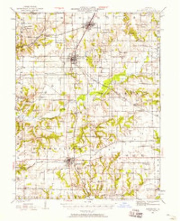
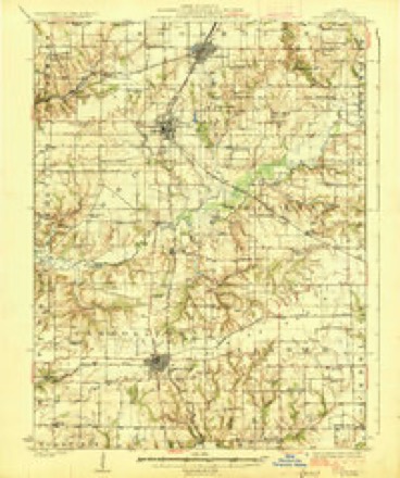
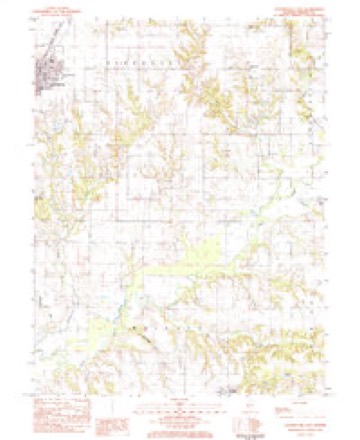
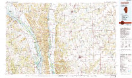
6 surveys from 12 printed sheetsMatched by testing this settlement's coordinate against the published boundary of every sheet in the United States Geological Survey's historical collection. Each opens the scanned sheet at the Survey.
- 1924 USGS Roodhouse quadrangle1:62500, 2 printings
- 1926 USGS Roodhouse quadrangle1:62500, 2 printings
- 1948 USGS Quincy quadrangle1:250000, 2 printings
- 1956 USGS Quincy quadrangle1:250000, 3 printings
- 1983 USGS Roodhouse East quadrangle1:24000
- 1985 USGS Jerseyville quadrangle1:100000, 2 printings


What happened here
An account from the chapter on Roodhouse township. The inset identifies its exact source book and publication year.
Wolf Scalps
Any person claiming a bounty shall produce the scalp or scalps with the ears thereon, within sixty days after the wolf or wolves shall have been caught, to the Clerk of the County Board, who shall administer to said person the following oath or aflBrmation, to-wit: "You do solemnly swear (or affirm, as the case may be), that the scalp or scalps here produced by you was taken from a wolf or wolves killed and first captured by yourself within the limits of this county, and within the sixty dayslast past."
In the county-history sources
85,575 words on this townshipHistory of Greene County, Illinois : Its Past and Present, Containing a History of the County ; Its Cities, Towns, Etc. ; a Biographical Directory of Its Citizens ; War Record.., published 1879 names this settlement in its chapter on Roodhouse Township. These are the passages that mention it, exactly as the scans read.
Shabbona had a reservation of two sections of land at his Grove, but by leaving it and going west for a short time, the Government declared the reservation forfeited, and sold it the same as other vacant land. On Shabbona's return, and finding his possessions gone, he was very sad and broken down in spirit, and left the Grove for ever. The citizens of Ottawa raised money and bought him a tract of land on the Illinois River, above Seneca, in Grundy County, on which they built a house, and supplied him with means to live on. He lived here until his death, which occurred on the 17th of July, 1859, in tlie eighty-fourth year of his age, and was buried with great pomp in the cemetery at Morris. His squaw, Pokanoka, was drowned in Mazen Creek, Grundy County, on the 30th of November, 1864, and was buried by his side.
Passage source: History of Greene County, Illinois : Its Past and Present, Containing a History of the County ; Its Cities, Towns, Etc. ; a Biographical Directory of Its Citizens ; War Record.., published 1879.
The legal rate of interest is six per cent. Parties may agree in ivriting on a rate not exceeding ten per cent. If a rate of interest greater than ten per cent, is contracted for, it works a forfeiture of the whole of said interest, and only the principal can be recovered.
Passage source: History of Greene County, Illinois : Its Past and Present, Containing a History of the County ; Its Cities, Towns, Etc. ; a Biographical Directory of Its Citizens ; War Record.., published 1879.
Second. Where there is no child, nor descendant of such child, and no widow or surviving husband, then to the parents, brothers and sisters of the deceased, and their descendants, in equal parts, the surviving parent, if either be dead, taking a double portion ; and if there is no parent living, then to the brothers and sisters of the intestate and their descendants.
Passage source: History of Greene County, Illinois : Its Past and Present, Containing a History of the County ; Its Cities, Towns, Etc. ; a Biographical Directory of Its Citizens ; War Record.., published 1879.
Machine-read from a century-old scan, so expect the errors a machine makes: misspelled names, dropped words, stray characters.
Read the whole chapter on Roodhouse Township - it names this place 86 more 86 times.
Mines and quarries near this place
1 within 5 milesRegional context, not property-specific evidence. The federal mineral resources record lists 1 working within 5 miles of Roodhouse: 1 past producer. None of them still produces. What was taken out: Clay. Distance is straight-line from the map coordinates, so a quarry counted here may appear on a neighbouring settlement's page as well.
| Where | Site | Commodity | Status | Recorded |
|---|---|---|---|---|
| Purington Clay Shale Pit | Clay | Past Producer |
Storms near this place
21 since 1994Regional context, not property-specific evidence. The National Weather Service names Roodhouse in 21 storm reports between 1994 and 2024: 13 thunderstorm wind, 7 hail, 1 tornado. No death or injury is recorded in these reports. Each account below is quoted exactly as the forecast office filed it, from the NOAA Storm Events Database, and each date opens the federal record of that event.
| When | Event | Place named | Harm | What the report says |
|---|---|---|---|---|
| June 1994 | Thunderstorm Wind | Roodhouse | $500 | A second thunderstorm knocked power lines and poles down and produced pea-size hail. Reported by a local newspaper. |
| July 1995 | Tornado | Roodhouse | $200 | A slow moving tornado touched down between Roodhouse and White Hall. It remained on the ground for about 10 minutes and damaged crops in fields along Highway 267. |
| May 2024 | Hail | Roodhouse | - | A photo on Twitter showed a measured golf ball sized hailstone. |
| May 2020 | Thunderstorm Wind | Roodhouse | - | Thunderstorm winds caused minor roof damage to a residence about 2 miles northeast of Roodhouse. |
| July 2008 | Thunderstorm Wind | Roodhouse | - | Numerous tree limbs and a couple of power lines were blown down in Roodhouse and areas just to the east of Roodhouse. |
| August 2007 | Thunderstorm Wind | Roodhouse | - | Numerous tree limbs were blown down and some corn was flattened in several fields. One house east of Roodhouse had a few shingles blown off its roof. |
| July 2006 | Thunderstorm Wind | Roodhouse | - | Thunderstorm winds blew a fire truck of the road 2 miles east of Roodhouse. No injuries were reported. |
| May 2004 | Thunderstorm Wind | Roodhouse | - | Local law enforcement reported power lines down in Roodhouse. |
| April 2003 | Hail | Roodhouse | - | The County Sheriff reported 3/4 inch hail. |
| September 2000 | Thunderstorm Wind | Roodhouse | - | Roodhouse Police reported trees and power lines down. |
| June 1994 | Hail | Roodhouse | - | The Roodhouse Police Department reported hail the size of half dollars. |
| March 2017 | Thunderstorm Wind | Roodhouse | - | no account filed |
| April 2011 | Thunderstorm Wind | Roodhouse | - | no account filed |
| April 2011 | Hail | Roodhouse | - | no account filed |
| January 2008 | Hail | Roodhouse | - | no account filed |
| January 2008 | Thunderstorm Wind | Roodhouse | - | no account filed |
| April 2006 | Hail | Roodhouse | - | no account filed |
| May 2003 | Thunderstorm Wind | Roodhouse | - | no account filed |
| April 2002 | Hail | Roodhouse | - | no account filed |
| August 1999 | Thunderstorm Wind | Roodhouse | - | no account filed |
| June 1999 | Thunderstorm Wind | Roodhouse | - | no account filed |
Nearest settlements
The eight closest, with where each one stands in the county. Distances are straight-line, computed from the Geographic Names Information System coordinates.
| Map | Place | Distance | Sheets |
|---|---|---|---|
| Barrow | 2.2 miles | 12 | |
| White Hall | 3.6 miles | 12 | |
| Hanks Station | 5.5 miles | 12 | |
| Patterson | 5.9 miles | 12 | |
| Belltown | 7.3 miles | 12 | |
| McClay Orchard | 8.2 miles | 12 | |
| Berdan | 8.3 miles | 12 | |
| Wrights | 8.5 miles | 12 |
Elsewhere
Matched on this settlement's Geographic Names Information System number rather than its name, so it cannot be a different place of the same name in another state.
| Wikipedia article on Roodhouse | An encyclopaedic summary. Its text is share-alike, so it is linked here rather than copied. |
| Wikidata item Q577382 | The structured record the population and elevation above come from. Public domain (CC0). |
Provenance
This settlement is recorded in the Geographic Names Information System as feature 416907. The sheet list is computed by point-in-boundary test against the United States Geological Survey's historical topographic inventory. Both are works of the United States government and carry no copyright under 17 U.S.C. 105.
Mines and quarries. USGS Mineral Resources Data System (MRDS) https://mrdata.usgs.gov/mrds/ A work of the United States government, no copyright under 17 U.S.C. 105.
Storms. NOAA National Centers for Environmental Information, Storm Events Database https://www.ncei.noaa.gov/stormevents/ A work of the United States government, no copyright under 17 U.S.C. 105. Narratives are quoted verbatim from the National Weather Service report and are not edited or summarised.