 Block
Shady Beach, Illinois
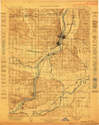
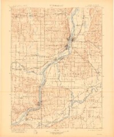
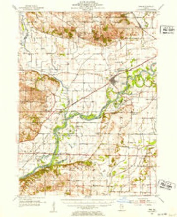
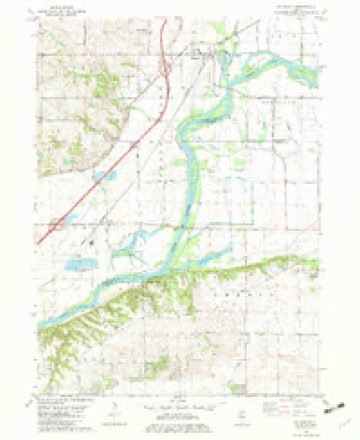
14 topographic sheets cover this place, the earliest surveyed in 1899 and the latest in 1984. It stands in Phenix Township. It lies in ZIP code area 61254. The Survey maps it on the Hillsdale quadrangle.
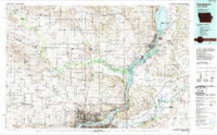
Topographic sheets covering this place
8 surveys from 14 printed sheetsMatched by testing this settlement's coordinate against the published boundary of every sheet in the United States Geological Survey's historical collection. Each opens the scanned sheet at the Survey.
- 1899 USGS Clinton quadrangle1:125000
- 1899 USGS Cordova quadrangle1:125000, 4 printings
- 1952 USGS Erie quadrangle1:62500, 2 printings
- 1958 USGS Davenport quadrangle1:250000, 2 printings
- 1961 USGS Davenport quadrangle1:250000
- 1962 USGS Davenport quadrangle1:250000
- 1982 USGS Hillsdale quadrangle1:24000
- 1984 USGS Davenport quadrangle1:100000, 2 printings



What happened here
An account from the chapter on Phenix township. The inset identifies its exact source book and publication year.
Geo. C. Smithe
LIEBERKNECHT ADAM Jr. Farmer and Teacher, Sec. 27; P.O. Geneseo; born in Pittsburgh, Pa., July 2, 1838; came to this county in 1865; Rep; U. Breth; is Township Clerk; enlisted Aug. 22, 1862, in the 22d Iowa V. L; was in service three years; was in the battles of Pleasant Hill and Black River, and was wounded at the siege of Vicksburg; wife was Eliza E.
In the county-history sources
1,331 words on this townshipHistory of Henry County, Illinois : It's Taxpayers and Voters; Containing Also, a Biographical Directory, a Condensed History of the State; Map of the County; a Business Directory...etc, published 1877; Portrait and Biographical Album of Henry County, Illinois : Containing Full-page Portraits and Biographical Sketches of Prominent and Representative Citizens of the County, Together with Portraits and Biographies of All the Governors of Illinois, and of the Presidents of the United States; Also Containing a History of the County, from Its Earliest Settlement to the Present Time, published 1885 has no passage naming this settlement, which was common for smaller places. Its township is covered in full.
The chapter on Phenix Township covers the township.
Read the chapter on Phenix Township - 1,331 words.
Fires near this place
12 since 2015Regional context, not property-specific evidence. The federal wildfire occurrence database lists 12 fires within 5 miles of Shady Beach between 2015 and 2020, burning about 234 acres in total. None started naturally. None was recorded as arson. Distance is straight-line from the map coordinates, so a fire counted here may appear on a neighbouring settlement's page as well.
| Reported cause | Fires |
|---|---|
| Debris and open burning | 6 |
| Missing data/not specified/undetermined | 4 |
| Power generation/transmission/distribution | 1 |
| Equipment and vehicle use | 1 |
The most recent of them, most recent first, with the day each was reported and the service that recorded it.
| Date | Cause | Size | Reported by | Name on the report |
|---|---|---|---|---|
| 6 July 2018 | Missing data/not specified/undetermined | 1.5 acres | Illinois Division of Forestry Resources | 18-099 DITCH FIRE |
| 11 June 2017 | Missing data/not specified/undetermined | under an acre | Illinois Division of Forestry Resources | 17-094 |
| 27 April 2018 | Debris and open burning | 10 acres | Illinois Division of Forestry Resources | 18-063 |
| 2 April 2018 | Missing data/not specified/undetermined | under an acre | Illinois Division of Forestry Resources | 18-051 |
| 12 April 2018 | Debris and open burning | 2.0 acres | Illinois Division of Forestry Resources | 18-057 |
| 1 April 2015 | Debris and open burning | 195 acres | Neal Smith National Wildlife Refuge | GAMEFARM FIRE |
| 25 March 2017 | Missing data/not specified/undetermined | under an acre | Illinois Division of Forestry Resources | 17-047 |
| 12 March 2018 | Debris and open burning | under an acre | Illinois Division of Forestry Resources | 18-043 |
Settlements close enough to share some of these fires:
Mines and quarries near this place
2 within 5 milesRegional context, not property-specific evidence. The federal mineral resources record lists 2 workings within 5 miles of Shady Beach: 2 producers. All of them still produce. What was taken out: Stone, Crushed/Broken. Distance is straight-line from the map coordinates, so a quarry counted here may appear on a neighbouring settlement's page as well.
| Where | Site | Commodity | Status | Recorded |
|---|---|---|---|---|
| Hillside Plt & Quay Midway Stone | Stone, Crushed/Broken | Producer | ||
| Rock River Stone Quarry | Stone, Crushed/Broken | Producer |
Storms near this place
13 since 2008Regional context, not property-specific evidence. The National Weather Service names Shady Beach in 13 storm reports between 2008 and 2025: 6 thunderstorm wind, 3 flood, 3 hail, 1 tornado. No death or injury is recorded in these reports. Each account below is quoted exactly as the forecast office filed it, from the NOAA Storm Events Database, and each date opens the federal record of that event.
| When | Event | Place named | Harm | What the report says |
|---|---|---|---|---|
| June 2025 | Thunderstorm Wind | Shady Beach | - | Large trees damaged. |
| June 2025 | Thunderstorm Wind | Shady Beach | - | Numerous trees damaged in Ponderosa Hills subdivision, including several uprooted. Time estimated using radar. |
| June 2023 | Thunderstorm Wind | Shady Beach | - | A tree was reported blown down. |
| March 2019 | Flood | Shady Beach | - | The combination of melting snow and heavy rain across the region caused the Rock River near Joslin to rise above major flood stage on March 14th. The river fell below major flood stage on March 24th. The river crested at 18.51 feet on March 16th. |
| June 2019 | Flood | Shady Beach | - | The Rock River at Joslin, began the month of June above major flood stage of 16.5 feet. It crested during the late morning on the 1st, at 17.3 feet. It feel below major flood stage in the late afternoon hours June 2nd. |
| June 2019 | Thunderstorm Wind | Shady Beach | - | A public report received via social media of three poles snapped off near the intersection of 2550 AVE and Highway B2. Time of the event was estimated using radar. |
| May 2017 | Thunderstorm Wind | Shady Beach | - | A NWS storm survey team reported several large trees were blown down along Highway 92 north of of Geneseo. |
| November 2015 | Tornado (EF1) | Shady Beach | - | A NWS storm survey team reported an EF-1 tornado with a path length of 4.23 miles and a maximum path width of 50 yards. The estimated maximum peak winds are 110 mph. Several damaged trees along the path. One large machine shed destroyed and a house partially un-roofed when it porch was torn off. |
| April 2011 | Hail | Shady Beach | - | Quarter sized hail fell 3 miles east southeast of Osborn, IL from about 903 pm to 910 pm CDT April 3. |
| June 2008 | Thunderstorm Wind | Shady Beach | - | Wind gusts estimated to be 60 mph blew down some branches in the Geneseo Hills Subdivision along Wolf Road about 4 miles west northwest of Geneseo, IL around 4:30 am June 6. |
| August 2023 | Hail | Shady Beach | - | no account filed |
| April 2019 | Hail | Shady Beach | - | no account filed |
| June 2008 | Flood | Shady Beach | - | no account filed |
Nearest settlements
The eight closest, with where each one stands in the county. Distances are straight-line, computed from the Geographic Names Information System coordinates.
| Map | Place | Distance | Sheets |
|---|---|---|---|
| Hickory Hills | 4.5 miles | 12 | |
| Woodcrest | 4.6 miles | 12 | |
| Cleveland | 6.7 miles | 23 | |
| Geneseo | 6.7 miles | 11 | |
| Dayton | 7.4 miles | 12 | |
| Green River | 7.8 miles | 12 | |
| Level Acres | 8.2 miles | 12 | |
| Colona | 9.1 miles | 12 |
Provenance
This settlement is recorded in the Geographic Names Information System as feature 418255. The sheet list is computed by point-in-boundary test against the United States Geological Survey's historical topographic inventory. Both are works of the United States government and carry no copyright under 17 U.S.C. 105.
Wildfire. Short, Karen C. 2022. Spatial wildfire occurrence data for the United States, 1992-2020 [FPA_FOD_20221014]. 6th Edition. Fort Collins, CO: Forest Service Research Data Archive. https://doi.org/10.2737/RDS-2013-0009.6 Collected with United States Government funding and usable without additional permissions or fees.
Mines and quarries. USGS Mineral Resources Data System (MRDS) https://mrdata.usgs.gov/mrds/ A work of the United States government, no copyright under 17 U.S.C. 105.
Storms. NOAA National Centers for Environmental Information, Storm Events Database https://www.ncei.noaa.gov/stormevents/ A work of the United States government, no copyright under 17 U.S.C. 105. Narratives are quoted verbatim from the National Weather Service report and are not edited or summarised.