 Block
Sidell, Illinois
14 topographic sheets cover this place, the earliest surveyed in 1953 and the latest in 1998. It stands in Sidell Township. It lies in ZIP code area 61876. It stands on Baum Branch. The Survey maps it on the Sidell quadrangle. 489 people lived here at the 2020 count. It stands 682 feet above sea level.
Population over time
3 figuresSidell fell from 626 to 489 between 2000 and 2020. These are the recorded population figures Wikidata holds for this place, reached through the Geographic Names Information System number this page is keyed on rather than by name, so they belong to this place and not to another of the same name. Most are census counts, but not all are: an early figure may be a founding or settlement estimate, and an estimate published within five years of a census is left out. The change column is computed, and is left blank where more than 20 years separate a figure from the one before it, because a gap that long is not a change between two counts.
| Year | People | Change |
|---|---|---|
| 2000 | 626 | |
| 2010 | 617 | -9 (-1%) |
| 2020 | 489 | -128 (-21%) |
Topographic sheets covering this place
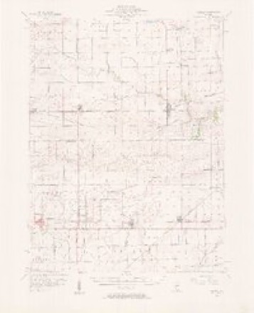
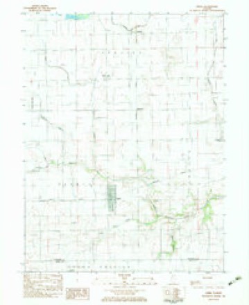
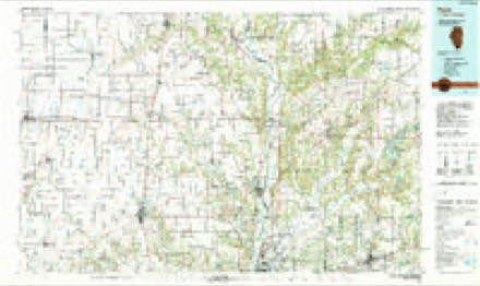
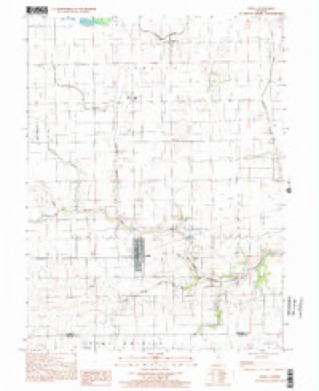
8 surveys from 14 printed sheetsMatched by testing this settlement's coordinate against the published boundary of every sheet in the United States Geological Survey's historical collection. Each opens the scanned sheet at the Survey.
- 1953 USGS Indianapolis quadrangle1:250000, 4 printings
- 1956 USGS Indianapolis quadrangle1:250000
- 1956 USGS Newman quadrangle1:62500, 2 printings
- 1957 USGS Indianapolis quadrangle1:250000, 2 printings
- 1962 USGS Indianapolis quadrangle1:250000
- 1982 USGS Sidell quadrangle1:24000
- 1986 USGS Paris quadrangle1:100000, 2 printings
- 1998 USGS Sidell quadrangle1:24000




In the county-history sources
4,716 words on this townshipHistory of Vermilion County, Together with Historic Notes on the Northwest, Gleaned from Early Authors, Old Maps and Manuscripts, Private and Official Correspondence, and Other Authentic, Though, for the Most Part, Out-of-the-way Sources, published 1879 names this settlement in its chapter on Sidell Township. These are the passages that mention it, exactly as the scans read.
The township of Sidell occupies the southwestern corner of the county, having Edgar and Champaign counties respectively for its southern and western boundaries, and Vance on its northern and Carroll on its eastern sides. Until 1867 it formed a portion of Carroll township for political purposes. When it was erected into a separate township the name was given to it in honor of Hon. John Sidell, who owned an extensive farm here. The valley of the Little Vermilion, here an inconsiderable stream, runs nearly through its center, having the ridges or strips of high land which bound this valley on the northern and southern boundaries of the township. This beautiful valley, more of a basin in appearance here, because so nearly destitute of trees, encloses within its pale some of the richest farming lands of Vermilion county. It was all originally prairie, except six small groves, aggregating less than two square miles of timber land. For this reason alone it failed to attract attention for the first twenty years of the county's history. The little groves had been taken, but the broad expanse of prairie, which forms the real wealth of this prairie township, was inhabited only by those pestiferous things which are disastrous alike to the peace of man and beast. Perhaps there never was, in the same range of country, so many inhuman flies as only a few years ago lived and made day noxious in the limits of this prairie basin of the Little Vermilion, now known as Sidell. "Flies till yon couldn't rest" is a mild way of putting it. During the month of August people found it necessary to travel by night to save their horses from being almost eaten up.
Passage source: History of Vermilion County, Together with Historic Notes on the Northwest, Gleaned from Early Authors, Old Maps and Manuscripts, Private and Official Correspondence, and Other Authentic, Though, for the Most Part, Out-of-the-way Sources, published 1879.
There were a few scattering residents in the township before 1850, but it was not until 1855 to 1860 that anything like general cultivation can be said to have taken place. In 1853 Michael Sullivant, whose recent sudden death, followed so close upon the loss of his large property, was so startling, began making his large entries of land in this and the adjoining counties. He entered forty-seven thousand acres lying in a body in Sidell township and in Champaign county. About the same time he entered over fifty thousand acres in Ford and Livingston counties. The portion which was in Sidell came into possession of his son Joseph, and he has from that time been managing it as a 6tock farm until last year. The Sullivant land in Champaign county, after having been brought into cultivation, was sold to Mr. Alexander, when Mr. Sullivant concluded to bring his large farm, lying in Ford and Livingston counties, into cultivation. His ambition was to have a large farm and work it by hired help. No portion of his land was leased, and he depended entirely on the grain that he raised and the sale of it.
Passage source: History of Vermilion County, Together with Historic Notes on the Northwest, Gleaned from Early Authors, Old Maps and Manuscripts, Private and Official Correspondence, and Other Authentic, Though, for the Most Part, Out-of-the-way Sources, published 1879.
The farming operations of Joseph, in Sidell, were of a different nature. He went largely into cattle feeding with ver}r fair results and flattering prospects. About 1867 the attention of farmers here was first called to the cheap cattle in Texas and the Indian Nation, where upon the large prairies they were raised cheaply until three or four years old, and then collected and driven across the country to be grassfed, and then grain-fed. The increasing demand for cattle, the reduced range in Illinois, and the other circumstances consequent upon Illinois emerging from a " state of nature," had so restricted the supply of " stackers " that cattle-men began looking elsewhere for them. The
Passage source: History of Vermilion County, Together with Historic Notes on the Northwest, Gleaned from Early Authors, Old Maps and Manuscripts, Private and Official Correspondence, and Other Authentic, Though, for the Most Part, Out-of-the-way Sources, published 1879.
Machine-read from a century-old scan, so expect the errors a machine makes: misspelled names, dropped words, stray characters.
Read the whole chapter on Sidell Township - it names this place 11 more 11 times.
Storms near this place
20 since 1996Regional context, not property-specific evidence. The National Weather Service names Sidell in 20 storm reports between 1996 and 2026: 9 thunderstorm wind, 8 hail, 2 tornado, 1 flash flood. No death or injury is recorded in these reports. Each account below is quoted exactly as the forecast office filed it, from the NOAA Storm Events Database, and each date opens the federal record of that event.
| When | Event | Place named | Harm | What the report says |
|---|---|---|---|---|
| June 2009 | Thunderstorm Wind | Sidell | $40,000 | Numerous trees and power lines were blown down. |
| July 2016 | Thunderstorm Wind | Sidell | $30,000 | Several trees and power lines were blown down. |
| August 2013 | Thunderstorm Wind | Sidell | $30,000 | Numerous trees and power lines were blown down in Sidell. |
| August 2014 | Thunderstorm Wind | Sidell | $25,000 | Several trees were blown down in Sidell. One power pole and a few power lines were downed as well. |
| July 2008 | Thunderstorm Wind | Sidell | $8,000 | Two trees were blown down, pulling down some power lines. |
| June 2023 | Thunderstorm Wind | Sidell | - | Numerous trees and power lines were blown down. |
| August 2022 | Thunderstorm Wind | Sidell | - | Trees were blown down in Sidell. |
| June 2019 | Thunderstorm Wind | Sidell | - | Several large tree limbs and power lines were blown down. |
| July 2010 | Tornado (EF0) | Sidell | - | A tornado briefly touched down in a field north of Sidell. No damage was reported. |
| April 2006 | Thunderstorm Wind | Sidell | - | Two garages were destroyed and several other structures received roof damage. Also, numerous trees, power poles and power lines were blown down. |
| April 2002 | Hail | Sidell | - | Hail up to one inch was reported in Sidell, Georgetown, and Danville. |
| April 1998 | Tornado (F0) | Sidell | - | A tornado briefly touched down in a field 2 miles southeast of Sidell. No injuries or damage were reported. |
| March 2026 | Hail | Sidell | - | no account filed |
| May 2014 | Hail | Sidell | - | no account filed |
| September 2012 | Hail | Sidell | - | no account filed |
| May 2011 | Hail | Sidell | - | no account filed |
| May 2003 | Hail | Sidell | - | no account filed |
| April 2002 | Hail | Sidell | - | no account filed |
| May 1998 | Hail | Sidell | - | no account filed |
| May 1996 | Flash Flood | Sidell | - | no account filed |
Nearest settlements
The eight closest, with where each one stands in the county. Distances are straight-line, computed from the Geographic Names Information System coordinates.
| Map | Place | Distance | Sheets |
|---|---|---|---|
| Archie | 1.1 miles | 14 | |
| Maizetown | 3.2 miles | 14 | |
| Hastings | 3.7 miles | 14 | |
| Indianola | 4.5 miles | 15 | |
| Jamaica | 5.7 miles | 14 | |
| Vermilion Grove | 8.9 miles | 15 | |
| Ridge Farm | 9.0 miles | 15 | |
| Fairmount | 9.4 miles | 16 |
Elsewhere
Matched on this settlement's Geographic Names Information System number rather than its name, so it cannot be a different place of the same name in another state.
| Wikipedia article on Sidell | An encyclopaedic summary. Its text is share-alike, so it is linked here rather than copied. |
| Wikidata item Q921183 | The structured record the population and elevation above come from. Public domain (CC0). |
Provenance
This settlement is recorded in the Geographic Names Information System as feature 418491. The sheet list is computed by point-in-boundary test against the United States Geological Survey's historical topographic inventory. Both are works of the United States government and carry no copyright under 17 U.S.C. 105.
Storms. NOAA National Centers for Environmental Information, Storm Events Database https://www.ncei.noaa.gov/stormevents/ A work of the United States government, no copyright under 17 U.S.C. 105. Narratives are quoted verbatim from the National Weather Service report and are not edited or summarised.