 Block
Fairmount, Illinois
16 topographic sheets cover this place, the earliest surveyed in 1931 and the latest in 1987. It stands in Vance Township. It lies in ZIP code area 61841. The Survey maps it on the Oakwood quadrangle. 612 people lived here at the 2020 count. It stands 666 feet above sea level.
Population over time
3 figuresFairmount fell from 640 to 612 between 2000 and 2020. These are the recorded population figures Wikidata holds for this place, reached through the Geographic Names Information System number this page is keyed on rather than by name, so they belong to this place and not to another of the same name. Most are census counts, but not all are: an early figure may be a founding or settlement estimate, and an estimate published within five years of a census is left out. The change column is computed, and is left blank where more than 20 years separate a figure from the one before it, because a gap that long is not a change between two counts.
| Year | People | Change |
|---|---|---|
| 2000 | 640 | |
| 2010 | 642 | +2 (+0%) |
| 2020 | 612 | -30 (-5%) |
Topographic sheets covering this place
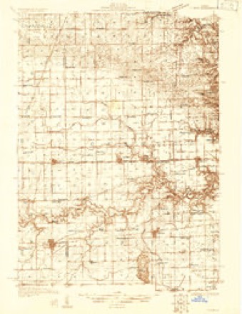
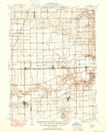
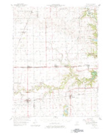
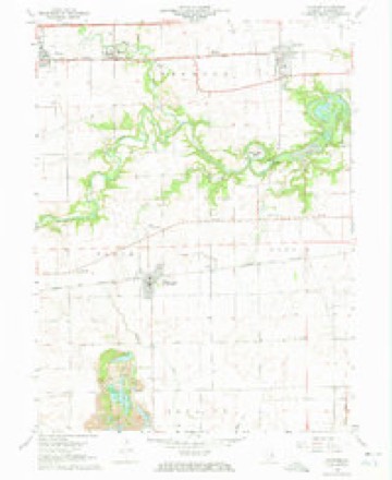
9 surveys from 16 printed sheetsMatched by testing this settlement's coordinate against the published boundary of every sheet in the United States Geological Survey's historical collection. Each opens the scanned sheet at the Survey.
- 1931 USGS Fithian quadrangle1:48000
- 1943 USGS Fithian quadrangle1:62500, 2 printings
- 1953 USGS Danville quadrangle1:250000, 3 printings
- 1955 USGS Danville quadrangle1:250000
- 1956 USGS Danville quadrangle1:250000
- 1957 USGS Fithian quadrangle1:62500, 3 printings
- 1968 USGS Oakwood quadrangle1:24000, 3 printings
- 1984 USGS Danville quadrangle1:100000
- 1987 USGS Danville quadrangle1:100000





In the county-history sources
5,091 words on this townshipHistory of Vermilion County, Together with Historic Notes on the Northwest, Gleaned from Early Authors, Old Maps and Manuscripts, Private and Official Correspondence, and Other Authentic, Though, for the Most Part, Out-of-the-way Sources, published 1879 names this settlement in its chapter on Vance Township. These are the passages that mention it, exactly as the scans read.
Yance township, as now bounded, occupies a position on the western border of the county, and is in the second tier of townships from the southern line, having Oakwood on its northern boundary, Catlin on its eastern, Sidell on its southern, and Champaign county on its western. The Salt Fork of the Vermilion river runs through its northern part nearly the whole length, which is skirted by timber on an average of about one mile on either bank. The township is seven miles long east and west, and live miles wide, and contains one section less than a full congressional township. The State Road from Danville to Decatur runs through, keeping as nearly as possible about one and one half miles away from the Salt Fork ; and the Wabash railway runs very nearly through its center, having the village of Fairmount, a neatly built and pleasantly located town, situated about one mile from its eastern border. Abundance of building-stone is found along and in the bed of the stream, and ledges of calcareo-silicious stone crop out on the prairie near the center of the town, which is the best known material for making roads, and makes an excellent quality of lime for building purposes, and for dressing for wheat lands. This stone is hard enough to withstand natural destruction from the elements, and soft enough to wear smooth under wagon-wheels, giving just the quality suitable for McAdam roads. It is being sparingly used here as yet, but in other places in this state where it has been used for years its value has been thoroughly tested and abundantly proved. There is a mine of wealth in these ledges of stone, such as crop out on the Big
Passage source: History of Vermilion County, Together with Historic Notes on the Northwest, Gleaned from Early Authors, Old Maps and Manuscripts, Private and Official Correspondence, and Other Authentic, Though, for the Most Part, Out-of-the-way Sources, published 1879.
As soon as the railroad was located, Ellsworth & Co. entered all the land along its line, from Danville to Decatur, that had not previously been taken, and held it for speculation. Owing to the revulsion which, in due course of nature's law, must, and did, follow the flush times of 1836, the speculators did not get an opportunity to sell their land for twenty years. With the actual building of the Wabash road came their opportunity to sell at from five to eight dollars per acre, so that their speculation was not a magnificent one by any means, for though taxation was much lighter then than now, the interest on their investment, and taxes for twenty years, amounted to no inconsiderable part of the receipts.
Passage source: History of Vermilion County, Together with Historic Notes on the Northwest, Gleaned from Early Authors, Old Maps and Manuscripts, Private and Official Correspondence, and Other Authentic, Though, for the Most Part, Out-of-the-way Sources, published 1879.
The first settler known to make a home within the bounds of Vance was Thomas Osborne, who made a little cabin in section 32, a mile or two northwest of Fairmonnt, in 1825. He did not do any large amount of clearing or farming, but spent his time in fishing and hunting, which latter was by far the most profitable business of that day and age. The skins and furs of a winter's crop were wTorth more than a corn crop. Osborne did not stay here long after the game began to grow scarce, but went on west. Mr. Rowell and Mr. Gazad had cabins near by, and, as " squatters," remained around here a short time. In the same neighborhood James Elliot, James French and Samuel Beaver commenced a year or two later. They also pushed on farther west, and William Davis bought their claims when he came here soon after. Beaver was a tanner, and kept and worked a small tan-yard, the material for which business was plenty here at that time. His house stood exactly where the Baptist church was built, - in fact, the church was, for some reason not now known, built around the house, which was torn down and carried out after the church was enclosed. The church was built in 1*35, and thirty years later was to have been moved to Fairmount, but was burned the night before it was to have started on its journey. Henry Hunter took up a claim in 1828, on section 33, just north of Fairmount. He sold to Jennings in 1833, and after living awhile here, died. His family are gone, some still living in Missouri. Jennings, a few years after, sold and went to the vicinity of Jacksonville, where his widow still resides. He was a peculiar man, and difficult to get along with ; was not, in fact, a popular neighbor, or a very agreeable man. The Catletts now own the land. Win. Steward the same year (1828) took up land near by, and died in 1833. His was the second grave in the Dougherty grave-yard. He is spoken of as being a man of excellent character. His land also belongs to the Catlett farm. Near by were several old cabins of those who had been here for a short time. Thomas Redmond and Joseph Yount came the same year from Ohio, and took up claims in section 3, near Homer. They remained here until they died. Some members of the Yount family live on the place yet.
Passage source: History of Vermilion County, Together with Historic Notes on the Northwest, Gleaned from Early Authors, Old Maps and Manuscripts, Private and Official Correspondence, and Other Authentic, Though, for the Most Part, Out-of-the-way Sources, published 1879.
Machine-read from a century-old scan, so expect the errors a machine makes: misspelled names, dropped words, stray characters.
Read the whole chapter on Vance Township - it names this place 6 more 6 times.
Mines and quarries near this place
2 within 5 milesRegional context, not property-specific evidence. The federal mineral resources record lists 2 workings within 5 miles of Fairmount: 1 plant, 1 past producer. 1 still produces. What was taken out: Stone, Crushed/Broken, Sand and Gravel, Construction. Distance is straight-line from the map coordinates, so a quarry counted here may appear on a neighbouring settlement's page as well.
| Where | Site | Commodity | Status | Recorded |
|---|---|---|---|---|
| Fairmount Quarry & Mill | Stone, Crushed/Broken | Plant | ||
| Seymour Gravel Pit | Sand and Gravel, Construction | Past Producer |
Storms near this place
12 since 2001Regional context, not property-specific evidence. The National Weather Service names Fairmount in 12 storm reports between 2001 and 2025: 7 thunderstorm wind, 3 hail, 2 tornado. No death or injury is recorded in these reports. Each account below is quoted exactly as the forecast office filed it, from the NOAA Storm Events Database, and each date opens the federal record of that event.
| When | Event | Place named | Harm | What the report says |
|---|---|---|---|---|
| March 2017 | Thunderstorm Wind | Fairmount | $65,000 | Several power poles were blown down near 1050N Road and 100E Road. |
| May 2009 | Tornado (EF0) | Fairmount | $35,000 | A tornado very briefly touched down 2 1/2 miles southeast of Homer or about 1/4 mile east of the intersection of County Roads 100E and 1050N. A large farm machinery shed was destroyed and several main transmission power poles were snapped. |
| May 2021 | Thunderstorm Wind | Fairmount | $20,000 | Several tree limbs were blown down, including one that fell onto a house. |
| May 2009 | Thunderstorm Wind | Fairmount | $3,000 | A tree was blown down onto power lines at the intersection of County Road 1050 North and 200 East. |
| August 2025 | Tornado (EFU) | Fairmount | - | Video and picture evidence showed a funnel cloud developing north of Homer. Sentinel satellite data suggested a brief touchdown in a field about 1.5 miles east of the Champaign/Vermilion County line just north of Catlin-Homer Road. Based on radar data, the tornado touched down at 6:47 PM CDT, then quickly lifted by 6:48 PM CDT. No damage was reported. |
| August 2025 | Thunderstorm Wind | Fairmount | - | Corn was blown down in a northeast to southwest direction just north of Catlin-Homer Road and west of North 130 East Road. |
| June 2023 | Thunderstorm Wind | Fairmount | - | Numerous trees and power lines were blown down. |
| November 2005 | Thunderstorm Wind | Fairmount | - | A tree and fence were blown down. |
| April 2001 | Thunderstorm Wind | Fairmount | - | Power lines and trees reported down. A empty semi trailer was tipped over onto the top of a car parked next to it in Fairmount. |
| April 2013 | Hail | Fairmount | - | no account filed |
| May 2012 | Hail | Fairmount | - | no account filed |
| June 2006 | Hail | Fairmount | - | no account filed |
Nearest settlements
The eight closest, with where each one stands in the county. Distances are straight-line, computed from the Geographic Names Information System coordinates.
Elsewhere
Matched on this settlement's Geographic Names Information System number rather than its name, so it cannot be a different place of the same name in another state.
| Wikipedia article on Fairmount | An encyclopaedic summary. Its text is share-alike, so it is linked here rather than copied. |
| Wikidata item Q2445793 | The structured record the population and elevation above come from. Public domain (CC0). |
Provenance
This settlement is recorded in the Geographic Names Information System as feature 408182. The sheet list is computed by point-in-boundary test against the United States Geological Survey's historical topographic inventory. Both are works of the United States government and carry no copyright under 17 U.S.C. 105.
Mines and quarries. USGS Mineral Resources Data System (MRDS) https://mrdata.usgs.gov/mrds/ A work of the United States government, no copyright under 17 U.S.C. 105.
Storms. NOAA National Centers for Environmental Information, Storm Events Database https://www.ncei.noaa.gov/stormevents/ A work of the United States government, no copyright under 17 U.S.C. 105. Narratives are quoted verbatim from the National Weather Service report and are not edited or summarised.