 Block
South Danville, Illinois
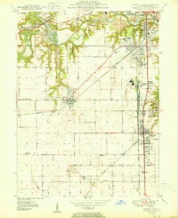
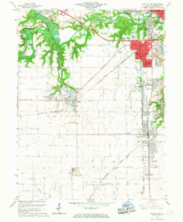
20 topographic sheets cover this place, the earliest surveyed in 1899 and the latest in 1987. It stands in Danville Township. It lies in ZIP code area 61832. It stands on North Fork Vermilion River. The Survey maps it on the Danville SW quadrangle.
On record in South Danville
Buildings and businesses the archive holds for this place. Each opens its own page, with the source record it came from.
On the National Register within a mile 5 records
The National Register names another town for these. They stand within one mile of this settlement's coordinate.
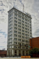 First National Bank Buildinglisted 2018 · 0.7 miles away
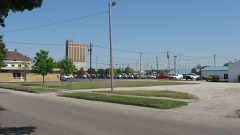 Building at 210-212 West North Streetlisted 2000 · 0.8 miles away
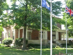 Fithian Houselisted 1975 · 0.9 miles away
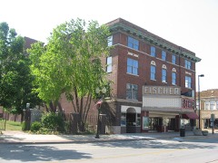 Fischer Theaterlisted 2001 · 0.9 miles away
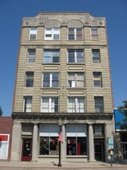 Adams Buildinglisted 2000 · 0.9 miles away
Topographic sheets covering this place
10 surveys from 20 printed sheetsMatched by testing this settlement's coordinate against the published boundary of every sheet in the United States Geological Survey's historical collection. Each opens the scanned sheet at the Survey.
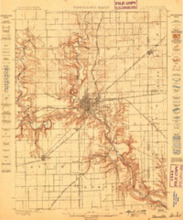
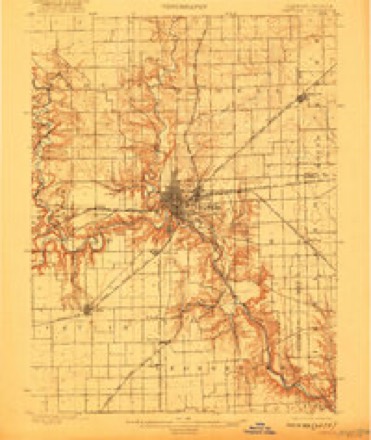
- 1899 USGS Danville quadrangle1:62500
- 1900 USGS Danville quadrangle1:62500, 7 printings
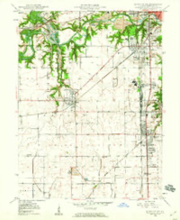
- 1949 USGS Danville SW quadrangle1:24000, 2 printings
- 1950 USGS Danville SW quadrangle1:24000
- 1953 USGS Danville quadrangle1:250000, 3 printings
- 1955 USGS Danville quadrangle1:250000
- 1956 USGS Danville quadrangle1:250000
- 1966 USGS Danville SW quadrangle1:24000, 2 printings
- 1984 USGS Danville quadrangle1:100000
- 1987 USGS Danville quadrangle1:100000





In the county-history sources
73,461 words on this townshipHistory of Vermilion County, Together with Historic Notes on the Northwest, Gleaned from Early Authors, Old Maps and Manuscripts, Private and Official Correspondence, and Other Authentic, Though, for the Most Part, Out-of-the-way Sources, published 1879 names this settlement in its chapter on Danville Township. These are the passages that mention it, exactly as the scans read.
An election was held April 22, for six trustees to put the organization into effect, at which 73 votes wrere cast. James Bracewell, James Hall, David Frazee, Joseph Anderson and M. C. Wilkinson were elected. B. T. Hodges and J. H. Lewis received an equal number of votes, and were in consequence summoned before his honor, Judge Hanford, to " draw straws." Lewis drew the short straw, and by this apparent game of chance, the dignity of a trustee of South Danville fell upon Hodges.
Passage source: History of Vermilion County, Together with Historic Notes on the Northwest, Gleaned from Early Authors, Old Maps and Manuscripts, Private and Official Correspondence, and Other Authentic, Though, for the Most Part, Out-of-the-way Sources, published 1879.
By ordinance, trustees receive one dollar for each regular meeting and fifty cents for each called meeting; treasurer and clerk, one dollar and twenty-live cents for each meeting. The citizens of South Danville are largely engaged in coal mining which is being carried on there.
Passage source: History of Vermilion County, Together with Historic Notes on the Northwest, Gleaned from Early Authors, Old Maps and Manuscripts, Private and Official Correspondence, and Other Authentic, Though, for the Most Part, Out-of-the-way Sources, published 1879.
The Welsh Independent Church was organized in South Danville March 10, 1872. Prior to the date named the United Brethren had erected a church building (the one now occupied and owned by the Welsh church) at a cost of $1,800. The brethren, however, disbanded at this place and sold out their property in 1875 to the present owners for $500. The organization of the church under consideration took place at the residence of Mrs W. Watkins, and consisted of twenty-two members. The organization was effected by the Rev. Roderick W. Williams, of Cincinnati, Ohio. The first regular pastor of the church was Rev. John Price. The church did not seem to prosper well for a number of years, and from a statement made to the Superintendent of Home Missions in September, 1878, we learn that the membership had dwindled down to two persons. At the date last mentioned Rev. John A. Griffin was put in charge of the feeble organization, and through his strenuous efforts new life and energy have been infused, and at this writing thirty-nine active members belong to the societv.
Passage source: History of Vermilion County, Together with Historic Notes on the Northwest, Gleaned from Early Authors, Old Maps and Manuscripts, Private and Official Correspondence, and Other Authentic, Though, for the Most Part, Out-of-the-way Sources, published 1879.
Machine-read from a century-old scan, so expect the errors a machine makes: misspelled names, dropped words, stray characters.
Read the whole chapter on Danville Township - it names this place 4 more 4 times.
Fires near this place
4 since 2004Regional context, not property-specific evidence. The federal wildfire occurrence database lists 4 fires within 5 miles of South Danville between 2004 and 2014, burning about 5 acres in total. None started naturally. None was recorded as arson. Distance is straight-line from the map coordinates, so a fire counted here may appear on a neighbouring settlement's page as well.
| Reported cause | Fires |
|---|---|
| Smoking | 2 |
| Debris and open burning | 2 |
The most recent of them, most recent first, with the day each was reported and the service that recorded it.
| Date | Cause | Size | Reported by | Name on the report |
|---|---|---|---|---|
| 23 March 2014 | Smoking | under an acre | Illinois Division of Forestry Resources | JORDAN2 |
| 23 March 2004 | Smoking | under an acre | Illinois State Fire Marshal's Office | not named |
| 17 March 2014 | Debris and open burning | 3.0 acres | Illinois Division of Forestry Resources | HOLLOWRD92 |
| 29 December 2013 | Debris and open burning | under an acre | Illinois Division of Forestry Resources | JORDAN1 |
Settlements close enough to share some of these fires:
Mines and quarries near this place
6 within 5 milesRegional context, not property-specific evidence. The federal mineral resources record lists 6 workings within 5 miles of South Danville: 3 past producers, 2 occurrences, 1 producer. 1 still produces. What was taken out: Sand and Gravel, Construction, Fire Clay (Refractory), Clay. Distance is straight-line from the map coordinates, so a quarry counted here may appear on a neighbouring settlement's page as well.
| Where | Site | Commodity | Status | Recorded |
|---|---|---|---|---|
| Danville Pit | Clay | Past Producer | ||
| Harmattan Mine Shale Exposure | Fire Clay (Refractory) | Occurrence | ||
| Western Brick Co. Shale Exposure | Fire Clay (Refractory) | Occurrence | ||
| Sand Valley Sand & Gravel | Sand and Gravel, Construction | Producer | ||
| Thomas Pit | Sand and Gravel, Construction | Past Producer | ||
| Tucker Pit | Sand and Gravel, Construction | Past Producer |
Nearest settlements
The eight closest, with where each one stands in the county. Distances are straight-line, computed from the Geographic Names Information System coordinates.
| Map | Place | Distance | Sheets |
|---|---|---|---|
| Danville | 0.8 miles | 20 | |
| Vermilion Heights | 1.0 miles | 20 | |
| Wyton | 1.0 miles | 19 | |
| Vandercook | 1.2 miles | 20 | |
| Beeler Terrace | 1.2 miles | 19 | |
| Tilton | 1.5 miles | 20 | |
| Hegeler | 2.7 miles | 20 | |
| Batestown | 3.1 miles | 20 |
Provenance
This settlement is recorded in the Geographic Names Information System as feature 418743. The sheet list is computed by point-in-boundary test against the United States Geological Survey's historical topographic inventory. Both are works of the United States government and carry no copyright under 17 U.S.C. 105.
Wildfire. Short, Karen C. 2022. Spatial wildfire occurrence data for the United States, 1992-2020 [FPA_FOD_20221014]. 6th Edition. Fort Collins, CO: Forest Service Research Data Archive. https://doi.org/10.2737/RDS-2013-0009.6 Collected with United States Government funding and usable without additional permissions or fees.
Mines and quarries. USGS Mineral Resources Data System (MRDS) https://mrdata.usgs.gov/mrds/ A work of the United States government, no copyright under 17 U.S.C. 105.