 Block
Tilton, Illinois
20 topographic sheets cover this place, the earliest surveyed in 1899 and the latest in 1987. It stands in Danville Township. It lies in ZIP code area 61833. The Survey maps it on the Danville SW quadrangle. 2,660 people lived here at the 2020 count. It stands 643 feet above sea level.
Population over time
2 figuresTilton fell from 2,724 to 2,660 between 2010 and 2020. These are the recorded population figures Wikidata holds for this place, reached through the Geographic Names Information System number this page is keyed on rather than by name, so they belong to this place and not to another of the same name. Most are census counts, but not all are: an early figure may be a founding or settlement estimate, and an estimate published within five years of a census is left out. The change column is computed, and is left blank where more than 20 years separate a figure from the one before it, because a gap that long is not a change between two counts.
| Year | People | Change |
|---|---|---|
| 2010 | 2,724 | |
| 2020 | 2,660 | -64 (-2%) |
Topographic sheets covering this place
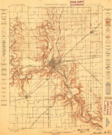
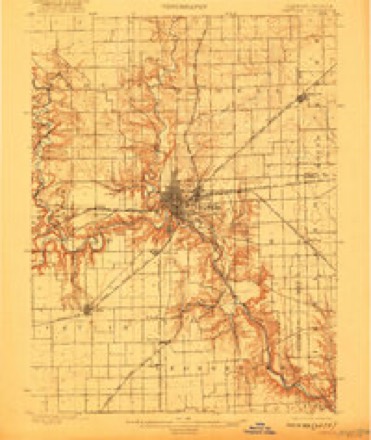
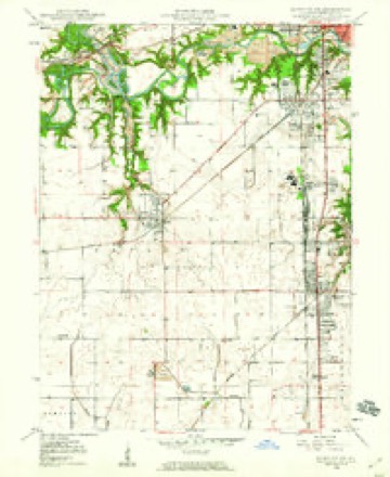
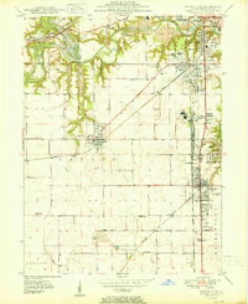
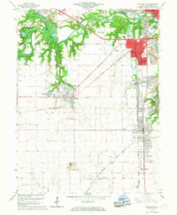
10 surveys from 20 printed sheetsMatched by testing this settlement's coordinate against the published boundary of every sheet in the United States Geological Survey's historical collection. Each opens the scanned sheet at the Survey.
- 1899 USGS Danville quadrangle1:62500
- 1900 USGS Danville quadrangle1:62500, 7 printings
- 1949 USGS Danville SW quadrangle1:24000, 2 printings
- 1950 USGS Danville SW quadrangle1:24000
- 1953 USGS Danville quadrangle1:250000, 3 printings
- 1955 USGS Danville quadrangle1:250000
- 1956 USGS Danville quadrangle1:250000
- 1966 USGS Danville SW quadrangle1:24000, 2 printings
- 1984 USGS Danville quadrangle1:100000
- 1987 USGS Danville quadrangle1:100000





In the county-history sources
73,461 words on this townshipHistory of Vermilion County, Together with Historic Notes on the Northwest, Gleaned from Early Authors, Old Maps and Manuscripts, Private and Official Correspondence, and Other Authentic, Though, for the Most Part, Out-of-the-way Sources, published 1879 names this settlement in its chapter on Danville Township. These are the passages that mention it, exactly as the scans read.
The first meetings of Til ton M. E. Church were held in the schoolhouse at Tilton. Among the first members were 0. B. Scharer and wife, M. C. Smith and wife, Noah Morgan and wife and M. Founder. The present church was built in 1872, at a cost of over $1,100. The members of this church numbered at one time some fifty; but on account of many removals and some deaths the membership is at present only about fifteen. The church was dedicated by Dr. R. N. Davies. The present pastor is the Rev. S. H. Huber. The present superintendent of the Sunday-school is Mary Lewis; the number of scholars is about twenty-five.
Passage source: History of Vermilion County, Together with Historic Notes on the Northwest, Gleaned from Early Authors, Old Maps and Manuscripts, Private and Official Correspondence, and Other Authentic, Though, for the Most Part, Out-of-the-way Sources, published 1879.
The Christian Church of Tilton, by some known as the New Light Church, was erected in 1872, at a cost of about $1,400, and was dedicated by Elder Wilkins. The first pastor in charge was Rev. John Green, the present preacher. Among the original members of the society were S. Hodge, Benjamin Hodge and wife, William Hodge and wife, John Green and wife and William Butler and wife. The society is in a very flourishing condition and the membership is quite large. A good Sabbath-school, under the superintendence of John Radliff, is also sustained.
Passage source: History of Vermilion County, Together with Historic Notes on the Northwest, Gleaned from Early Authors, Old Maps and Manuscripts, Private and Official Correspondence, and Other Authentic, Though, for the Most Part, Out-of-the-way Sources, published 1879.
John G. Leverich, Danville, master in chancery, whose portrait appears in this work, is a fair example of what may be attained by perseverance, industry and energy. He was born on the 10th of October, 1819, in Newtown, Queens county, New York, a suburb of New York city, and is the son of John and Alletta (Berrien) Leverich, both natives of New York. John Leverich, the father of Mr. Leverich, was a blacksmith by trade, and followed farming. He was a sergeant in a company of New York militia in the war of 1S12. ' Both parents died on Long Island, New York. At fourteen years of age Mr. Leverich accepted a clerkship in New York city, where he remained until 1841. This year, in company with Judge O. L. Davis, he set out for the far west, arriving and locating the same year in Danville, which has been his home ever since. Here he commenced clerking in a store, and from that he entered the mercantile business in company with his brother, R. T. Leverich, keeping a general stock of merchandise. He continued in business with his brother about five years. In 1860 he was appointed master in chancery, which office he has held ever since, and to-day is perhaps the oldest master in chancery in the state of Illinois. He has ably and punctually discharged his official duties, and shares as a result a gratifying degree of popularity. In 1847 Mr. Leverich married Miss Sarah Tilton, by whom they have had five children, two deceased. In politics he is a republican, of which party he has been a member ever since its organization.
Passage source: History of Vermilion County, Together with Historic Notes on the Northwest, Gleaned from Early Authors, Old Maps and Manuscripts, Private and Official Correspondence, and Other Authentic, Though, for the Most Part, Out-of-the-way Sources, published 1879.
Machine-read from a century-old scan, so expect the errors a machine makes: misspelled names, dropped words, stray characters.
Fires near this place
4 since 2003Regional context, not property-specific evidence. The federal wildfire occurrence database lists 4 fires within 5 miles of Tilton between 2003 and 2014, burning about 9 acres in total. None started naturally. None was recorded as arson. Distance is straight-line from the map coordinates, so a fire counted here may appear on a neighbouring settlement's page as well.
| Reported cause | Fires |
|---|---|
| Smoking | 2 |
| Recreation and ceremony | 1 |
| Debris and open burning | 1 |
The most recent of them, most recent first, with the day each was reported and the service that recorded it.
| Date | Cause | Size | Reported by | Name on the report |
|---|---|---|---|---|
| 23 March 2014 | Smoking | under an acre | Illinois Division of Forestry Resources | JORDAN2 |
| 23 March 2004 | Smoking | under an acre | Illinois State Fire Marshal's Office | not named |
| 23 March 2003 | Recreation and ceremony | 5.0 acres | Illinois State Fire Marshal's Office | not named |
| 17 March 2014 | Debris and open burning | 3.0 acres | Illinois Division of Forestry Resources | HOLLOWRD92 |
Settlements close enough to share some of these fires:
Mines and quarries near this place
6 within 5 milesRegional context, not property-specific evidence. The federal mineral resources record lists 6 workings within 5 miles of Tilton: 3 past producers, 2 occurrences, 1 producer. 1 still produces. What was taken out: Sand and Gravel, Construction, Fire Clay (Refractory), Clay. Distance is straight-line from the map coordinates, so a quarry counted here may appear on a neighbouring settlement's page as well.
| Where | Site | Commodity | Status | Recorded |
|---|---|---|---|---|
| Danville Pit | Clay | Past Producer | ||
| Harmattan Mine Shale Exposure | Fire Clay (Refractory) | Occurrence | ||
| Western Brick Co. Shale Exposure | Fire Clay (Refractory) | Occurrence | ||
| Sand Valley Sand & Gravel | Sand and Gravel, Construction | Producer | ||
| Thomas Pit | Sand and Gravel, Construction | Past Producer | ||
| Tucker Pit | Sand and Gravel, Construction | Past Producer |
Storms near this place
14 since 2000Regional context, not property-specific evidence. The National Weather Service names Tilton in 14 storm reports between 2000 and 2023: 12 thunderstorm wind, 2 hail. No death or injury is recorded in these reports. Each account below is quoted exactly as the forecast office filed it, from the NOAA Storm Events Database, and each date opens the federal record of that event.
| When | Event | Place named | Harm | What the report says |
|---|---|---|---|---|
| June 2011 | Thunderstorm Wind | Tilton | $40,000 | Numerous trees were blown down in Tilton. |
| September 2015 | Thunderstorm Wind | Tilton | $20,000 | A couple of trees were snapped or uprooted in Tilton. One tree fell onto a house. |
| June 2010 | Thunderstorm Wind | Tilton | $12,000 | Numerous power lines were blown down. |
| July 2017 | Thunderstorm Wind | Tilton | $10,000 | Trees were blown down onto Route 1 and 14th Street in Tilton. |
| June 2016 | Thunderstorm Wind | Tilton | $2,000 | A tree was blown down at the intersection of Second and North L streets in Tilton. |
| June 2023 | Thunderstorm Wind | Tilton | - | Several trees were blown onto houses. |
| June 2023 | Thunderstorm Wind | Tilton | - | A camper was flipped and rolled into other vehicles. |
| August 2022 | Thunderstorm Wind | Tilton | - | Power poles were blown down and a transformer caught on fire near the 1700 block of Washington Street. |
| June 2019 | Thunderstorm Wind | Tilton | - | Power lines were blown down at the intersection of Perrysville Avenue and Griffin Street on the southeast side of Danville. |
| August 2019 | Thunderstorm Wind | Tilton | - | Several trees were damaged from Tilton to Westville. Power lines were blown down near Westville Sanitary Plant. |
| August 2019 | Thunderstorm Wind | Tilton | - | Several trees were blown down in Tilton. |
| June 2000 | Thunderstorm Wind | Tilton | - | Numerous large tree limbs were blown down as well as 4 power poles. |
| August 2019 | Hail | Tilton | - | no account filed |
| June 2006 | Hail | Tilton | - | no account filed |
Nearest settlements
The eight closest, with where each one stands in the county. Distances are straight-line, computed from the Geographic Names Information System coordinates.
| Map | Place | Distance | Sheets |
|---|---|---|---|
| Vandercook | 0.3 miles | 20 | |
| South Danville | 1.5 miles | 20 | |
| Hegeler | 1.5 miles | 20 | |
| Vermilion Heights | 2.0 miles | 20 | |
| Danville | 2.2 miles | 20 | |
| Wyton | 2.4 miles | 19 | |
| Belgium | 2.4 miles | 20 | |
| Beeler Terrace | 2.7 miles | 19 |
Elsewhere
Matched on this settlement's Geographic Names Information System number rather than its name, so it cannot be a different place of the same name in another state.
| Wikipedia article on Tilton | An encyclopaedic summary. Its text is share-alike, so it is linked here rather than copied. |
| Wikidata item Q2304097 | The structured record the population and elevation above come from. Public domain (CC0). |
Provenance
This settlement is recorded in the Geographic Names Information System as feature 419717. The sheet list is computed by point-in-boundary test against the United States Geological Survey's historical topographic inventory. Both are works of the United States government and carry no copyright under 17 U.S.C. 105.
Wildfire. Short, Karen C. 2022. Spatial wildfire occurrence data for the United States, 1992-2020 [FPA_FOD_20221014]. 6th Edition. Fort Collins, CO: Forest Service Research Data Archive. https://doi.org/10.2737/RDS-2013-0009.6 Collected with United States Government funding and usable without additional permissions or fees.
Mines and quarries. USGS Mineral Resources Data System (MRDS) https://mrdata.usgs.gov/mrds/ A work of the United States government, no copyright under 17 U.S.C. 105.
Storms. NOAA National Centers for Environmental Information, Storm Events Database https://www.ncei.noaa.gov/stormevents/ A work of the United States government, no copyright under 17 U.S.C. 105. Narratives are quoted verbatim from the National Weather Service report and are not edited or summarised.