 Block
Sun River Terrace, Illinois
14 topographic sheets cover this place, the earliest surveyed in 1922 and the latest in 1991. It stands in Ganeer Township. It lies in ZIP code area 60964. It lies near Eagle Island. The Survey maps it on the Momence quadrangle. 455 people lived here at the 2020 count. It stands 622 feet above sea level.
Population over time
2 figuresSun River Terrace fell from 528 to 455 between 2010 and 2020. These are the recorded population figures Wikidata holds for this place, reached through the Geographic Names Information System number this page is keyed on rather than by name, so they belong to this place and not to another of the same name. Most are census counts, but not all are: an early figure may be a founding or settlement estimate, and an estimate published within five years of a census is left out. The change column is computed, and is left blank where more than 20 years separate a figure from the one before it, because a gap that long is not a change between two counts.
| Year | People | Change |
|---|---|---|
| 2010 | 528 | |
| 2020 | 455 | -73 (-14%) |
Topographic sheets covering this place
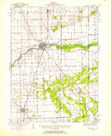
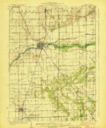
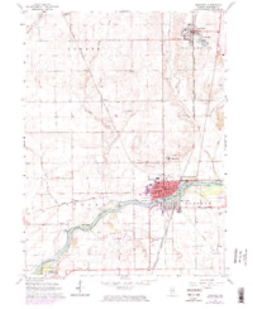
7 surveys from 14 printed sheetsMatched by testing this settlement's coordinate against the published boundary of every sheet in the United States Geological Survey's historical collection. Each opens the scanned sheet at the Survey.
- 1922 USGS Momence quadrangle1:62500
- 1924 USGS Momence quadrangle1:62500, 2 printings
- 1953 USGS Chicago quadrangle1:250000, 5 printings
- 1957 USGS Chicago quadrangle1:250000
- 1964 USGS Momence quadrangle1:24000, 3 printings
- 1984 USGS Kankakee quadrangle1:100000
- 1991 USGS Kankakee quadrangle1:100000
Fires near this place
4 since 2009Regional context, not property-specific evidence. The federal wildfire occurrence database lists 4 fires within 5 miles of Sun River Terrace between 2009 and 2018, burning about 6 acres in total. None started naturally. None was recorded as arson. Distance is straight-line from the map coordinates, so a fire counted here may appear on a neighbouring settlement's page as well.
| Reported cause | Fires |
|---|---|
| Missing data/not specified/undetermined | 3 |
| Debris and open burning | 1 |
The most recent of them, most recent first, with the day each was reported and the service that recorded it.
| Date | Cause | Size | Reported by | Name on the report |
|---|---|---|---|---|
| 26 May 2009 | Missing data/not specified/undetermined | under an acre | Illinois Division of Forestry Resources | 400 |
| 29 March 2018 | Missing data/not specified/undetermined | 2.0 acres | Illinois Division of Forestry Resources | 18-1452 |
| 3 February 2018 | Debris and open burning | 3.0 acres | Illinois Division of Forestry Resources | 18-620 |
| 31 October 2009 | Missing data/not specified/undetermined | under an acre | Illinois Division of Forestry Resources | UNKNOWN |
Settlements close enough to share some of these fires:
Mines and quarries near this place
3 within 5 milesRegional context, not property-specific evidence. The federal mineral resources record lists 3 workings within 5 miles of Sun River Terrace: 2 producers, 1 past producer. 2 still produce. What was taken out: Sand and Gravel, Construction, Stone, Crushed/Broken. Distance is straight-line from the map coordinates, so a quarry counted here may appear on a neighbouring settlement's page as well.
| Where | Site | Commodity | Status | Recorded |
|---|---|---|---|---|
| Lehigh Main Quarry | Stone, Crushed/Broken | Producer | ||
| Azzarelli Pit No.2 | Sand and Gravel, Construction | Past Producer | ||
| Havener Sand Pit | Sand and Gravel, Construction | Producer |
Storms near this place
9 since 2022Regional context, not property-specific evidence. The National Weather Service names Sun River Terrace in 9 storm reports between 2022 and 2026: 5 tornado, 2 thunderstorm wind, 1 flood, 1 hail. No death or injury is recorded in these reports. Each account below is quoted exactly as the forecast office filed it, from the NOAA Storm Events Database, and each date opens the federal record of that event.
| When | Event | Place named | Harm | What the report says |
|---|---|---|---|---|
| March 2026 | Tornado (EFU) | Sun River Terrace | - | Video shared on social media taken on S 8250E Road approximately three quarters of a mile south of IL-17 showed a ground circulation occurring in a field to the west, coincident with a brief circulation noted in radar imagery. Swirl patterns were also identified in Gray Sky satellite imagery where the tornado was observed. There is no known damage that was caused by the tornado. |
| March 2026 | Tornado (EFU) | Sun River Terrace | - | Video taken from S 13000E Road south of E 1000S Road looking west showed a brief anticyclonic tornado occurring in a field. Video time stamp and location matches an area of anticyclonic rotation seen on radar imagery. There is no known damage that was caused by the tornado. |
| March 2026 | Tornado (EF1) | Sun River Terrace | - | An EF-1 tornado that was a satellite to the impactful Aroma Park area EF-3 tornado formed northeast of Aroma Park. High-resolution satellite imagery, storm chaser video, and radar data all depicted a generally southward-moving satellite tornado. Storm chaser video looking southeast from IL-17 captured the development of the tornado, which initially moved southwestward for about 30 seconds before becoming obscured by rain. Clear swirl marks (including several loops) were evident in a field north of S. Sandbar Road in Gray Sky satellite imagery near the start of the tornado. As the tornado continued southward, it uprooted a grove of trees in the vicinity of S. Sandbar Road, consistent with wind speeds near 90 mph. Sporadic tree damage was noted in high-resolution satellite imagery south of the Kankakee River, just to the east of a subdivision on Bittersweet Drive, before the tornado dissipated. |
| April 2026 | Tornado (EF0) | Sun River Terrace | - | A brief EF-0 tornado started near Farr Creek in the small community of Eldridge within unincorporated Momence. Along the path, a combination of scattered tree damage and outbuilding roof damage was noted. As the tornado tracked north of the center of Momence, multiple power poles were downed along IL-1, with additional tree damage noted near 5500N. The tornado appears to have dissipated just northeast of Trimm Creek. |
| April 2025 | Thunderstorm Wind | Sun River Terrace | - | A photo showed a large section of metal roof panels that were blown off a farm outbuilding west of Momence. |
| January 2024 | Flood | Sun River Terrace | - | Minor flooding of a roadway and full ditches were reported near Sand Bar Road and Dudley Grove Road. |
| July 2023 | Tornado (EF1) | Sun River Terrace | - | This tornado began just west of 8000 East Road at 2500 North Road west of Momence, based upon drone imagery provided by the Kankakee County Emergency Management Agency. The tornado produced EF-0 damage to a farm near the aforementioned intersection with damage to tree branches and part of a metal outbuilding roof damaged. The tornado continued east just south of 2500 North Road with a narrow, convergent path evident in a corn field from drone imagery. The tornado's intensity briefly weakened in the immediate vicinity of the Kankakee River with only limited tree damage noted. Just east of River South Road, the tornado again intensified as it moved through fields toward IL-17. Drone footage again indicated a narrow path of convergent damage in corn fields until the tornado moved into the backyards of a few residences on River South Road, causing significant damage to multiple trees. As the tornado moved east, drone footage revealed additional corn flattened in the field southwest of the Van Drunen Farms building. The tornado then struck a row of two-story apartment homes on Harvard Street, removing the roof and a portion of the upper-level walls from one of them and depositing the debris over the next couple of blocks to the east. Damage to the adjacent apartment homes was very minor. East of Harvard Street, there was little to no additional structural damage, but there was considerable damage to trees and power lines, especially along Indiana Street. East of Momence, the tornado continued along Route 114. Just west of N 13250E Road, it removed part of the roof of a metal outbuilding while snapping and uprooting additional trees. Little to no additional tornado damage was observed east of the intersection of Route 114 and N 13250E Road. |
| August 2022 | Thunderstorm Wind | Sun River Terrace | - | A tree was uprooted. |
| March 2026 | Hail | Sun River Terrace | - | no account filed |
Nearest settlements
The eight closest, with where each one stands in the county. Distances are straight-line, computed from the Geographic Names Information System coordinates.
| Map | Place | Distance | Sheets |
|---|---|---|---|
| Exline | 2.4 miles | 15 | |
| Eldridge | 2.4 miles | 14 | |
| Koster | 3.6 miles | 13 | |
| Momence | 4.7 miles | 14 | |
| Collins (historical) | 4.7 miles | 13 | |
| Saint George | 5.0 miles | 15 | |
| Wichert | 5.1 miles | 13 | |
| Aroma Park | 5.2 miles | 14 |
Elsewhere
Matched on this settlement's Geographic Names Information System number rather than its name, so it cannot be a different place of the same name in another state.
| Wikipedia article on Sun River Terrace | An encyclopaedic summary. Its text is share-alike, so it is linked here rather than copied. |
| Wikidata item Q2586212 | The structured record the population and elevation above come from. Public domain (CC0). |
Provenance
This settlement is recorded in the Geographic Names Information System as feature 1669481. The sheet list is computed by point-in-boundary test against the United States Geological Survey's historical topographic inventory. Both are works of the United States government and carry no copyright under 17 U.S.C. 105.
Wildfire. Short, Karen C. 2022. Spatial wildfire occurrence data for the United States, 1992-2020 [FPA_FOD_20221014]. 6th Edition. Fort Collins, CO: Forest Service Research Data Archive. https://doi.org/10.2737/RDS-2013-0009.6 Collected with United States Government funding and usable without additional permissions or fees.
Mines and quarries. USGS Mineral Resources Data System (MRDS) https://mrdata.usgs.gov/mrds/ A work of the United States government, no copyright under 17 U.S.C. 105.
Storms. NOAA National Centers for Environmental Information, Storm Events Database https://www.ncei.noaa.gov/stormevents/ A work of the United States government, no copyright under 17 U.S.C. 105. Narratives are quoted verbatim from the National Weather Service report and are not edited or summarised.