 Block
Thayer, Illinois
13 topographic sheets cover this place, the earliest surveyed in 1924 and the latest in 1998. It stands in Auburn Township. It lies in ZIP code area 62689. The Survey maps it on the Virden North quadrangle. 632 people lived here at the 2020 count. It stands 646 feet above sea level.
Population over time
2 figuresThayer fell from 693 to 632 between 2010 and 2020. These are the recorded population figures Wikidata holds for this place, reached through the Geographic Names Information System number this page is keyed on rather than by name, so they belong to this place and not to another of the same name. Most are census counts, but not all are: an early figure may be a founding or settlement estimate, and an estimate published within five years of a census is left out. The change column is computed, and is left blank where more than 20 years separate a figure from the one before it, because a gap that long is not a change between two counts.
| Year | People | Change |
|---|---|---|
| 2010 | 693 | |
| 2020 | 632 | -61 (-9%) |
Topographic sheets covering this place
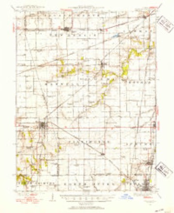
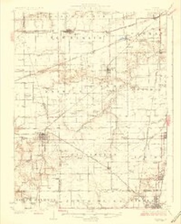
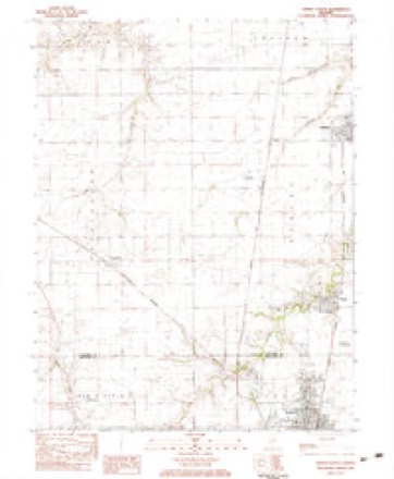
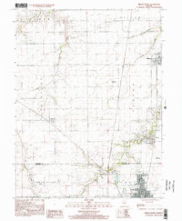
7 surveys from 13 printed sheetsMatched by testing this settlement's coordinate against the published boundary of every sheet in the United States Geological Survey's historical collection. Each opens the scanned sheet at the Survey.
- 1924 USGS Waverly quadrangle1:62500, 2 printings
- 1926 USGS Waverly quadrangle1:62500, 2 printings
- 1958 USGS Decatur quadrangle1:250000, 3 printings
- 1961 USGS Decatur quadrangle1:250000, 2 printings
- 1983 USGS Virden North quadrangle1:24000
- 1985 USGS Springfield quadrangle1:100000, 2 printings
- 1998 USGS Virden North quadrangle1:24000



In the county-history sources
22,350 words on this townshipHistory of Sangamon County, Illinois; Together with Sketches of Its Cities, Villages and Townships ... Portraits of Prominent Persons, and Biographies of Representative Citizens. History of Illinois, published 1881 names this settlement in its chapter on Auburn Township. These are the passages that mention it, exactly as the scans read.
Hub. From Boston went to Dedhara, where he was employed in a wheel factory, at $35 per month, where his part of the work was driving spokes. Not fancying the work, he went to Worcester, but remained a short time, when he left there and went to Concord, where he was employed by E. R. Thayer, and remained three years. When he got the Western fever in his head from what he had heard from a man by the name of E. G. Loring, who had located in Winona, Minnesota, and had returned to Concord for his family. Taking his advice he came West, and located in Winona, at that time a small town. Nothing but small shanties, and the chilling winds, and drinking the Mississippi w^ater, made him sick, and was also sick of town, concluded he would leave. Took a boat and came down as far as Davenport, and from there went to Iowa City, where he made the acquaintance of a young man, and he not being sat'siied started out for Omaha, Nebraska. Being desirous of obtaining land, they proceeded beyond the Pawnee village, where they found land and pitched their tents, having taken provisions along with them. They remained until they had eaten up their provisions, then returned to Omaha, where he left his friend, embarked on a steamer, which he will always remember by the class of men it had on board. B y the description given by Mr. Morse they were the border ruffians. Long hair, slouched hats, with a bowie knife and a revolver in their belts, and were looking for a d - d Abolitionist. Came down to St. Joe, where he remained over one night, took the first boat for St. Louis. From there came to Girard, Illinois, where he stopped over night, but not liking the appearance of the town went to Springfield, but not finding work engaged to a man in the country by the name of William Search. He became acquainted with a man by the name of Babcock, who persuaded him to come to Auburn, where he purchased a small shop of James Babcock, eighteen by twentyfour, which he paid for by finishing and making eighteen wagons.
Passage source: History of Sangamon County, Illinois; Together with Sketches of Its Cities, Villages and Townships ... Portraits of Prominent Persons, and Biographies of Representative Citizens. History of Illinois, published 1881.
Machine-read from a century-old scan, so expect the errors a machine makes: misspelled names, dropped words, stray characters.
Storms near this place
1 since 2011Regional context, not property-specific evidence. The National Weather Service names Thayer in 1 storm report in 2011: 1 flash flood. No death or injury is recorded in these reports. Each account below is quoted exactly as the forecast office filed it, from the NOAA Storm Events Database, and each date opens the federal record of that event.
| When | Event | Place named | Harm | What the report says |
|---|---|---|---|---|
| May 2011 | Flash Flood | Thayer | - | Severe thunderstorms produced very heavy rainfall with nearly 2.00 of rain in 30 minutes across extreme east and southeast Sangamon County. The biggest impacts were from Divernon through Pawnee to southeast of Mechanicsburg where 3.00 to 4.00 of rain during the early evening resulted in extensive flash flooding of roads and creeks. |
Nearest settlements
The eight closest, with where each one stands in the county. Distances are straight-line, computed from the Geographic Names Information System coordinates.
| Map | Place | Distance | Sheets |
|---|---|---|---|
| Tower Heights | 1.0 miles | 13 | |
| Lemmon (historical) | 1.7 miles | 13 | |
| Compro | 3.7 miles | 13 | |
| Auburn | 3.8 miles | 13 | |
| Lowder | 4.5 miles | 13 | |
| Divernon | 5.9 miles | 13 | |
| Irwins Park | 6.4 miles | 14 | |
| Cimic | 6.7 miles | 13 |
Elsewhere
Matched on this settlement's Geographic Names Information System number rather than its name, so it cannot be a different place of the same name in another state.
| Wikipedia article on Thayer | An encyclopaedic summary. Its text is share-alike, so it is linked here rather than copied. |
| Wikidata item Q2486641 | The structured record the population and elevation above come from. Public domain (CC0). |
Provenance
This settlement is recorded in the Geographic Names Information System as feature 419624. The sheet list is computed by point-in-boundary test against the United States Geological Survey's historical topographic inventory. Both are works of the United States government and carry no copyright under 17 U.S.C. 105.
Storms. NOAA National Centers for Environmental Information, Storm Events Database https://www.ncei.noaa.gov/stormevents/ A work of the United States government, no copyright under 17 U.S.C. 105. Narratives are quoted verbatim from the National Weather Service report and are not edited or summarised.