 Block
Ware, Illinois
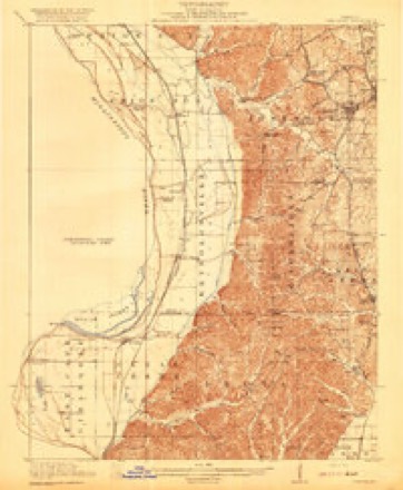
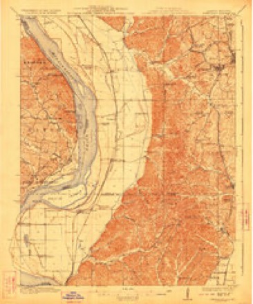
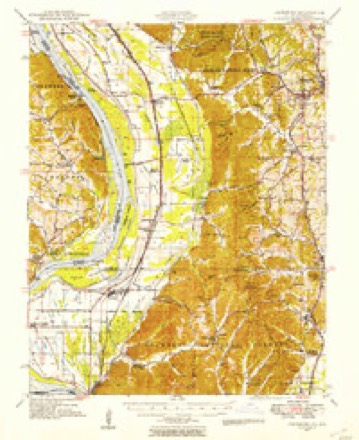
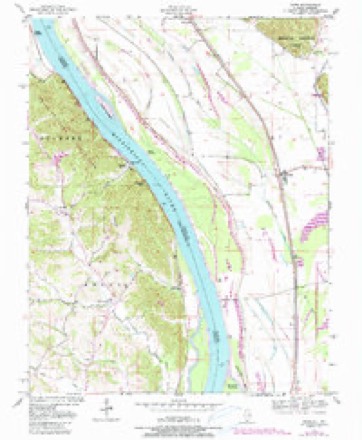
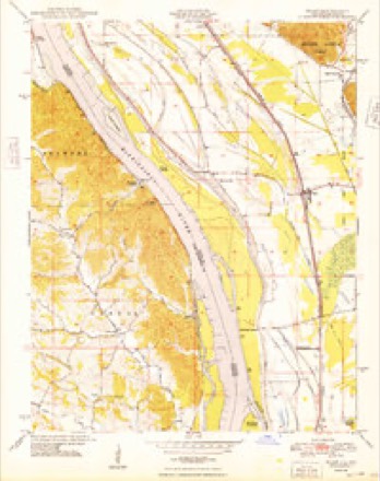
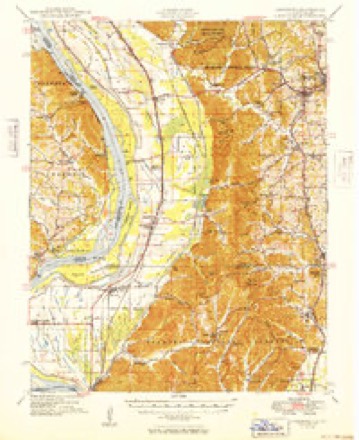
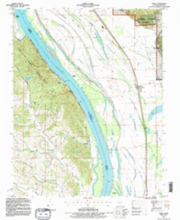
25 topographic sheets cover this place, the earliest surveyed in 1920 and the latest in 1993. It stands in Union precinct. It lies in ZIP code area 62952. It stands on Dutch Creek. The Survey maps it on the Ware quadrangle.
Topographic sheets covering this place
15 surveys from 25 printed sheetsMatched by testing this settlement's coordinate against the published boundary of every sheet in the United States Geological Survey's historical collection. Each opens the scanned sheet at the Survey.
- 1920 USGS Jonesboro quadrangle1:62500
- 1923 USGS Jonesboro quadrangle1:62500, 2 printings
- 1947 USGS Jonesboro quadrangle1:62500, 3 printings
- 1947 USGS Ware quadrangle1:24000, 3 printings
- 1948 USGS Ware quadrangle1:24000, 2 printings
- 1949 USGS Jonesboro quadrangle1:62500
- 1949 USGS Paducah quadrangle1:250000, 2 printings
- 1950 USGS Paducah quadrangle1:250000
- 1954 USGS Paducah quadrangle1:250000, 2 printings
- 1961 USGS Paducah quadrangle1:250000, 2 printings
- 1964 USGS Paducah quadrangle1:250000, 2 printings
- 1984 USGS Cape Girardeau quadrangle1:100000
- 1986 USGS Cape Girardeau quadrangle1:100000
- 1987 USGS Paducah quadrangle1:250000
- 1993 USGS Ware quadrangle1:24000






Fires near this place
24 since 1994Regional context, not property-specific evidence. The federal wildfire occurrence database lists 24 fires within 5 miles of Ware between 1994 and 2020, burning about 77 acres in total. 1 started naturally. 8 were recorded as arson. Distance is straight-line from the map coordinates, so a fire counted here may appear on a neighbouring settlement's page as well.
| Reported cause | Fires |
|---|---|
| Debris and open burning | 10 |
| Arson/incendiarism | 8 |
| Missing data/not specified/undetermined | 4 |
| Equipment and vehicle use | 1 |
| Natural | 1 |
The most recent of them, most recent first, with the day each was reported and the service that recorded it.
| Date | Cause | Size | Reported by | Name on the report |
|---|---|---|---|---|
| 8 July 2008 | Arson/incendiarism | under an acre | Shawnee National Forest | PINE HILLS CAMP GROU |
| 14 July 2003 | Missing data/not specified/undetermined | 3.0 acres | Shawnee National Forest | FESCUE FIRE |
| 7 April 2017 | Natural | 1.0 acres | Missouri Department of Conservation | not named |
| 2 April 2017 | Arson/incendiarism | under an acre | Shawnee National Forest | STATE FOREST ROAD |
| 2 April 2003 | Missing data/not specified/undetermined | 12 acres | Shawnee National Forest | THE WHOLE MARYANNE |
| 9 March 2010 | Debris and open burning | 1.0 acres | Shawnee National Forest | BERRYVILLE |
| 7 March 2009 | Missing data/not specified/undetermined | under an acre | Shawnee National Forest | WARE FIRE |
| 7 March 2004 | Arson/incendiarism | 2.2 acres | Shawnee National Forest | FULL MOON |
Settlements close enough to share some of these fires:
Mines and quarries near this place
2 within 5 milesRegional context, not property-specific evidence. The federal mineral resources record lists 2 workings within 5 miles of Ware: 2 past producers. None of them still produces. What was taken out: Stone, Crushed/Broken, Sand and Gravel, Construction. Distance is straight-line from the map coordinates, so a quarry counted here may appear on a neighbouring settlement's page as well.
| Where | Site | Commodity | Status | Recorded |
|---|---|---|---|---|
| Dug Hill Sand Pit | Sand and Gravel, Construction | Past Producer | ||
| Unknown Ls | Stone, Crushed/Broken | Past Producer |
Storms near this place
18 since 1995Regional context, not property-specific evidence. The National Weather Service names Ware in 18 storm reports between 1995 and 2020: 6 flood, 5 thunderstorm wind, 3 hail, 2 heavy rain. No death or injury is recorded in these reports. Each account below is quoted exactly as the forecast office filed it, from the NOAA Storm Events Database, and each date opens the federal record of that event.
| When | Event | Place named | Harm | What the report says |
|---|---|---|---|---|
| March 2008 | Flood | Ware | $1,300,000 | Historic flooding inundated the county after close to 12 inches of rain fell in 48 hours. Levees were overtopped along the Clear Creek drainage district, essentially cutting the county in two. All east-west roads were impassable or closed. Between 30 and 35 people were rescued or evacuated by emergency personnel using boats. About 12 houses were flooded. Highway 146 was closed near Ware. Evacuations were concentrated near Clear Creek, Ware, and west of Jonesboro. On secondary roads and side streets, creeks rose over bridges. Damage was reported to roads all over the county. A couple of bridges were severely damaged. Flooding affected a telephone company building in Anna, knocking out communications to much of the county. A house trailer was reportedly floated onto a road in a rural southwest part of the county. The Red Cross opened a shelter for evacuees. Flooding occurred in the Mill Creek area, where evacuations were conducted. Illinois Route 127 was flooded. In Anna, several streets were closed. |
| June 2019 | Flood | Ware | $500,000 | Major flooding of the Mississippi River continued through the month of June. A disaster proclamation was issued by the governor. There was extensive flooding of low-lying farmland and woods. Numerous county roads were inundated. Levees began to show signs of stress due to the extended duration of the flood, which began in March. The Union County sheriff advised residents in the Wolf Lake and Ware areas that storm sirens would be used in the event of a levee breach. |
| January 2008 | Thunderstorm Wind | Ware | $100,000 | Roofs were blown off, and trees were blown down on U.S. Highway 51 south of Anna. East of Anna in the Mt. Pleasant area, numerous trees were down and structures were damaged. A roof was blown off a house west of Jonesboro. Countywide, a large number of trees and utility lines were blown down. |
| January 2020 | Tornado (EF1) | Ware | $80,000 | The tornado snapped large tree branches in the town of Ware. Metal roofing was removed from a farm outbuilding. A large open storage building was overturned and destroyed. Shingles were removed from the roof of a hunting club. Another home had its roof lifted slightly by the tornado, causing water damage. The roof of a metal storage building was lofted and overturned. Hundreds of decoy ducks were tossed and broken near the hunting club. Numerous trees were snapped or uprooted along the path of the tornado. Peak winds were estimated near 100 mph. |
| May 2011 | Thunderstorm Wind | Ware | $40,000 | Trees and power poles were blown down. |
| May 2019 | Flood | Ware | $30,000 | The Mississippi River remained above flood stage through the month of May. There was considerable flooding of low-lying farmland and woods. Some county roads were inundated. Due to the extended duration of the flooding, levees began to show signs of stress. There was concern about the stability of the levees, and seepage became a problem. Some roads nearest the levees began to buckle. |
| July 2015 | Flood | Ware | $20,000 | Moderate flooding continued on the Mississippi River from June through much of July. Extensive flooding of lowland fields occurred, including many acres of cropland. Most roads leading to riverfront property were cut off by floodwaters. Backwater flooding along tributary creeks such as Clear Creek affected some residents south and west of Jonesboro and Cobden. Several residents were forced to evacuate or use boats to access their homes. |
| June 1998 | Thunderstorm Wind | Ware | $3,000 | State police estimated wind gusts to 60 MPH. At least one large tree was blown down. |
| June 2015 | Flood | Ware | - | Moderate flooding occurred on the Mississippi River. Extensive flooding of lowland fields occurred, including many acres of cropland. Most roads leading to riverfront property were cut off by floodwaters. Backwater flooding along tributary creeks such as Clear Creek affected some residents south and west of Jonesboro and Cobden. Several residents were forced to evacuate or use boats to access their homes. The flooding continued into July. |
| July 2015 | Heavy Rain | Ware | - | A storm total rainfall of 2.30 inches was measured. There was standing water in low areas. |
| March 2015 | Heavy Rain | Ware | - | A trained spotter reported 3.60 inches of rain during the storm. |
| April 2011 | Flood | Ware | - | Major flooding occurred along the Mississippi River. All access roads to the Mississippi River levees were closed. Backwater from the Mississippi River contributed to flooding of Clear Creek. One family was evacuated by boat. |
| May 2006 | Thunderstorm Wind | Ware | - | Numerous large tree limbs were down. |
| August 2003 | Thunderstorm Wind | Ware | - | An outbuilding was blown down by thunderstorm winds. |
| March 2015 | Hail | Ware | - | no account filed |
| February 2008 | Funnel Cloud | Ware | - | no account filed |
| May 2006 | Hail | Ware | - | no account filed |
| May 1995 | Hail | Ware | - | no account filed |
Nearest settlements
The eight closest, with where each one stands in the county. Distances are straight-line, computed from the Geographic Names Information System coordinates.
| Map | Place | Distance | Sheets |
|---|---|---|---|
| Pottsville | 2.6 miles | 24 | |
| Hamburg Landing | 3.0 miles | 25 | |
| Wolf Lake | 4.5 miles | 23 | |
| Reynoldsville | 5.6 miles | 25 | |
| Berryville | 5.7 miles | 24 | |
| Kaolin | 6.6 miles | 23 | |
| Jonesboro | 6.7 miles | 24 | |
| Dutch Mills | 6.8 miles | 24 |
Provenance
This settlement is recorded in the Geographic Names Information System as feature 420528. The sheet list is computed by point-in-boundary test against the United States Geological Survey's historical topographic inventory. Both are works of the United States government and carry no copyright under 17 U.S.C. 105.
Wildfire. Short, Karen C. 2022. Spatial wildfire occurrence data for the United States, 1992-2020 [FPA_FOD_20221014]. 6th Edition. Fort Collins, CO: Forest Service Research Data Archive. https://doi.org/10.2737/RDS-2013-0009.6 Collected with United States Government funding and usable without additional permissions or fees.
Mines and quarries. USGS Mineral Resources Data System (MRDS) https://mrdata.usgs.gov/mrds/ A work of the United States government, no copyright under 17 U.S.C. 105.
Storms. NOAA National Centers for Environmental Information, Storm Events Database https://www.ncei.noaa.gov/stormevents/ A work of the United States government, no copyright under 17 U.S.C. 105. Narratives are quoted verbatim from the National Weather Service report and are not edited or summarised.