 Block
Wolf Lake, Illinois
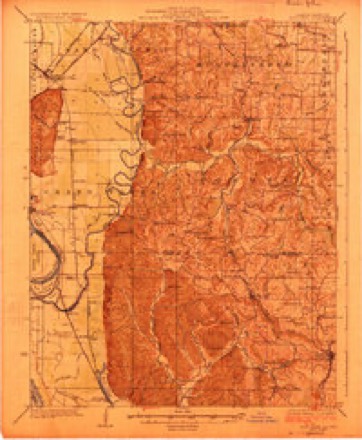
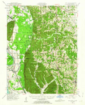
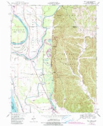
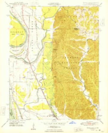
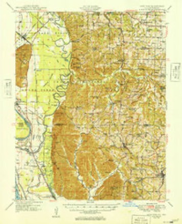
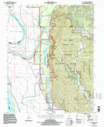
23 topographic sheets cover this place, the earliest surveyed in 1924 and the latest in 1994. It stands in Union precinct. It lies in ZIP code area 62998. The Survey maps it on the Wolf Lake quadrangle. It stands 354 feet above sea level.
Topographic sheets covering this place
14 surveys from 23 printed sheetsMatched by testing this settlement's coordinate against the published boundary of every sheet in the United States Geological Survey's historical collection. Each opens the scanned sheet at the Survey.
- 1924 USGS Alto Pass quadrangle1:62500, 2 printings
- 1947 USGS Alto Pass quadrangle1:62500, 2 printings
- 1947 USGS Wolf Lake quadrangle1:24000, 3 printings
- 1948 USGS Wolf Lake quadrangle1:24000, 2 printings
- 1949 USGS Alto Pass quadrangle1:62500
- 1949 USGS Paducah quadrangle1:250000, 2 printings
- 1950 USGS Paducah quadrangle1:250000
- 1954 USGS Paducah quadrangle1:250000, 2 printings
- 1961 USGS Paducah quadrangle1:250000, 2 printings
- 1964 USGS Paducah quadrangle1:250000, 2 printings
- 1984 USGS Carbondale quadrangle1:100000
- 1986 USGS Carbondale quadrangle1:100000
- 1987 USGS Paducah quadrangle1:250000
- 1994 USGS Wolf Lake quadrangle1:24000






Fires near this place
32 since 1994Regional context, not property-specific evidence. The federal wildfire occurrence database lists 32 fires within 5 miles of Wolf Lake between 1994 and 2020, burning about 99 acres in total. 1 started naturally. 8 were recorded as arson. Distance is straight-line from the map coordinates, so a fire counted here may appear on a neighbouring settlement's page as well.
| Reported cause | Fires |
|---|---|
| Debris and open burning | 13 |
| Arson/incendiarism | 8 |
| Missing data/not specified/undetermined | 6 |
| Recreation and ceremony | 3 |
| Natural | 1 |
| Equipment and vehicle use | 1 |
The most recent of them, most recent first, with the day each was reported and the service that recorded it.
| Date | Cause | Size | Reported by | Name on the report |
|---|---|---|---|---|
| 30 September 2002 | Debris and open burning | 2.5 acres | Shawnee National Forest | SNAG PATCH 1 |
| 30 September 2002 | Debris and open burning | 7.5 acres | Shawnee National Forest | HALFMOON ISLAND |
| 16 September 2017 | Debris and open burning | under an acre | Shawnee National Forest | SADDLE HILL |
| 8 July 2008 | Arson/incendiarism | under an acre | Shawnee National Forest | PINE HILLS CAMP GROU |
| 20 July 2011 | Debris and open burning | under an acre | Shawnee National Forest | PINE HILLS RD |
| 14 July 2003 | Missing data/not specified/undetermined | 3.0 acres | Shawnee National Forest | FESCUE FIRE |
| 24 May 1994 | Arson/incendiarism | 1.0 acres | Shawnee National Forest | not named |
| 7 April 2017 | Natural | 1.0 acres | Missouri Department of Conservation | not named |
Settlements close enough to share some of these fires:
Mines and quarries near this place
5 within 5 milesRegional context, not property-specific evidence. The federal mineral resources record lists 5 workings within 5 miles of Wolf Lake: 3 past producers, 1 producer, 1 occurrence. 1 still produces. What was taken out: Stone, Crushed/Broken, Sand and Gravel, Construction. Distance is straight-line from the map coordinates, so a quarry counted here may appear on a neighbouring settlement's page as well.
| Where | Site | Commodity | Status | Recorded |
|---|---|---|---|---|
| Shawnee High Interest Sand & Gravel Deposit | Sand and Gravel, Construction | Occurrence | Sand and Gravel | |
| Unknown S&G | Sand and Gravel, Construction | Past Producer | ||
| Neelys Landing Quarry and Plant | Stone, Crushed/Broken | Producer | ||
| Unknown Ls | Stone, Crushed/Broken | Past Producer | ||
| Unknown Ls | Stone, Crushed/Broken | Past Producer |
Storms near this place
12 since 2008Regional context, not property-specific evidence. The National Weather Service names Wolf Lake in 12 storm reports between 2008 and 2022: 5 flood, 3 tornado, 2 thunderstorm wind, 2 flash flood. No death or injury is recorded in these reports. Each account below is quoted exactly as the forecast office filed it, from the NOAA Storm Events Database, and each date opens the federal record of that event.
| When | Event | Place named | Harm | What the report says |
|---|---|---|---|---|
| January 2016 | Flood | Wolf Lake | $700,000 | Mississippi River levels continued their climb from December, and record or near-record flooding occurred early in the month. There are no river gages in Union County, but there is a gage at Thebes in nearby Alexander County. At the Thebes river gage, the river crested at a new record of 47.74 feet on the 2nd. Backwater from the Mississippi River contributed to flooding of Clear Creek and other tributaries, which affected isolated homes. Some residents were isolated by the floodwaters. Sandbagging operations were conducted to protect water wells and to reinforce levees. The National Guard was activated to assist with the sandbagging. A number of residents voluntarily evacuated. Most of the monetary flood damage was to public infrastructure, such as roads and levees. All access roads to the Mississippi River levees were closed. |
| April 2011 | Flash Flood | Wolf Lake | $250,000 | Three small bridges were washed out. The bridges were on secondary roads off Highway 127, Highway 146, and Highway 51. Numerous roads were underwater or impassable across the county, including Illinois Route 146 near Ware. Several families were evacuated from their houses. Flash flooding of Clear Creek closed a local road. The Jonesboro community center was damaged by water. |
| May 2009 | Thunderstorm Wind | Wolf Lake | $250,000 | Northwest parts of the county were struck hardest by very strong winds associated with the comma head of a bow echo. Widespread tree and power line damage occurred. The most intense destruction was in the Wolf Lake and Alto Pass areas. About 25 homes sustained damage in the county. Power outages were widespread. Numerous trees were snapped along Illinois Route 127, mainly north of Anna. The highway was closed while fire and highway personnel worked to clear it. A large tree fell in Anna, taking down power lines and a couple utility poles. |
| May 2018 | Tornado (EF1) | Wolf Lake | $70,000 | A storm survey team estimated peak winds up to 95 mph occurred with this tornado, which touched down along the Mississippi River levee. The tornado passed near the community of Wolf Lake before dissipating at the edge of the Shawnee National Forest just east of Route 3. A very large equipment barn collapsed, and another barn was destroyed. A one-story house was partially shifted off its foundation. All structural damage was between Route 3 and the Mississippi River levee. The tornado was witnessed by at least one trained spotter and several other individuals. Prior to spawning this tornado, the parent storm produced a tornado near Trail of Tears State Park in Cape Girardeau County, Missouri about ten minutes earlier. |
| May 2011 | Flood | Wolf Lake | $70,000 | Major flooding continued on the Mississippi River from April. Based on data from a nearby river gage in Alexander County, the flood crest of 2011 was the second highest crest on record. All access roads to the Mississippi River levees were closed. Some residents were isolated by the floodwaters, and one school district cancelled classes. Backwater from the Mississippi River contributed to flooding of Clear Creek, which affected at least one home. Sandbagging operations were conducted to protect water wells in the Clear Creek area, and to reinforce levees. The National Guard was activated to assist with the sandbagging. |
| August 2016 | Flash Flood | Wolf Lake | $25,000 | Just north of Alto Pass, a small bridge across Cave Creek was washed out. The bridge was on a dead-end street off Highway 127. Road crews were dispatched to several flooded roads around the area. A 24-hour rainfall amount of 7.9 inches was reported at Cobden, and just over 5 inches fell at Wolf Lake within 8 hours. |
| July 2019 | Flood | Wolf Lake | $20,000 | The extended major flood on the Mississippi River gradually ended by late July. Flood-fighting efforts in the Ware and Wolf Lake areas were completed after water receded away from weakened levees. Low-lying woods, farmland, and county roads remained underwater early in the month. More detailed damage assessments began after the river fell within its banks late in the month. |
| January 2008 | Tornado (EF1) | Wolf Lake | $10,000 | The tornado crossed the Mississippi River from Cape Girardeau County, Missouri. During its short path in Union County, a large grain bin was blown onto a road. Numerous shingles were blown off a farm house. A couple of trees were uprooted. The average path width was 50 yards. Peak winds were estimated near 95 mph. |
| May 2018 | Tornado (EF0) | Wolf Lake | $7,000 | Peak winds were estimated by a National Weather Service survey team near 75 mph. This weak tornado occurred in close proximity to another tornado about a mile north. Several tree limbs were broken. The roof of a barn was blown in on one side. This tornado also occurred near the Mississippi River between Route 3 and the levee. Prior to spawning this tornado, the parent storm produced a tornado near Trail of Tears State Park in Cape Girardeau County, Missouri about ten minutes earlier. |
| July 2022 | Thunderstorm Wind | Wolf Lake | $1,000 | A ten-inch, twenty-foot long tree limb was blown onto a garage. |
| May 2017 | Flood | Wolf Lake | - | Major flooding occurred along the Mississippi River early in the month. There was extensive flooding of low-lying agricultural land, as well as county roads in the flood plain. |
| June 2011 | Flood | Wolf Lake | - | The Mississippi River flooding in June was relatively minor compared to the April and May flooding. Many low-lying fields remained flooded. Standing water was observed on both sides of Route 3 in many areas. The Mississippi River remained too high to raise any of the locks and gates along the levees. As a result, the water from recent heavy rains as well as lingering floodwater from May remained trapped inland. |
Nearest settlements
The eight closest, with where each one stands in the county. Distances are straight-line, computed from the Geographic Names Information System coordinates.
| Map | Place | Distance | Sheets |
|---|---|---|---|
| La Rue | 3.0 miles | 23 | |
| Bennett Landing | 3.8 miles | 23 | |
| Aldridge | 4.1 miles | 23 | |
| Halsey | 4.4 miles | 23 | |
| Ware | 4.5 miles | 25 | |
| Union Point | 4.7 miles | 26 | |
| Hamburg Landing | 6.9 miles | 25 | |
| Pottsville | 7.1 miles | 24 |
Elsewhere
Matched on this settlement's Geographic Names Information System number rather than its name, so it cannot be a different place of the same name in another state.
| Wikipedia article on Wolf Lake | An encyclopaedic summary. Its text is share-alike, so it is linked here rather than copied. |
| Wikidata item Q8029857 | The structured record the population and elevation above come from. Public domain (CC0). |
Provenance
This settlement is recorded in the Geographic Names Information System as feature 421392. The sheet list is computed by point-in-boundary test against the United States Geological Survey's historical topographic inventory. Both are works of the United States government and carry no copyright under 17 U.S.C. 105.
Wildfire. Short, Karen C. 2022. Spatial wildfire occurrence data for the United States, 1992-2020 [FPA_FOD_20221014]. 6th Edition. Fort Collins, CO: Forest Service Research Data Archive. https://doi.org/10.2737/RDS-2013-0009.6 Collected with United States Government funding and usable without additional permissions or fees.
Mines and quarries. USGS Mineral Resources Data System (MRDS) https://mrdata.usgs.gov/mrds/ A work of the United States government, no copyright under 17 U.S.C. 105.
Storms. NOAA National Centers for Environmental Information, Storm Events Database https://www.ncei.noaa.gov/stormevents/ A work of the United States government, no copyright under 17 U.S.C. 105. Narratives are quoted verbatim from the National Weather Service report and are not edited or summarised.