 Block
Warrenville, Illinois
20 topographic sheets cover this place, the earliest surveyed in 1908 and the latest in 1998. It stands in Winfield Township. It lies in ZIP code area 60555. It stands on Spring Brook. The Survey maps it on the Naperville quadrangle. 13,553 people lived here at the 2020 count. It stands 699 feet above sea level.
Population over time
2 figuresWarrenville grew from 13,140 to 13,553 between 2010 and 2020. These are the recorded population figures Wikidata holds for this place, reached through the Geographic Names Information System number this page is keyed on rather than by name, so they belong to this place and not to another of the same name. Most are census counts, but not all are: an early figure may be a founding or settlement estimate, and an estimate published within five years of a census is left out. The change column is computed, and is left blank where more than 20 years separate a figure from the one before it, because a gap that long is not a change between two counts.
| Year | People | Change |
|---|---|---|
| 2010 | 13,140 | |
| 2020 | 13,553 | +413 (+3%) |
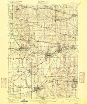
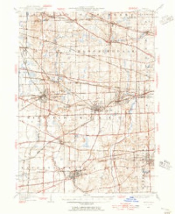
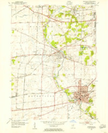
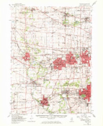
Topographic sheets covering this place
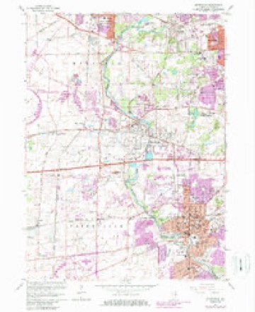
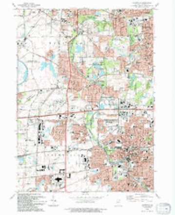
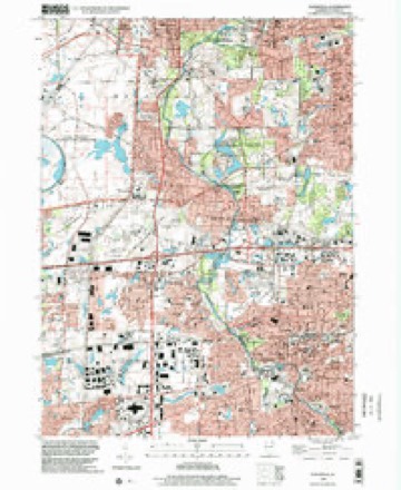
10 surveys from 20 printed sheetsMatched by testing this settlement's coordinate against the published boundary of every sheet in the United States Geological Survey's historical collection. Each opens the scanned sheet at the Survey.
- 1908 USGS Wheaton quadrangle1:62500, 5 printings
- 1948 USGS Wheaton quadrangle1:62500
- 1953 USGS Naperville quadrangle1:24000
- 1954 USGS Wheaton quadrangle1:62500, 2 printings
- 1958 USGS Aurora quadrangle1:250000, 3 printings
- 1961 USGS Aurora quadrangle1:250000
- 1962 USGS Naperville quadrangle1:24000, 4 printings
- 1985 USGS Aurora quadrangle1:100000
- 1993 USGS Naperville quadrangle1:24000
- 1998 USGS Naperville quadrangle1:24000



In the county-history sources
2,392 words on this townshipHistory Of Dupage County (1857), published 1857 names this settlement in its chapter on Winfield Township. These are the passages that mention it, exactly as the scans read.
The first efforts toward establishing a religious organization in Winfield were commenced at this place by a few members of the Du Page Baptist church, as early as 1834. February 4th, 1836, preparatory measures were taken to organize a society. Ata meeting held at that time, after some discussion, the following preamble and resolutions were adopted: " Whereas, in the providence of God, we are located in this part of God's moral vineyard, and at a considerable distance from our mother church, or any other church of the same faith and order: J?esolved, That we organize ourselves into a regular Baptist church, to be located at Warrenville, and to be called the Second Du Page Baptist church: Jeesolved, That we send letters to sister churches, inviting them to send their pastors and deacons, for the purpose of giving us fellowship as a sister church."
Passage source: History Of Dupage County (1857), published 1857.
On the 23d of February the society met at Warrenville for the purpose of organizing, and the following churches were represented: First Baptist church of Chicago, by Elder J. T. Hinton and Deacon Jonson ; First Church of Du Page, by Elder A. B. Hubbard and Judge Wilson.
Passage source: History Of Dupage County (1857), published 1857.
Several ministers took a deep interest at an early day in this branch of Zion. Among them was Elder Ashley, whose name is embalmed in the hearts of the pious in this part of the Lord's vineyard: He was with this church through several precious revivals, and was the means, in the hand of God, of bringing many from darkness to light. The first pastor of this society was Elder L. B. King. He has been succeeded by Elders A. B. Hubbard, Joel Wheeler, A. J. Joslyn, A. Taylor, Joel Wheeler, 8. F. Holt, Freeman, and H. Westcott, the present pastor, who recently came to this state from New Jersey. The society worshipped in a private house for some time in its early history, there being no school house in or about Warrenville, in which to hold its meetings. The first school house built here was occupied by the church until the old church building was purchased of Col. Warren and fitted up for the use of the society. A large and handsome church edifice is now in process of erection. The corner stone was laid July 22d, 1857. The ceremonies were conducted by Rev. Dr. Howard and Rey. Mr. Boyd, of Chicago; Rev. Mr. Raymond and Rev. Mr. Estee, of Aurora; Rev. J. H. Worrell, of Bloomingdale; Rev. E. Barker, of Naperville; and Rev. H. Westcott, pastor. The house is 35 feet by 66, surmounted with a beautiful spire. The cost of building, including bell and fixtures, is estimated at between four and five thousand dollars. Connected with this church are a Sabbath school of fifty scholars, and two interesting bible classes. There are now belonging to this church fifty members.
Passage source: History Of Dupage County (1857), published 1857.
Machine-read from a century-old scan, so expect the errors a machine makes: misspelled names, dropped words, stray characters.
Read the whole chapter on Winfield Township - it names this place 1 more 1 time.
Mines and quarries near this place
7 within 5 milesRegional context, not property-specific evidence. The federal mineral resources record lists 7 workings within 5 miles of Warrenville: 4 past producers, 2 producers, 1 plant. 3 still produce. What was taken out: Stone, Sand and Gravel, Construction, Stone, Crushed/Broken, Vermiculite. Distance is straight-line from the map coordinates, so a quarry counted here may appear on a neighbouring settlement's page as well.
| Where | Site | Commodity | Status | Recorded |
|---|---|---|---|---|
| Unnamed Limestone Quarry | Stone, Crushed/Broken | Past Producer | ||
| Zonolite Chicago Plant | Vermiculite | Plant | ||
| M M Erb Gravel Pit | Sand and Gravel, Construction | Producer | ||
| Warrenville Plant & Pit | Sand and Gravel, Construction | Producer | ||
| Dupage City Hwy. Dept. Pit | Stone | Past Producer | ||
| Naperville City Eng. Pit | Stone | Past Producer | ||
| Wheaton City Pit | Stone | Past Producer |
Storms near this place
20 since 2005Regional context, not property-specific evidence. The National Weather Service names Warrenville in 20 storm reports between 2005 and 2025: 13 thunderstorm wind, 3 hail, 2 flood, 1 lightning. The reports record 3 injuries. Each account below is quoted exactly as the forecast office filed it, from the NOAA Storm Events Database, and each date opens the federal record of that event.
| When | Event | Place named | Harm | What the report says |
|---|---|---|---|---|
| June 2014 | Lightning | Warrenville | 3 hurt, $500,000 | Lightning struck a home on Seneca Drive in unincorporated Wheaton sparking a fire and causing extensive damage. It is believed that a second lightning strike hit near an aerial truck that three fire fighters were working on causing minor injuries to the fire fighters who were treated and released from the hospital a few hours later. |
| August 2018 | Thunderstorm Wind | Warrenville | $10,000 | Numerous power lines were blown down across western and southern Du Page County, some with tree limbs on them. |
| October 2010 | Thunderstorm Wind | Warrenville | $10,000 | Several south lobby windows of the Nicor office on Ferry Road were blown in. |
| July 2025 | Thunderstorm Wind | Warrenville | - | A photo showed a tree 6 to 8 inches in diameter that was snapped. |
| July 2024 | Thunderstorm Wind | Warrenville | - | Numerous large tree limbs were blown down along Warrenville Road. Additional trees were uprooted and some other trees were snapped. |
| March 2023 | Thunderstorm Wind | Warrenville | - | A two foot diameter tree was blown down and was blocking River Rd at Townline Rd. Wind magnitude and time were estimated based on radar. |
| July 2023 | Hail | Warrenville | - | A report of 1.25 hail was received out of Warrenville via mPING. |
| July 2022 | Thunderstorm Wind | Warrenville | - | A large tree limb was snapped. |
| August 2022 | Thunderstorm Wind | Warrenville | - | Small tree limbs 2 inches in diameter were blown down near Butterfield Road and Route 59. A tree limb 4 to 5 inches in diameter was snapped off a small tree. |
| July 2021 | Thunderstorm Wind | Warrenville | - | A large tree limb was snapped off of a tree. |
| August 2020 | Thunderstorm Wind | Warrenville | - | Tree limbs up to 6 inches in diameter were blown down all over Warrenville. |
| May 2019 | Heavy Rain | Warrenville | - | Rainfall of 1.90 inches was reported in about one hour. |
| May 2019 | Flood | Warrenville | - | Ferry Road was closed in Warrenville due to flooding. |
| July 2011 | Thunderstorm Wind | Warrenville | - | Wind gusts were estimated between 60 and 70 mph. |
| June 2008 | Thunderstorm Wind | Warrenville | - | A tree was blown down onto a house near Warren Avenue and Warrenville Road. |
| June 2008 | Thunderstorm Wind | Warrenville | - | Trees were blown down citywide in Warrenville. |
| March 2007 | Thunderstorm Wind | Warrenville | - | Tree limbs blown down. |
| August 2007 | Flood | Warrenville | - | Several roads with water knee deep in spots. |
| May 2014 | Hail | Warrenville | - | no account filed |
| October 2005 | Hail | Warrenville | - | no account filed |
Nearest settlements
The eight closest, with where each one stands in the county. Distances are straight-line, computed from the Geographic Names Information System coordinates.
| Map | Place | Distance | Sheets |
|---|---|---|---|
| Warrenhurst | 2.2 miles | 20 | |
| Naperville | 2.6 miles | 20 | |
| Winfield | 3.1 miles | 20 | |
| Batavia Junction | 3.9 miles | 20 | |
| Jewell Road | 4.5 miles | 20 | |
| Eola | 4.6 miles | 20 | |
| Wheaton | 4.8 miles | 21 | |
| West Chicago | 4.9 miles | 20 |
Elsewhere
Matched on this settlement's Geographic Names Information System number rather than its name, so it cannot be a different place of the same name in another state.
| Wikipedia article on Warrenville | An encyclopaedic summary. Its text is share-alike, so it is linked here rather than copied. |
| Wikidata item Q576023 | The structured record the population and elevation above come from. Public domain (CC0). |
Provenance
This settlement is recorded in the Geographic Names Information System as feature 422132. The sheet list is computed by point-in-boundary test against the United States Geological Survey's historical topographic inventory. Both are works of the United States government and carry no copyright under 17 U.S.C. 105.
Mines and quarries. USGS Mineral Resources Data System (MRDS) https://mrdata.usgs.gov/mrds/ A work of the United States government, no copyright under 17 U.S.C. 105.
Storms. NOAA National Centers for Environmental Information, Storm Events Database https://www.ncei.noaa.gov/stormevents/ A work of the United States government, no copyright under 17 U.S.C. 105. Narratives are quoted verbatim from the National Weather Service report and are not edited or summarised.