 Block
Winfield, Illinois
20 topographic sheets cover this place, the earliest surveyed in 1908 and the latest in 1998. It stands in Winfield Township. It lies in ZIP code area 60190. The Survey maps it on the Naperville quadrangle. 9,835 people lived here at the 2020 count. It stands 771 feet above sea level.
On record in Winfield
Buildings and businesses the archive holds for this place. Each opens its own page, with the source record it came from.
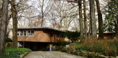
On the National Register 1 record
Population over time
3 figuresWinfield grew from 8,718 to 9,835 between 2000 and 2020. These are the recorded population figures Wikidata holds for this place, reached through the Geographic Names Information System number this page is keyed on rather than by name, so they belong to this place and not to another of the same name. Most are census counts, but not all are: an early figure may be a founding or settlement estimate, and an estimate published within five years of a census is left out. The change column is computed, and is left blank where more than 20 years separate a figure from the one before it, because a gap that long is not a change between two counts.
| Year | People | Change |
|---|---|---|
| 2000 | 8,718 | |
| 2010 | 9,080 | +362 (+4%) |
| 2020 | 9,835 | +755 (+8%) |
Topographic sheets covering this place
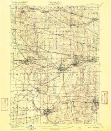
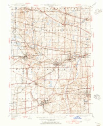
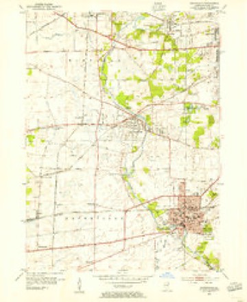
10 surveys from 20 printed sheetsMatched by testing this settlement's coordinate against the published boundary of every sheet in the United States Geological Survey's historical collection. Each opens the scanned sheet at the Survey.
- 1908 USGS Wheaton quadrangle1:62500, 5 printings
- 1948 USGS Wheaton quadrangle1:62500
- 1953 USGS Naperville quadrangle1:24000
- 1954 USGS Wheaton quadrangle1:62500, 2 printings
- 1958 USGS Aurora quadrangle1:250000, 3 printings
- 1961 USGS Aurora quadrangle1:250000
- 1962 USGS Naperville quadrangle1:24000, 4 printings
- 1985 USGS Aurora quadrangle1:100000
- 1993 USGS Naperville quadrangle1:24000
- 1998 USGS Naperville quadrangle1:24000



In the county-history sources
2,392 words on this townshipHistory Of Dupage County (1857), published 1857 names this settlement in its chapter on Winfield Township. These are the passages that mention it, exactly as the scans read.
The first efforts toward establishing a religious organization in Winfield were commenced at this place by a few members of the Du Page Baptist church, as early as 1834. February 4th, 1836, preparatory measures were taken to organize a society. Ata meeting held at that time, after some discussion, the following preamble and resolutions were adopted: " Whereas, in the providence of God, we are located in this part of God's moral vineyard, and at a considerable distance from our mother church, or any other church of the same faith and order: J?esolved, That we organize ourselves into a regular Baptist church, to be located at Warrenville, and to be called the Second Du Page Baptist church: Jeesolved, That we send letters to sister churches, inviting them to send their pastors and deacons, for the purpose of giving us fellowship as a sister church."
Passage source: History Of Dupage County (1857), published 1857.
There are 10 and 68-100 miles of railroad in this town, on which the villages of Winfield, or Fredericksburg, and Turner are situated. The first building at Winfield was erected by John Hodges, in 1849, and occupied for several years as the depot of the G. & C. U. Railroad. This station is the nearest point on the railroad to Naperville, and hence its freight business is large. A greater amount of tonnage is sent from this place than from any other station in the county. The present station house was built in 1854. There are in the place three stores, an extensive lumber yard, owned by Mr. John Collins, several manufactories, and a brewery.
Passage source: History Of Dupage County (1857), published 1857.
Machine-read from a century-old scan, so expect the errors a machine makes: misspelled names, dropped words, stray characters.
Read the whole chapter on Winfield Township - it names this place 3 more 3 times.
Mines and quarries near this place
5 within 5 milesRegional context, not property-specific evidence. The federal mineral resources record lists 5 workings within 5 miles of Winfield: 2 producers, 2 past producers, 1 plant. 3 still produce. What was taken out: Sand and Gravel, Construction, Stone, Vermiculite. Distance is straight-line from the map coordinates, so a quarry counted here may appear on a neighbouring settlement's page as well.
| Where | Site | Commodity | Status | Recorded |
|---|---|---|---|---|
| Zonolite Chicago Plant | Vermiculite | Plant | ||
| Dupage City Hwy. Dept. Pit | Stone | Past Producer | ||
| M M Erb Gravel Pit | Sand and Gravel, Construction | Producer | ||
| Warrenville Plant & Pit | Sand and Gravel, Construction | Producer | ||
| Wheaton City Pit | Stone | Past Producer |
Storms near this place
16 since 2003Regional context, not property-specific evidence. The National Weather Service names Winfield in 16 storm reports between 2003 and 2026: 8 thunderstorm wind, 6 hail, 1 tornado, 1 flood. The reports record 1 death. Each account below is quoted exactly as the forecast office filed it, from the NOAA Storm Events Database, and each date opens the federal record of that event.
| When | Event | Place named | Harm | What the report says |
|---|---|---|---|---|
| May 2020 | Flood | Winfield | 1 killed | An 18 year old woman attempted to cross a flooded pedestrian bridge in the Winfield Mounds Forest Preserve and was swept away. A witness said water from the West Branch DuPage River was waist deep over the bridge. The woman's body was found several days later. |
| July 2012 | Thunderstorm Wind | Winfield | $25,000 | Trees were blown down and roofs were damaged. Wind gusts were estimated to 90 mph. |
| August 2007 | Thunderstorm Wind | Winfield | $25,000 | Damage to a loading dock and parking garage eaves at Central Dupage Hospital. |
| August 2007 | Tornado (EF1) | Winfield | $15,000 | A tornado touched down near Prince Crossing Road south of Geneva Road in Winfield. The tornado had a path length of 2.67 miles and a path width of 300 to 500 yards. The tornado lifted just west of Gary Avenue south of Geneva Road. The main damage from the tornado included several large uprooted hardwood trees. Shingles and power lines were also blown down. |
| April 2026 | Thunderstorm Wind | Winfield | - | An 8 inch tree branch was downed near Winfield. |
| July 2023 | Hail | Winfield | - | Hail approximately 1.5 in diameter was reported out of Winfield via Cocorahs. It was remarked that the hail was putting dents in cars. |
| July 2023 | Hail | Winfield | - | A report of 1.75 inch hail came from just west of Central DuPage Hospital in Winfield. Time was estimated using radar. |
| August 2021 | Thunderstorm Wind | Winfield | - | Part of a large tree was snapped at its base. |
| July 2011 | Thunderstorm Wind | Winfield | - | Winds were estimated to 60 mph. |
| July 2007 | Thunderstorm Wind | Winfield | - | A 10 inch diameter tree limb was blown down. |
| August 2007 | Thunderstorm Wind | Winfield | - | A 50 foot Douglas Fir tree had the top 25 feet sheared off which landed on a neighbors roof. |
| October 2005 | Hail | Winfield | - | Nickel size hail was reported one mile north of County Farm Road and Roosevelt Road. |
| May 2019 | Hail | Winfield | - | no account filed |
| May 2006 | Hail | Winfield | - | no account filed |
| May 2003 | Thunderstorm Wind | Winfield | - | no account filed |
| May 2003 | Hail | Winfield | - | no account filed |
Nearest settlements
The eight closest, with where each one stands in the county. Distances are straight-line, computed from the Geographic Names Information System coordinates.
| Map | Place | Distance | Sheets |
|---|---|---|---|
| Jewell Road | 1.7 miles | 20 | |
| Geneva Road | 1.9 miles | 20 | |
| West Chicago | 2.8 miles | 20 | |
| Wheaton | 2.9 miles | 21 | |
| Warrenville | 3.1 miles | 20 | |
| Prince Crossing | 3.2 miles | 20 | |
| Carol Stream | 3.8 miles | 20 | |
| Ingalton | 3.8 miles | 20 |
Elsewhere
Matched on this settlement's Geographic Names Information System number rather than its name, so it cannot be a different place of the same name in another state.
| Wikipedia article on Winfield | An encyclopaedic summary. Its text is share-alike, so it is linked here rather than copied. |
| Wikidata item Q2485575 | The structured record the population and elevation above come from. Public domain (CC0). |
Provenance
This settlement is recorded in the Geographic Names Information System as feature 422165. The sheet list is computed by point-in-boundary test against the United States Geological Survey's historical topographic inventory. Both are works of the United States government and carry no copyright under 17 U.S.C. 105.
Mines and quarries. USGS Mineral Resources Data System (MRDS) https://mrdata.usgs.gov/mrds/ A work of the United States government, no copyright under 17 U.S.C. 105.
Storms. NOAA National Centers for Environmental Information, Storm Events Database https://www.ncei.noaa.gov/stormevents/ A work of the United States government, no copyright under 17 U.S.C. 105. Narratives are quoted verbatim from the National Weather Service report and are not edited or summarised.