 Block
West Kankakee, Illinois
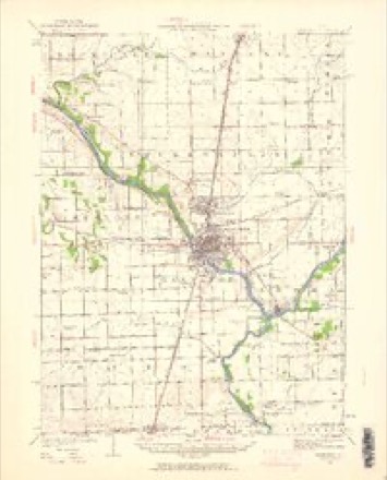
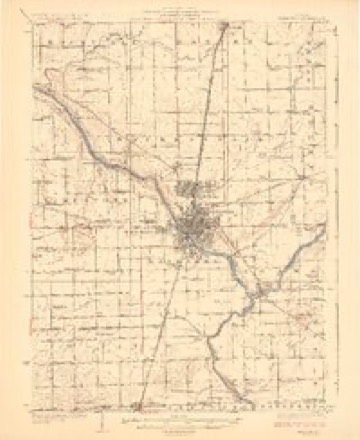
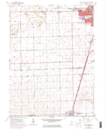
15 topographic sheets cover this place, the earliest surveyed in 1922 and the latest in 1991. It stands in Kankakee Township. It lies in ZIP code area 60901. The Survey maps it on the West Kankakee quadrangle.
Topographic sheets covering this place
7 surveys from 15 printed sheetsMatched by testing this settlement's coordinate against the published boundary of every sheet in the United States Geological Survey's historical collection. Each opens the scanned sheet at the Survey.
- 1922 USGS Kankakee quadrangle1:62500, 2 printings
- 1924 USGS Kankakee quadrangle1:62500, 2 printings
- 1953 USGS Chicago quadrangle1:250000, 5 printings
- 1957 USGS Chicago quadrangle1:250000
- 1964 USGS West Kankakee quadrangle1:24000, 3 printings
- 1984 USGS Kankakee quadrangle1:100000
- 1991 USGS Kankakee quadrangle1:100000

Fires near this place
58 since 2008Regional context, not property-specific evidence. The federal wildfire occurrence database lists 58 fires within 5 miles of West Kankakee between 2008 and 2020, burning about 65 acres in total. None started naturally. None was recorded as arson. Distance is straight-line from the map coordinates, so a fire counted here may appear on a neighbouring settlement's page as well.
| Reported cause | Fires |
|---|---|
| Missing data/not specified/undetermined | 42 |
| Debris and open burning | 14 |
| Equipment and vehicle use | 1 |
| Fireworks | 1 |
The most recent of them, most recent first, with the day each was reported and the service that recorded it.
| Date | Cause | Size | Reported by | Name on the report |
|---|---|---|---|---|
| 30 September 2018 | Missing data/not specified/undetermined | under an acre | Illinois Division of Forestry Resources | 18-4632 |
| 29 September 2010 | Equipment and vehicle use | 5.0 acres | Illinois Division of Forestry Resources | COGNIS |
| 18 September 2012 | Debris and open burning | 2.0 acres | Illinois Division of Forestry Resources | MITCHELL |
| 16 September 2018 | Missing data/not specified/undetermined | under an acre | Illinois Division of Forestry Resources | 18-4382 |
| 13 September 2010 | Missing data/not specified/undetermined | under an acre | Illinois Division of Forestry Resources | 101811 |
| 1 September 2020 | Missing data/not specified/undetermined | under an acre | Illinois Division of Forestry Resources | 20-0004144 |
| 6 August 2019 | Missing data/not specified/undetermined | under an acre | Illinois Division of Forestry Resources | 2019-1883 |
| 6 August 2012 | Debris and open burning | 2.0 acres | Illinois Division of Forestry Resources | POND |
Settlements close enough to share some of these fires:
Mines and quarries near this place
10 within 5 milesRegional context, not property-specific evidence. The federal mineral resources record lists 10 workings within 5 miles of West Kankakee: 9 past producers, 1 producer. 1 still produces. What was taken out: Sand and Gravel, Construction, Clay, Stone, Crushed/Broken, Stone. Distance is straight-line from the map coordinates, so a quarry counted here may appear on a neighbouring settlement's page as well.
| Where | Site | Commodity | Status | Recorded |
|---|---|---|---|---|
| Kankakee Highway Pit No. 1 | Stone | Past Producer | ||
| Kankakee Pit | Clay | Past Producer | ||
| Lehigh East Quarry | Stone, Crushed/Broken | Past Producer | ||
| Azzarelli Pit 3 | Sand and Gravel, Construction | Past Producer | ||
| Azzarelli Pit No.2 | Sand and Gravel, Construction | Past Producer | ||
| Blend Sand Pit | Sand and Gravel, Construction | Past Producer | ||
| Grasso and Son Pit | Sand and Gravel, Construction | Past Producer | ||
| Havener Sand Pit | Sand and Gravel, Construction | Producer | ||
| Ohrt Rd. Sand Pit | Sand and Gravel, Construction | Past Producer | ||
| Route 113 Gravel Pit Azzarell: | Sand and Gravel, Construction | Past Producer |
Storms near this place
12 since 2008Regional context, not property-specific evidence. The National Weather Service names West Kankakee in 12 storm reports between 2008 and 2026: 7 thunderstorm wind, 4 hail, 1 lightning. No death or injury is recorded in these reports. Each account below is quoted exactly as the forecast office filed it, from the NOAA Storm Events Database, and each date opens the federal record of that event.
| When | Event | Place named | Harm | What the report says |
|---|---|---|---|---|
| May 2011 | Thunderstorm Wind | West Kankakee | $250,000 | Trees were blown down on Cobb Street. A 12 to 16 inch diameter tree was uprooted and fell onto a car. The driver was not injured. Three large trees were blown down on Main Street near the hospital, along with many large tree limbs. Tree limbs and power lines were blown down across much of the city of Kankakee. A large tree was uprooted and fell onto a house on Nelson Avenue causing severe damage to the first and second floors of the house. Several large tree limbs were blown onto a house on South Seventh Avenue. |
| August 2008 | Thunderstorm Wind | West Kankakee | $100,000 | Extensive wind damage occurred across southern parts of the City of Kankakee. The damage began along West Jeffery Street and extended east of the Cobb Park area. Many roads were impassable across these locations due to downed trees. Several very large trees were uprooted and power lines were blown down. One very large tree landed on the roof of a home across the western portion of the main area of damage. About two dozen of the city's oldest trees in Cobb Park were damaged. A car was crushed and destroyed by a falling tree on South Wildwood Avenue. A tree limb was thrown through the windshield of a second car and a third car was damaged on South Greenwood Avenue. Wind gusts were estimated between 80 and 100 mph. |
| May 2011 | Thunderstorm Wind | West Kankakee | $5,000 | On the west side of Kankakee, several 4 to 6 inch diameter tree branches were reported down. A ten inch diameter tree was down in Small Memorial Park. A large branch fell onto a van on West Hawkins Street. |
| June 2008 | Lightning | West Kankakee | $5,000 | A house was struck by lightning on Wiley Ridge Road and suffered minor damage. |
| March 2026 | Hail | West Kankakee | - | A hailstone measuring 6.6 inches in diameter (168.05 mm to be precise) was found along Calista St on the west side of Kankakee. Faculty from Northern Illinois University partnered with the Insurance Institute for Business and Home Safety to verify the dimensions of the stone. It weighed in at 557.2 grams, or 19.65 ounces. As of this writing, the hailstone is being considered for the official Illinois state record. |
| August 2022 | Thunderstorm Wind | West Kankakee | - | Twenty five large trees were blown down across Small Memorial Park. |
| August 2022 | Thunderstorm Wind | West Kankakee | - | A light pole was bent and several tree limbs 3 to 6 inches in diameter were blown down. Winds were estimated to 65 mph. |
| September 2021 | Thunderstorm Wind | West Kankakee | - | A tree limb 6 to 12 inches in diameter was blown down. |
| August 2020 | Thunderstorm Wind | West Kankakee | - | Numerous trees were blown down and uprooted in Kankakee. Tree limbs and power lines were also blown down. Many trees fell onto roofs and garages causing damage. The hardest hit areas were on the west side of Kankakee and the Riverview neighborhood where streets were blocked by the fallen trees. |
| May 2011 | Hail | West Kankakee | - | Up to walnut size hail was reported across portions of Bradley and Kankakee as a line of thunderstorms moved through. Specific reports include penny size hail at the intersection of Grinnell Road and Interstate 57, and nickel size hail at the intersection of West Station Street and South Curtis Avenue. Walnut size hail was reported at North Street and Illinois Route 50. |
| March 2025 | Hail | West Kankakee | - | no account filed |
| March 2023 | Hail | West Kankakee | - | no account filed |
Nearest settlements
The eight closest, with where each one stands in the county. Distances are straight-line, computed from the Geographic Names Information System coordinates.
| Map | Place | Distance | Sheets |
|---|---|---|---|
| Kankakee | 1.4 miles | 14 | |
| Greenwich | 2.1 miles | 15 | |
| Bradley | 2.2 miles | 15 | |
| Bourbonnais | 2.6 miles | 15 | |
| Hillside Manor | 3.2 miles | 15 | |
| Limestone | 4.4 miles | 15 | |
| Aroma Park | 4.9 miles | 14 | |
| Otto | 4.9 miles | 15 |
Elsewhere
Matched on this settlement's Geographic Names Information System number rather than its name, so it cannot be a different place of the same name in another state.
| Wikidata item Q6166913 | The structured record the population and elevation above come from. Public domain (CC0). |
Provenance
This settlement is recorded in the Geographic Names Information System as feature 420861. The sheet list is computed by point-in-boundary test against the United States Geological Survey's historical topographic inventory. Both are works of the United States government and carry no copyright under 17 U.S.C. 105.
Wildfire. Short, Karen C. 2022. Spatial wildfire occurrence data for the United States, 1992-2020 [FPA_FOD_20221014]. 6th Edition. Fort Collins, CO: Forest Service Research Data Archive. https://doi.org/10.2737/RDS-2013-0009.6 Collected with United States Government funding and usable without additional permissions or fees.
Mines and quarries. USGS Mineral Resources Data System (MRDS) https://mrdata.usgs.gov/mrds/ A work of the United States government, no copyright under 17 U.S.C. 105.
Storms. NOAA National Centers for Environmental Information, Storm Events Database https://www.ncei.noaa.gov/stormevents/ A work of the United States government, no copyright under 17 U.S.C. 105. Narratives are quoted verbatim from the National Weather Service report and are not edited or summarised.