 Block
Westfield, Illinois
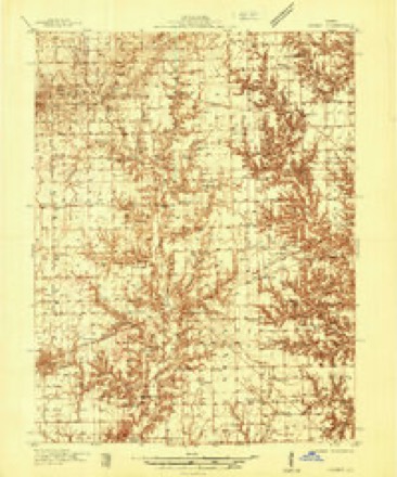
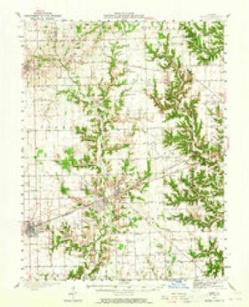
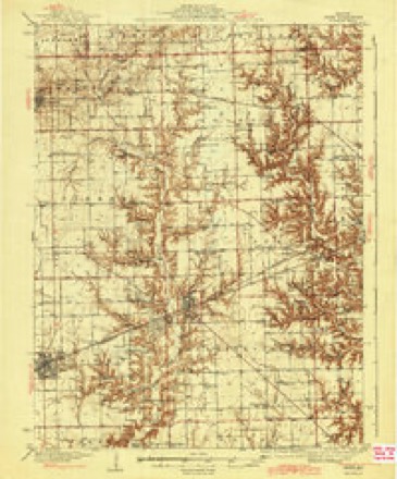
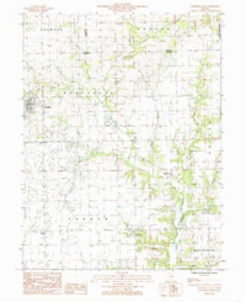
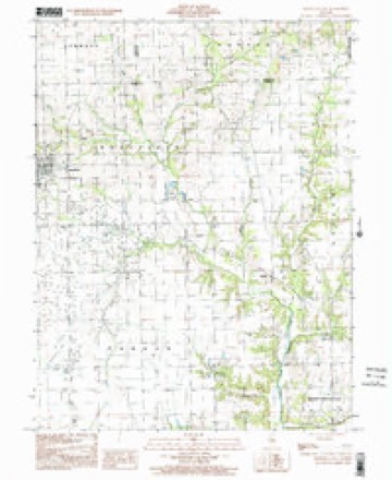
17 topographic sheets cover this place, the earliest surveyed in 1936 and the latest in 1998. It stands in Westfield Township. It lies in ZIP code area 62474. It stands on Mill Creek. The Survey maps it on the Westfield East quadrangle.
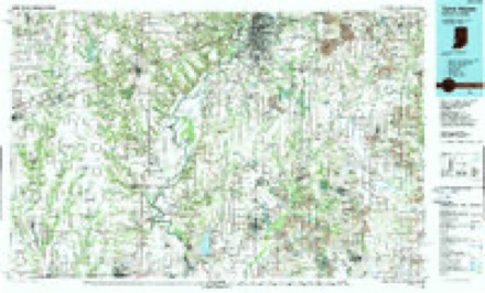
Topographic sheets covering this place
10 surveys from 17 printed sheetsMatched by testing this settlement's coordinate against the published boundary of every sheet in the United States Geological Survey's historical collection. Each opens the scanned sheet at the Survey.
- 1936 USGS Casey quadrangle1:48000
- 1942 USGS Casey quadrangle1:62500, 2 printings
- 1943 USGS Casey quadrangle1:62500, 2 printings
- 1953 USGS Indianapolis quadrangle1:250000, 4 printings
- 1956 USGS Indianapolis quadrangle1:250000
- 1957 USGS Indianapolis quadrangle1:250000, 2 printings
- 1962 USGS Indianapolis quadrangle1:250000
- 1984 USGS Westfield East quadrangle1:24000
- 1986 USGS Terre Haute quadrangle1:100000, 2 printings
- 1998 USGS Westfield East quadrangle1:24000




Fires near this place
1 since 2007Regional context, not property-specific evidence. The federal wildfire occurrence database lists 1 fire within 5 miles of Westfield in 2007, burning under an acre in total. None started naturally. None was recorded as arson. Distance is straight-line from the map coordinates, so a fire counted here may appear on a neighbouring settlement's page as well.
| Reported cause | Fires |
|---|---|
| Missing data/not specified/undetermined | 1 |
The most recent of them, most recent first, with the day each was reported and the service that recorded it.
| Date | Cause | Size | Reported by | Name on the report |
|---|---|---|---|---|
| 5 August 2007 | Missing data/not specified/undetermined | under an acre | Illinois Division of Forestry Resources | not named |
Settlements close enough to share some of these fires:
Mines and quarries near this place
1 within 5 milesRegional context, not property-specific evidence. The federal mineral resources record lists 1 working within 5 miles of Westfield: 1 producer. All of them still produce. What was taken out: Sand and Gravel, Construction. Distance is straight-line from the map coordinates, so a quarry counted here may appear on a neighbouring settlement's page as well.
| Where | Site | Commodity | Status | Recorded |
|---|---|---|---|---|
| Rennels Pit | Sand and Gravel, Construction | Producer |
Storms near this place
21 since 1997Regional context, not property-specific evidence. The National Weather Service names Westfield in 21 storm reports between 1997 and 2026: 7 flash flood, 5 hail, 5 flood, 3 thunderstorm wind. No death or injury is recorded in these reports. Each account below is quoted exactly as the forecast office filed it, from the NOAA Storm Events Database, and each date opens the federal record of that event.
| When | Event | Place named | Harm | What the report says |
|---|---|---|---|---|
| June 2013 | Flash Flood | Westfield | $2,000,000 | Periods of showers and thunderstorms which produced up to 4.00 inches of rain from June 25th into the morning of June 26th saturated the ground and swelled area creeks in northern Clark County. A round of thunderstorms during the afternoon of June 26th rapidly produced an additional 3.00 to 5.00 inches of rain resulting in widespread flash flooding. Most roads were flooded in the northern part of the county, and one road washed out about 5 miles north of Marshall. U.S. Highway 40 and State Route 1 were closed at times. Several homes and businesses in the city of Marshall suffered flood damage. The widespread flooding did not subside until late in the morning on June 27th. |
| June 2008 | Flood | Westfield | $500,000 | Copious amounts of rain, ranging from 9 to 11 inches fell across Clark County, mainly on June 6th. Nearly 100 homes were damaged by the flooding, and every county road was under water. Interstate 70 was closed from late in the evening on the 6th through much of the day on the 7th due to the flooding. Clark County was declared a disaster area due to the extensive flooding. |
| June 1999 | Tornado (F0) | Westfield | $350,000 | A tornado touched down 4 miles southeast of Westfield. It destroyed 3 machine sheds, a barn, and several trees. The nearby house did not sustain any damage. As it travelled to the northeast, another farm was hit. Two sheds, a brooder house, and half a barn were destroyed. The house sustained major damage with a large hole in the roof and almost every window was shattered. Debris was found up to two miles away. The house was shifted on its foundation which caused the concrete porch to split in half. A 2x4 flew through the house and was embedded into a wall. The tornado then lifted and dissipated 3 miles west of Clarksville. No injuries were reported and damage was estimated around $350,000. |
| May 2018 | Thunderstorm Wind | Westfield | $42,000 | Several power poles were blown down along IL-49 south of Westfield. |
| June 2008 | Thunderstorm Wind | Westfield | $15,000 | Several tree limbs and power lines were blown down. |
| April 1997 | Thunderstorm Wind | Westfield | $7,800 | Thunderstorm winds blew down numerous trees and power lines in Westfield. Two trees fell onto homes causing minor damage. Also, the winds damaged the roof of a mobile home. No injuries were reported but damage was estimated around $7,800. |
| January 2020 | Flood | Westfield | - | Weather observers measured 3 to 6 inches of rain across Clark County...including 4.93 in Casey. Numerous creeks and streams flowed out of their banks, flooding low-lying spots across the county. |
| May 2017 | Flood | Westfield | - | Heavy rainfall around 2.00 inches during the morning hours of May 4th, on already saturated ground, resulted in flash flooding across most of Clark County. Officials reported that most roads were impassable and numerous creeks rapidly flooded. Nearly all of the rural roads north of I-70 were closed, particularly along the Edgar County line. Additional rainfall around 1.00 to 1.50 inches later in the day May 4th into May 5th caused creeks and roads to stay flooded for nearly 48 hours. Flood waters subsided by the afternoon on May 6th. |
| May 2017 | Flash Flood | Westfield | - | Heavy rainfall around 2.00 inches during the early morning hours of May 4th, on already saturated ground, resulted in flash flooding across most of Clark County. Officials reported that most roads were impassable and numerous creeks rapidly flooded. Nearly all of the rural roads north of I-70 were closed, particularly along the Edgar County line. |
| May 2017 | Flood | Westfield | - | Rain amounts of 3.00 to 5.00 inches in about a two hour period during the evening hours, on already saturated ground, resulted in flash flooding across most of Clark County. Several streets in Casey and Marshall were impassable. Numerous rural roads and highways in the county were inundated, particularly in central and northern Clark County. Many creeks in the Embarras River basin were flooded, one of which over-topped a bridge in Martinsville. An additional 1.00 inch of rain occurred on April 30th, keeping many roads and creeks flooded. As a result, areal flooding continued until the late morning hours of May 1st. |
| April 2017 | Flash Flood | Westfield | - | Rain amounts of 3.00 to 5.00 inches in about a two hour period during the evening hours, on already saturated ground, resulted in flash flooding across most of Clark County. Several streets in Casey and Marshall were impassable. Numerous rural roads and highways in the county were inundated, particularly in central and northern Clark County. Many creeks in the Embarras River basin were flooded, one of which over-topped a bridge in Martinsville. |
| April 2017 | Flood | Westfield | - | Rain amounts of 3.00 to 5.00 inches in about a two hour period during the evening hours, on already saturated ground, resulted in flash flooding across most of Clark County. Several streets in Casey and Marshall were impassable. Numerous rural roads and highways in the county were inundated, particularly in central and northern Clark County. Many creeks in the Embarras River basin were flooded, one of which over-topped a bridge in Martinsville. An additional 1.00 inch of rain occurred on April 30th, keeping many roads and creeks flooded. As a result, areal flooding continued until the late morning hours of May 1st. |
| April 2011 | Flash Flood | Westfield | - | Several thunderstorms produced heavy rainfall with totals of 2.50 to 4.00 inches in less than four hours in northern Clark County. Numerous roads in Marshall and Martinsville, as well as outlying rural areas were flooded. Several locations along I-70 had standing water. |
| June 2011 | Flash Flood | Westfield | - | Thunderstorms with heavy rainfall produced 2.50 to 4.00 of rain in northern Clark County during the pre-dawn hours of June 27th. Several rural roads were flooded and impassable as a result of the rainfall accumulations. Streets were also flooded in Marshall, and standing water was reported along parts of I-70, U.S. Highway 40 and Illinois Routes 1, and 49 in northern Clark County. |
| July 2011 | Flash Flood | Westfield | - | Heavy rainfall amounts of 2.50 to 4.00 inches during the evening hours of July 29th produced flash flooding in extreme northwest Clark County. Many rural roads south of Westfield were impassable due to the accumulated water. |
| May 2009 | Flash Flood | Westfield | - | Heavy rain of 2.00 to 3.00 inches within two hours produced significant flash flooding of most roads across Clark County. Many rural roads were closed to traffic due to high water. |
| March 2026 | Hail | Westfield | - | no account filed |
| May 2018 | Hail | Westfield | - | no account filed |
| March 2012 | Hail | Westfield | - | no account filed |
| March 2012 | Hail | Westfield | - | no account filed |
| June 1997 | Hail | Westfield | - | no account filed |
Nearest settlements
The eight closest, with where each one stands in the county. Distances are straight-line, computed from the Geographic Names Information System coordinates.
| Map | Place | Distance | Sheets |
|---|---|---|---|
| Oilfield | 4.3 miles | 17 | |
| Cleone | 5.2 miles | 17 | |
| Doyles | 6.7 miles | 17 | |
| Martinsville | 10.3 miles | 17 | |
| Clarksville | 10.5 miles | 17 | |
| Cumberland | 10.6 miles | 17 | |
| Casey | 10.8 miles | 17 | |
| Adenmoor | 12.3 miles | 17 |
Provenance
This settlement is recorded in the Geographic Names Information System as feature 420960. The sheet list is computed by point-in-boundary test against the United States Geological Survey's historical topographic inventory. Both are works of the United States government and carry no copyright under 17 U.S.C. 105.
Wildfire. Short, Karen C. 2022. Spatial wildfire occurrence data for the United States, 1992-2020 [FPA_FOD_20221014]. 6th Edition. Fort Collins, CO: Forest Service Research Data Archive. https://doi.org/10.2737/RDS-2013-0009.6 Collected with United States Government funding and usable without additional permissions or fees.
Mines and quarries. USGS Mineral Resources Data System (MRDS) https://mrdata.usgs.gov/mrds/ A work of the United States government, no copyright under 17 U.S.C. 105.
Storms. NOAA National Centers for Environmental Information, Storm Events Database https://www.ncei.noaa.gov/stormevents/ A work of the United States government, no copyright under 17 U.S.C. 105. Narratives are quoted verbatim from the National Weather Service report and are not edited or summarised.