 Block
Shobonier, Illinois
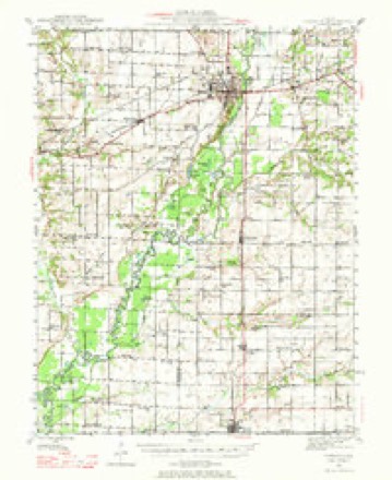
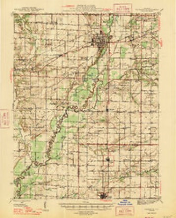
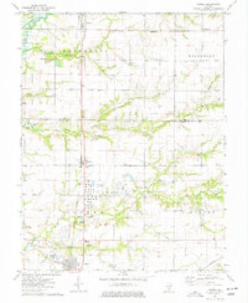
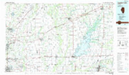
10 topographic sheets cover this place, the earliest surveyed in 1945 and the latest in 1985. It stands in Kaskaskia Township. It lies in ZIP code area 62885. The Survey maps it on the Patoka quadrangle. It stands 515 feet above sea level.
Topographic sheets covering this place
6 surveys from 10 printed sheetsMatched by testing this settlement's coordinate against the published boundary of every sheet in the United States Geological Survey's historical collection. Each opens the scanned sheet at the Survey.
- 1945 USGS Vandalia quadrangle1:62500
- 1947 USGS Vandalia quadrangle1:62500
- 1958 USGS Belleville quadrangle1:250000, 3 printings
- 1962 USGS Belleville quadrangle1:250000
- 1974 USGS Patoka quadrangle1:24000, 2 printings
- 1985 USGS Carlyle Lake quadrangle1:100000, 2 printings


In the county-history sources
1,552 words on this townshipHistory of Fayette County, Illinois, published 1878 has no passage naming this settlement, which was common for smaller places. Its township is covered in full.
The chapter on Kaskaskia Township covers the township.
Read the chapter on Kaskaskia Township - 1,552 words.
Storms near this place
16 since 1996Regional context, not property-specific evidence. The National Weather Service names Shobonier in 16 storm reports between 1996 and 2026: 6 hail, 6 thunderstorm wind, 3 tornado, 1 flash flood. No death or injury is recorded in these reports. Each account below is quoted exactly as the forecast office filed it, from the NOAA Storm Events Database, and each date opens the federal record of that event.
| When | Event | Place named | Harm | What the report says |
|---|---|---|---|---|
| April 1996 | Tornado (F1) | Shobonier | $75,000 | no account filed |
| April 2025 | Tornado (EF2) | Shobonier | $50,000 | Shortly before 7pm, the tornado formed just south of County Road 750 in Fayette County, southeast of Shobonier, damaging trees and structures at a farm. The tornado tracked northeastward through fields and pockets of trees before impacting farms along County Rd 1100. Shortly after this point, the tornado reached its maximum surveyed strength, where it leveled an outbuilding near the intersection of County Rd 1100 and E 900 Ave. The tornado continued northeastward, producing mainly tree damage and minor structural damage before dissipating shortly after crossing County Rd 1300 north of Augsburg. The tornado was rated EF-2 with a path length of 4.33 miles and a maximum path width of 150 yards. |
| July 2023 | Thunderstorm Wind | Shobonier | - | A large tree was blown down onto a power line. |
| August 2012 | Thunderstorm Wind | Shobonier | - | Thunderstorm winds blew down several large trees around Shobonier. |
| June 2009 | Flash Flood | Shobonier | - | Several inches of rain fell in a short amount of time causing flash flooding. Several feet of water was flowing over a couple of roads in the St. Peter area making them impassable. |
| May 2004 | Tornado (F0) | Shobonier | - | An off duty NWS employee reported a brief tornado on the east side of Carlyle Lake. |
| April 2003 | Hail | Shobonier | - | Local law enforcement reported 1 inch hail southwest of Shobonier. |
| August 2001 | Thunderstorm Wind | Shobonier | - | An off duty NWS meteorologist reported power poles and large trees down north of Shobonier. |
| April 2000 | Hail | Shobonier | - | 3/4 inch hail was reported by the public. |
| August 2000 | Hail | Shobonier | - | The public reported quarter size hail. |
| February 2026 | Hail | Shobonier | - | no account filed |
| April 2018 | Hail | Shobonier | - | no account filed |
| August 2005 | Thunderstorm Wind | Shobonier | - | no account filed |
| May 2004 | Thunderstorm Wind | Shobonier | - | no account filed |
| May 2004 | Thunderstorm Wind | Shobonier | - | no account filed |
| March 1997 | Hail | Shobonier | - | no account filed |
Nearest settlements
The eight closest, with where each one stands in the county. Distances are straight-line, computed from the Geographic Names Information System coordinates.
| Map | Place | Distance | Sheets |
|---|---|---|---|
| Augsburg | 4.0 miles | 10 | |
| Pinhook (historical) | 4.0 miles | 9 | |
| Vandalia | 6.3 miles | 9 | |
| Pittsburg | 6.5 miles | 10 | |
| Hagarstown | 6.6 miles | 9 | |
| Bluff City | 6.9 miles | 9 | |
| Saint Paul | 7.3 miles | 11 | |
| Wilberton | 7.3 miles | 11 |
Elsewhere
Matched on this settlement's Geographic Names Information System number rather than its name, so it cannot be a different place of the same name in another state.
| Wikipedia article on Shobonier | An encyclopaedic summary. Its text is share-alike, so it is linked here rather than copied. |
| Wikidata item Q7499806 | The structured record the population and elevation above come from. Public domain (CC0). |
Provenance
This settlement is recorded in the Geographic Names Information System as feature 418447. The sheet list is computed by point-in-boundary test against the United States Geological Survey's historical topographic inventory. Both are works of the United States government and carry no copyright under 17 U.S.C. 105.
Storms. NOAA National Centers for Environmental Information, Storm Events Database https://www.ncei.noaa.gov/stormevents/ A work of the United States government, no copyright under 17 U.S.C. 105. Narratives are quoted verbatim from the National Weather Service report and are not edited or summarised.