 Block
Willard, Illinois
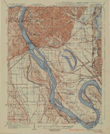
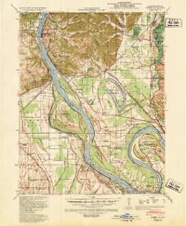
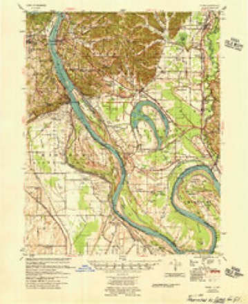
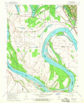
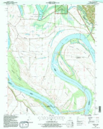
21 topographic sheets cover this place, the earliest surveyed in 1934 and the latest in 1993. It stands in Cache precinct. It lies in ZIP code area 62962. The Survey maps it on the Cache quadrangle. It stands 322 feet above sea level.
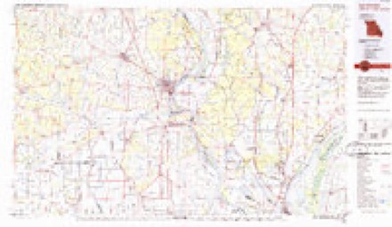
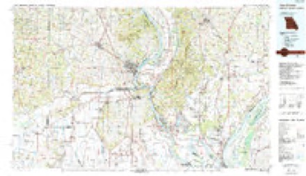
Topographic sheets covering this place
13 surveys from 21 printed sheetsMatched by testing this settlement's coordinate against the published boundary of every sheet in the United States Geological Survey's historical collection. Each opens the scanned sheet at the Survey.
- 1934 USGS Thebes quadrangle1:62500, 4 printings
- 1939 USGS Thebes quadrangle1:62500
- 1949 USGS Paducah quadrangle1:250000, 2 printings
- 1950 USGS Paducah quadrangle1:250000
- 1954 USGS Paducah quadrangle1:250000, 2 printings
- 1955 USGS Thebes quadrangle1:62500
- 1961 USGS Paducah quadrangle1:250000, 2 printings
- 1964 USGS Paducah quadrangle1:250000, 2 printings
- 1967 USGS Cache quadrangle1:24000, 2 printings
- 1984 USGS Cape Girardeau quadrangle1:100000
- 1986 USGS Cape Girardeau quadrangle1:100000
- 1987 USGS Paducah quadrangle1:250000
- 1993 USGS Cache quadrangle1:24000






Storms near this place
2 since 1999Regional context, not property-specific evidence. The National Weather Service names Willard in 2 storm reports between 1999 and 2003: 1 thunderstorm wind, 1 tornado. The reports record 2 injuries. Each account below is quoted exactly as the forecast office filed it, from the NOAA Storm Events Database, and each date opens the federal record of that event.
| When | Event | Place named | Harm | What the report says |
|---|---|---|---|---|
| May 2003 | Tornado (F2) | Willard | 1 hurt, $300,000 | The tornado formed northwest of Cairo near the Mississippi River. Three tractor-trailer rigs were overturned on the Interstate 57 bridge over the Mississippi River. The tornado tracked through Cairo, damaging dozens of homes and several businesses. One single-family home was destroyed, injuring a child who was cut by flying debris. Of the damaged homes, about four sustained major damage, and the rest had mainly minor damage. |
| May 1999 | Thunderstorm Wind | Willard | 1 hurt, $75,000 | A wood-frame house sustained major damage to its roof and an attached garage. The garage was totally destroyed. A large section of the house's roof was blown off. A woman, who was standing in front of the window when the storm hit, received cuts to an artery in her neck. She was hospitalized overnight. Heavy rain coming through the damaged roof caused extensive water damage. About half a dozen trees were uprooted or snapped. Near the community of Willard, a garage was severely damaged by high winds. The walls of the garage were bowed outward, and the door was caved in. |
Nearest settlements
The eight closest, with where each one stands in the county. Distances are straight-line, computed from the Geographic Names Information System coordinates.
| Map | Place | Distance | Sheets |
|---|---|---|---|
| Miller City | 1.7 miles | 21 | |
| Roth | 2.6 miles | 21 | |
| Tankville | 3.3 miles | 22 | |
| Shasta (historical) | 3.9 miles | 22 | |
| Cache | 4.9 miles | 21 | |
| Olive Branch | 5.7 miles | 22 | |
| Unity | 6.1 miles | 22 | |
| Hodges Park | 6.5 miles | 22 |
Elsewhere
Matched on this settlement's Geographic Names Information System number rather than its name, so it cannot be a different place of the same name in another state.
| Wikipedia article on Willard | An encyclopaedic summary. Its text is share-alike, so it is linked here rather than copied. |
| Wikidata item Q8003351 | The structured record the population and elevation above come from. Public domain (CC0). |
Provenance
This settlement is recorded in the Geographic Names Information System as feature 425639. The sheet list is computed by point-in-boundary test against the United States Geological Survey's historical topographic inventory. Both are works of the United States government and carry no copyright under 17 U.S.C. 105.
Storms. NOAA National Centers for Environmental Information, Storm Events Database https://www.ncei.noaa.gov/stormevents/ A work of the United States government, no copyright under 17 U.S.C. 105. Narratives are quoted verbatim from the National Weather Service report and are not edited or summarised.