 Block
Zenobia, Illinois
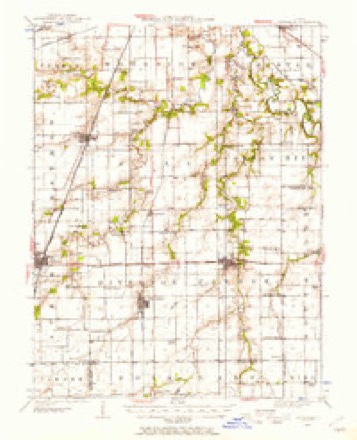
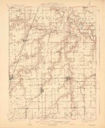
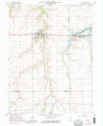
14 topographic sheets cover this place, the earliest surveyed in 1922 and the latest in 1985. It stands in Pawnee Township. It lies in ZIP code area 62558. The Survey maps it on the Pawnee quadrangle.
Topographic sheets covering this place
6 surveys from 14 printed sheetsMatched by testing this settlement's coordinate against the published boundary of every sheet in the United States Geological Survey's historical collection. Each opens the scanned sheet at the Survey.
- 1922 USGS Divernon quadrangle1:62500
- 1924 USGS Divernon quadrangle1:62500, 2 printings
- 1958 USGS Decatur quadrangle1:250000, 3 printings
- 1961 USGS Decatur quadrangle1:250000, 2 printings
- 1964 USGS Pawnee quadrangle1:24000, 4 printings
- 1985 USGS Springfield quadrangle1:100000, 2 printings



In the county-history sources
6,653 words on this townshipHistory of Sangamon County, Illinois; Together with Sketches of Its Cities, Villages and Townships ... Portraits of Prominent Persons, and Biographies of Representative Citizens. History of Illinois, published 1881 has no passage naming this settlement, which was common for smaller places. Its township is covered in full.
The chapter on Pawnee Township covers the township.
Read the chapter on Pawnee Township - 6,653 words.
Storms near this place
2 since 2018Regional context, not property-specific evidence. The National Weather Service names Zenobia in 2 storm reports between 2018 and 2022: 1 flash flood, 1 thunderstorm wind. No death or injury is recorded in these reports. Each account below is quoted exactly as the forecast office filed it, from the NOAA Storm Events Database, and each date opens the federal record of that event.
| When | Event | Place named | Harm | What the report says |
|---|---|---|---|---|
| April 2022 | Thunderstorm Wind | Zenobia | - | Four trees were blown down, including one that fell onto a house. Part of the roof of a tin shed was ripped off, the guttering of another shed was damaged, and a sign was broken. |
| June 2018 | Flash Flood | Zenobia | - | Heavy rainfall rates of 1.00 to 2.00 inches per hour for two to three hours, shortly after Midnight, resulted in flash flooding in central and southeast Sangamon County, including the southern parts of the city of Springfield. Most viaducts in Springfield were flooded and impassable. Several rural roads west of Springfield and in the southeast part of the county along the Christian County line were flooded. The flooding subsided shortly after daybreak. |
Nearest settlements
The eight closest, with where each one stands in the county. Distances are straight-line, computed from the Geographic Names Information System coordinates.
| Map | Place | Distance | Sheets |
|---|---|---|---|
| Pawnee | 5.0 miles | 14 | |
| Commanche Village | 6.4 miles | 14 | |
| Divernon | 7.0 miles | 13 | |
| Pawnee Junction | 7.3 miles | 13 | |
| Cimic | 7.7 miles | 13 | |
| Glenarm | 9.0 miles | 13 | |
| New City | 9.8 miles | 14 | |
| Cascade | 10.0 miles | 12 |
Provenance
This settlement is recorded in the Geographic Names Information System as feature 423347. The sheet list is computed by point-in-boundary test against the United States Geological Survey's historical topographic inventory. Both are works of the United States government and carry no copyright under 17 U.S.C. 105.
Storms. NOAA National Centers for Environmental Information, Storm Events Database https://www.ncei.noaa.gov/stormevents/ A work of the United States government, no copyright under 17 U.S.C. 105. Narratives are quoted verbatim from the National Weather Service report and are not edited or summarised.