BlockBefore
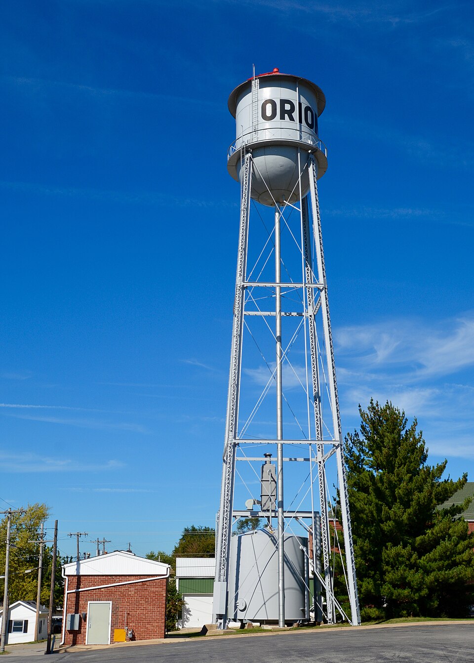
Photograph of West Water Tower and Ground Storage Tank
Photograph by Boscophotos, CC BY-SA 3.0. Via Wikimedia Commons.

West Water Tower and Ground Storage Tank

Built in 1928. Listed on the National Register of Historic Places in 2003.

From the record

“The West Water Tower and Ground Storage Tank are a historic water tower and storage tank located at 310 11th Avenue in Orion, Illinois. The tower and tank were built in 1928 as part of the village's new water system, which had been approved the previous year.”

Wikipedia article West Water Tower and Ground Storage Tank, CC BY-SA 4.0.

One of 16 National Register listings published here for Henry County · listed in 2003 · category: Structure · built in 1928.

Sources: the Wikipedia article · the case file at the National Archives · the National Register database, National Park Service

The listing

  • What is counted as historic. The nomination lists 1 building, 1 structure as contributing to the listing.
  • Address. 310 11th Ave., Orion, 61273
  • When was it listed? February 2003
  • Category. structure
  • Township. Western township
  • When was it built? 1928
  • National Register reference number. 02001754 - the number the National Park Service assigned this property when it was listed, and the key its nomination file is catalogued under at the National Archives.

The ground it stands on

9,011 words

The chapter on Western Township in History of Henry County, Illinois : It's Taxpayers and Voters; Containing Also, a Biographical Directory, a Condensed History of the State; Map of the County; a Business Directory...etc, published 1877 names Orion. This is what it says, exactly as the scans read.

HUSTOX THOS. W. Farmer. Sec. 17; P.O. Orion; born in Dearborn Co. Ind. April 17, 1823; came to this county in 1852; Rep; Universalist; owns 130 acres of land. val. $7,500, also 120 acres in Mo.; son of Joseph Huston, who emigrated from N. H. to Ohio in 1811, and enlisted in the war of 1812, as drummer-boy, under Capt. Gest; name of wife was Mary A. Horham, of Dearborn Co. Ind., born March 20, 1826; married Sept. 14 1843, whose father was also in the war of 1812, and was taken prisoner, but escaped, and then emigrated in 1815 to Ind. from Vt.; Mr. Huston has six children: Polly E., born July I, 1844; Indiana, born Jan. 28, 1848; Dearborn, born Nov. 28, 1849; Olive, born May 18, 1851; Mary A., born June 24, 1855; and Delila A. born Dec. 19, 1866. V

Passage source: History of Henry County, Illinois : It's Taxpayers and Voters; Containing Also, a Biographical Directory, a Condensed History of the State; Map of the County; a Business Directory...etc, published 1877.

SNIDER DAVID T. Farmer, Sec. 31; P.O. Orion; born in Virginia, Dec. 25, 1835; came to 111. in 1866; Rep; Meth; owns 242 aares, value $16,000; son of James C. whose grandfather was captured by the Indians, when a small boy, and held by them about four years, and when regained by his parents could only remember the name of a mountain near by his father's house, and his book with the letter O in it; name of wife was Hannah Ramsey, daughter of Ira Ramsey, of Monongalia County, W. Virginia, born Nov. 25, 1841, married March 4, 1860; three children, James Ira, born Jan. 31, 1861; Emery, born Nov. 25, 1864, and Luther, born July 25, 1867.

Passage source: History of Henry County, Illinois : It's Taxpayers and Voters; Containing Also, a Biographical Directory, a Condensed History of the State; Map of the County; a Business Directory...etc, published 1877.

Machine-read from a century-old scan, so expect the errors a machine makes: misspelled names, dropped words, stray characters.

Read the whole chapter on Western Township - 9,011 words on its settlement, mills, schools and churches.

Mines and quarries near this property

1 within 5 miles

Regional context, not property-specific evidence. The federal mineral resources record lists 1 working within 5 miles of West Water Tower and Ground Storage Tank: 1 producer. All of them still produce. What was taken out: Sand and Gravel, Construction. Distance is straight-line from the map coordinates, so a quarry counted here may appear on a neighbouring settlement's page as well.

Where SiteCommodity StatusRecorded
Orlo Woodcock PitSand and Gravel, ConstructionProducer

Every working recorded in Henry County

Storms near this property

25 since 1996

Regional context, not property-specific evidence. The National Weather Service names Orion, the town this property stands in, in 25 storm reports between 1996 and 2024: 13 thunderstorm wind, 9 hail, 2 flash flood, 1 tornado. No death or injury is recorded in these reports. Each account below is quoted exactly as the forecast office filed it, from the NOAA Storm Events Database, and each date opens the federal record of that event.

WhenEvent Place namedHarm What the report says
October 2000Thunderstorm WindOrion$50,000Strong winds downed numerous trees, several grain bins and a corn crib along a path from Orion to Atkinson.
May 2004Flash FloodOrion$5,000Camp creek flooded out the bridge on County Line Road with 2 feet of water
July 2010Thunderstorm WindOrion$1,000Wind gusts estimated to be 60 mph ripped some shingles off of a residence about 2 miles southwest of Orion, IL around 405 pm CDT July 23.
October 2024HailOrion-A trained spotter reported lots of dime size hail along with a couple of stones that were the size of quarters.
May 2024Thunderstorm WindOrion-A 3 inch maple branch and 4 inch cherry branch was blown off healthy trees. The time is based on radar data.
June 2024Thunderstorm WindOrion-Several large tree branches downed throughout town by the thunderstorm winds.
June 2024Thunderstorm WindOrion-Several reports of large tree branches downed by thunderstorm winds.
June 2024Thunderstorm WindOrion-Large tree and powerlines downed by winds.
April 2024HailOrion-A trained spotter reported nickel to quarter size hail.
April 2023HailOrion-A public photo of golf ball sized hail. The report was relayed via broadcast media.
April 2023HailOrion-A trained spotter reported mostly quarter size hail but a few stones were up to 3.0 inches in diameter. The time of the event was estimated using radar.
June 2018Thunderstorm WindOrion-Numerous trees were blown down at a residence, blocking the driveway. The cement anchored flag pole was bent over by the wind.
July 2016Thunderstorm WindOrion-The local law enforcement reported trees down.
July 2015Flash FloodOrion-The Route 150 road was closed about 1.5 miles south of Orion Illinois due to flash flooding.
April 2014HailOrion-A trained spotter reported dime to quarter sized hail. Time of the event was estimated using radar.
June 2014Thunderstorm WindOrion-A trained spotter reported tree limbs of 6 to 8 inches in diameter blown down.
March 2006Thunderstorm WindOrion-Estimated 70 mph
May 2003HailOrion-Location 3.0 E of Coal Valley
April 1999Thunderstorm WindOrion-Thunderstorm winds blew down a metal pole building, several power poles and a dozen hog houses.
May 1998Thunderstorm WindOrion-Thunderstorm winds knocked down tree limbs and power lines across Western Henry county,
June 1997Thunderstorm WindOrion-Power lines downed.
April 2024HailOrion-no account filed
May 2000Tornado (F0)Orion-no account filed
February 1996HailOrion-no account filed

Every storm recorded in Henry County

Map coverage status

No historic map-sheet match is published for this property yet. That does not mean no map exists. This record needs a coordinate-quality review before it can be joined to a sheet boundary. Browse the county's mapped places while that work is pending.

Listed places nearby

4 within 8 miles

Other National Register properties close enough to walk or drive between, ordered by distance from this one. Both positions come from the same geocoding pass that matched these properties to their map sheets.

Photograph PropertyDistance Listed
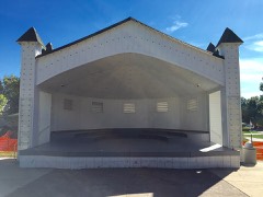
Music Pavilionunder 500 feet2002
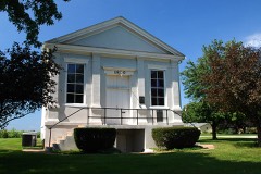
Jenny Lind Chapel6.1 miles1975
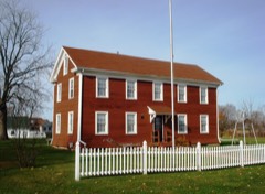
August and Margaretha Rehnstrom House6.2 miles2008
Andover Chapter House6.2 miles1980

Sources for this property

National Archives recordThe nomination case file for reference 02001754 in Record Group 79.
Wikipedia articleCommunity-written account of this property, licensed CC BY-SA.
Henry CountyAll 16 listed properties in this county.

Provenance

  • Listing record. National Park Service National Register of Historic Places, listed-properties dataset, current to 2026-05-22.
  • Map join. Address geocoded through the United States Census geocoder, then tested against the published boundary of every sheet in the USGS Historical Topographic Map Collection.
  • How this page is made. Listing fields come from federal records; map-sheet coverage is a labelled coordinate-to-boundary calculation, not a source-field claim.
  • Mines and quarries. USGS Mineral Resources Data System (MRDS) https://mrdata.usgs.gov/mrds/ A work of the United States government, no copyright under 17 U.S.C. 105.
  • Storms. NOAA National Centers for Environmental Information, Storm Events Database https://www.ncei.noaa.gov/stormevents/ A work of the United States government, no copyright under 17 U.S.C. 105. Narratives are quoted verbatim from the National Weather Service report and are not edited or summarised.