BlockBefore
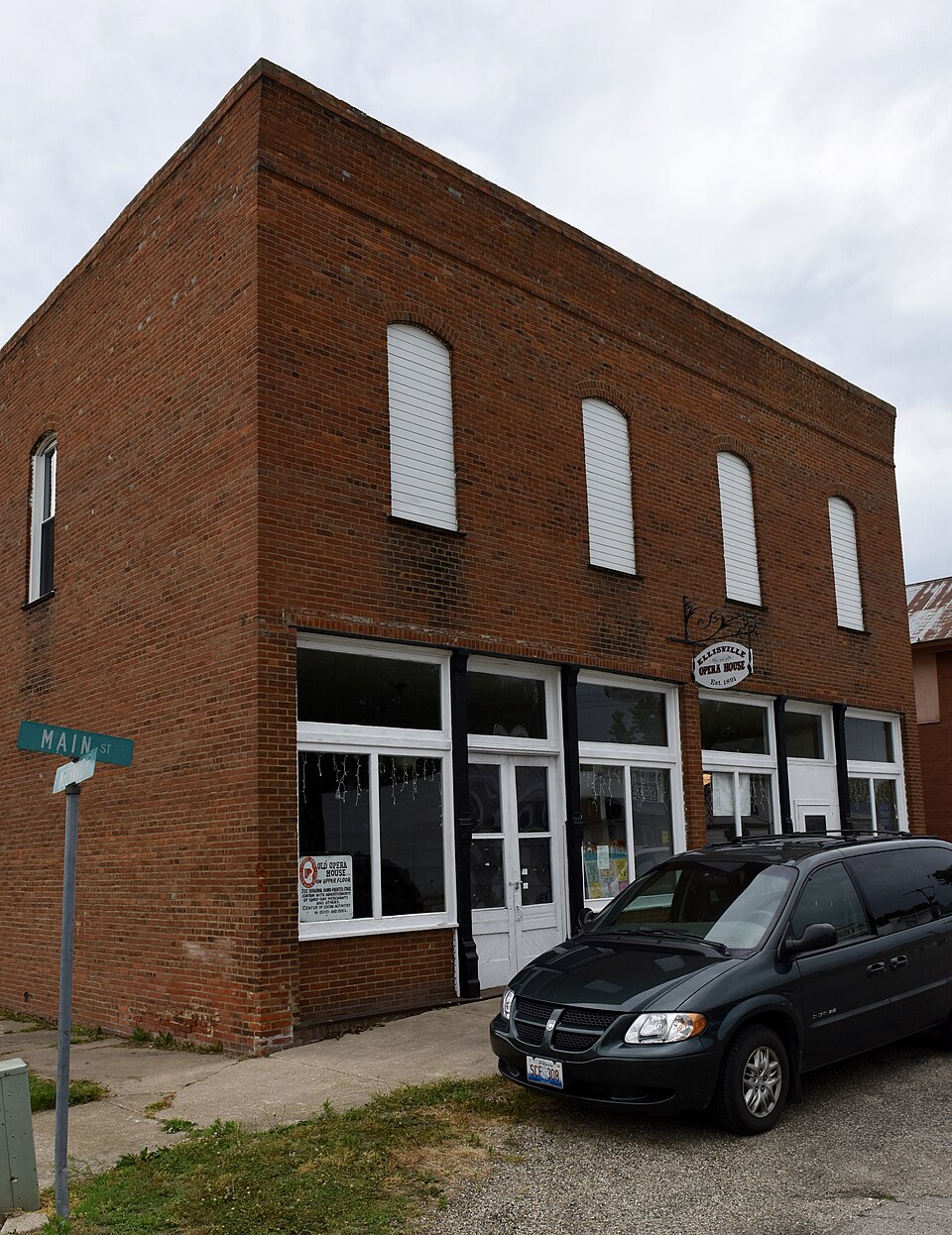
Photograph of Odd Fellows Opera Block
Photograph by Jim Roberts, CC BY-SA 4.0. Via Wikimedia Commons.

Odd Fellows Opera Block

Listed on the National Register of Historic Places in 1996.

From the record

“The Odd Fellows Opera Block is a historic theatre located at the southwestern corner of the intersection of Main and Mechanic Streets in Ellisville, Illinois. The Spoon River #78 Lodge of the Independent Order of Odd Fellows built the opera house in 1891.”

Wikipedia article Odd Fellows Opera Block, CC BY-SA 4.0.

One of 38 National Register listings published here for Fulton County · listed in 1996 · category: Building.

Sources: the Wikipedia article · the case file at the National Archives · the National Register database, National Park Service
The listing

  • What is counted as historic. The nomination lists 1 building as contributing to the listing.
  • Address. Jct. of Main and Mechanic Sts., SW corner, Ellisville, 61431
  • When was it listed? August 1996
  • Category. building
  • Township. Ellisville township
  • National Register reference number. 96000876 - the number the National Park Service assigned this property when it was listed, and the key its nomination file is catalogued under at the National Archives.

The ground it stands on

3,719 words

The chapter on Ellisville Township in History of Fulton County, Illinois;, published 1879 names Ellisville. This is what it says, exactly as the scans read.

The life of Levi D. Ellis, the founder of the village of Ellisville, is so completely interwoven with the history of this township that we deem a short personal sketch of him important in this connection. He was born in South Carolina in the year 1789, and a half-orphan, his father having died before his birth. At the age of thirteen he went to Tennessee, leaving his friends behind, who however joined him two years thereafter. From there he moved to Illinois, stopping near Belleville ; from there to where Springfield now stands, which was at that time a wilderness. Mr. Ellis here cut the first tree for the first cabin ever erected in the capital city. He came to Fulton county in 1838, and located in Joshua township, his being the second family in the township. Here he built a mill. In 1828 he moved to this township and erected the first house in the township on the site of the present town of Ellisville. In 1829 he erected the first mill on Spoon river.

Passage source: History of Fulton County, Illinois;, published 1879.

The village of Ellisville was founded in 1830. It was at one time a great center for business. The people for forty miles around came here to have their grain ground and do their trading. But this prosperity was banished on the construction of the C, B. & Q. Railroad.

Passage source: History of Fulton County, Illinois;, published 1879.

Machine-read from a century-old scan, so expect the errors a machine makes: misspelled names, dropped words, stray characters.

Read the whole chapter on Ellisville Township - 3,719 words on its settlement, mills, schools and churches.

Mines and quarries near this property

3 within 5 miles

Regional context, not property-specific evidence. The federal mineral resources record lists 3 workings within 5 miles of Odd Fellows Opera Block: 3 past producers. None of them still produces. What was taken out: Sand and Gravel, Construction. Distance is straight-line from the map coordinates, so a quarry counted here may appear on a neighbouring settlement's page as well.

Where SiteCommodity StatusRecorded
Glaser PitSand and Gravel, ConstructionPast Producer
Spoon River PitSand and Gravel, ConstructionPast Producer

Every working recorded in Fulton County

Storms near this property

6 since 1997

Regional context, not property-specific evidence. The National Weather Service names Ellisville, the town this property stands in, in 6 storm reports between 1997 and 2023: 4 thunderstorm wind, 2 hail. No death or injury is recorded in these reports. Each account below is quoted exactly as the forecast office filed it, from the NOAA Storm Events Database, and each date opens the federal record of that event.

WhenEvent Place namedHarm What the report says
May 1998Thunderstorm WindEllisville$500Thunderstorm winds blew down several large trees and power lines between Ellisville and Farmington. No injuries were reported.
August 2019Thunderstorm WindEllisville-A young cedar tree was blown down.
November 1998Thunderstorm WindEllisville-Several large trees were blown down. Also, several utility poles were blown down in Ellisville, Lewistown, and Canton.
August 1997Thunderstorm WindEllisville-Thunderstorm winds blew down several large trees, tree limbs, and power lines as they moved through the Ellisville, Canton, and Lewistown areas. One large tree blocked Route 9 four miles west of Canton. No injuries were reported and no damage estimate was available.
May 2023HailEllisville-no account filed
July 2008HailEllisville-no account filed

Every storm recorded in Fulton County

Map coverage status

No historic map-sheet match is published for this property yet. That does not mean no map exists. This record needs a coordinate-quality review before it can be joined to a sheet boundary. Browse the county's mapped places while that work is pending.

Listed places nearby

4 within 8 miles

Other National Register properties close enough to walk or drive between, ordered by distance from this one. Both positions come from the same geocoding pass that matched these properties to their map sheets.

Photograph PropertyDistance Listed
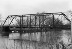
Babylon Bend Bridge3.7 miles1980
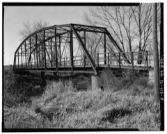
Indian Ford Bridge4.5 miles1980
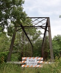
London Mills Bridge6.1 miles1980
Buckeye Bridge6.6 miles1980

Sources for this property

National Archives recordThe nomination case file for reference 96000876 in Record Group 79.
Wikipedia articleCommunity-written account of this property, licensed CC BY-SA.
Fulton CountyAll 38 listed properties in this county.

Provenance

  • Listing record. National Park Service National Register of Historic Places, listed-properties dataset, current to 2026-05-22.
  • Map join. Address geocoded through the United States Census geocoder, then tested against the published boundary of every sheet in the USGS Historical Topographic Map Collection.
  • How this page is made. Listing fields come from federal records; map-sheet coverage is a labelled coordinate-to-boundary calculation, not a source-field claim.
  • Mines and quarries. USGS Mineral Resources Data System (MRDS) https://mrdata.usgs.gov/mrds/ A work of the United States government, no copyright under 17 U.S.C. 105.
  • Storms. NOAA National Centers for Environmental Information, Storm Events Database https://www.ncei.noaa.gov/stormevents/ A work of the United States government, no copyright under 17 U.S.C. 105. Narratives are quoted verbatim from the National Weather Service report and are not edited or summarised.