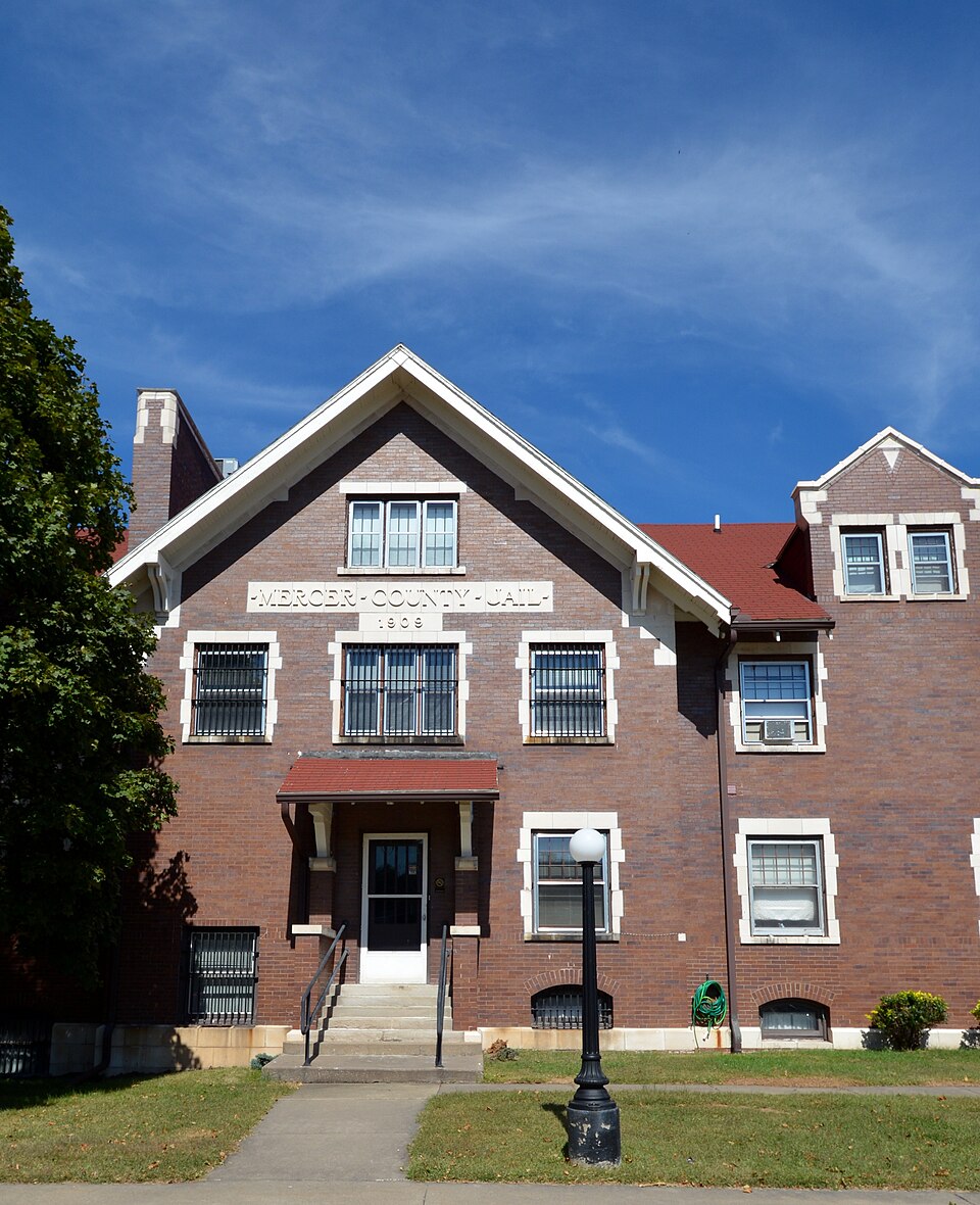
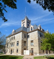
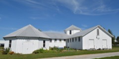
Listed on the National Register of Historic Places in 1997.
From the record
“The Mercer County Jail is a historic county jail building located at 309 South College Avenue in Aledo, Mercer County, Illinois. Completed in 1909, the building was the county's third jail and its second in Aledo.”
Wikipedia article Mercer County Jail, CC BY-SA 4.0.
One of 12 National Register listings published here for Mercer County · listed in 1997 · category: Building.
National Register reference number.97000816- the number the National Park Service assigned this property when it was listed, and the key its nomination file is catalogued under at the National Archives.
Much of the township is underlaid with coal of a good quality, but there have, as yet, been but few banks opened, as it generally lies too deep to work with profit. Banks in the northeast part of the township have been run for many years, but seldom at a great profit. Within a few years mines have been opened near Aledo and are still run on a small scale.
In pursuance of the authority granted by this vote, bonds were issued for the above amount, March 23, 1869, in sums of $100 each, payable ten years after date, and bearing ten per cent interest, payable annually ; the bonds "to be delivered to the company wlien the iron was laid from Galva to Aledo, provided said iron was laid on or before July 1, 1869."
Regional context, not property-specific
evidence. The federal mineral resources record lists
1 working within 5 miles of Mercer County Jail: 1 past producer.
None of them still produces. What was taken out: Stone. Distance is straight-line from the
map coordinates, so a quarry counted here may appear on a neighbouring
settlement's page as well.
Regional context, not property-specific
evidence. The National Weather Service names
Aledo, the town this property stands in, in 40 storm reports between 1993 and 2025: 24 thunderstorm wind, 8 hail, 4 tornado, 1 lightning.
The reports record 1 death. Each account below is quoted exactly as the forecast office
filed it, from the NOAA Storm Events Database, and each date
opens the federal record of that event.
Eyewitness reports along with video and photographic evidence from storm chasers support an intermittent tornado path of nearly 3 miles. There are also reports of minor crop damage associated with tornado. Times were based on detailed information from chasers. With no observable damage to assess, this tornado is rated an EF-U.
A trained spotter reported thunderstorm wind damage to a farm outbuilding south of Aledo. Pictures via social media show part of a wall blown out, but the barn was open to one side and the other wall is partially covered. Time of the event was estimated using radar.
The emergency manager reported furniture blown around and a semi trailer was blown over at the Mercer County Fair in Aledo. Some trees were also blown down in town. Winds were estimated around 60 MPH.
A homestead in rural Aledo suffered heavy damage. High winds shattered windows and destroyed a barn, three empty grain storage bins, a fence, several dog houses and a children's swing set.
No historic map-sheet match is published
for this property yet. That does not mean no map exists. This record needs
a coordinate-quality review before it can be joined to a sheet boundary.
Browse the county's mapped places while that work is
pending.
Listed places nearby
3 within 8 miles
Other National Register properties close
enough to walk or drive between, ordered by distance from this one. Both
positions come from the same geocoding pass that matched these properties
to their map sheets.
Listing record. National Park Service National Register of Historic Places, listed-properties dataset, current to 2026-05-22.
Map join. Address geocoded through the United States Census geocoder, then tested against the published boundary of every sheet in the USGS Historical Topographic Map Collection.
How this page is made. Listing fields come from federal records; map-sheet coverage is a labelled coordinate-to-boundary calculation, not a source-field claim.
Mines and quarries. USGS Mineral Resources Data System (MRDS) https://mrdata.usgs.gov/mrds/ A work of the United States government, no copyright under 17 U.S.C. 105.
Storms. NOAA National Centers for Environmental Information, Storm Events Database https://www.ncei.noaa.gov/stormevents/ A work of the United States government, no copyright under 17 U.S.C. 105. Narratives are quoted verbatim from the National Weather Service report and are not edited or summarised.
 Block