 Block
Adams, Indiana
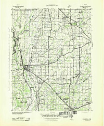
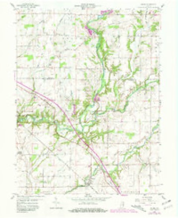
10 topographic sheets cover this place, the earliest surveyed in 1942 and the latest in 1986. It stands in Adams Township. It lies in ZIP code area 47240. The Survey maps it on the Adams quadrangle. It stands 883 feet above sea level.
Topographic sheets covering this place
5 surveys from 10 printed sheetsMatched by testing this settlement's coordinate against the published boundary of every sheet in the United States Geological Survey's historical collection. Each opens the scanned sheet at the Survey.
- 1942 USGS Columbus quadrangle1:125000
- 1953 USGS Cincinnati quadrangle1:250000, 3 printings
- 1957 USGS Cincinnati quadrangle1:250000
- 1959 USGS Adams quadrangle1:24000, 3 printings
- 1986 USGS Greensburg quadrangle1:100000, 2 printings



What happened here
An account from the chapter on Adams township. The inset identifies its exact source book and publication year.
The First Settler
The first white man to take up his abode in Adams township is believed to have been John Gullion. He came from Switzerland county, and was an old Revolutionary soldier - said to have been perfectly irrepressible and uncontrollable in battle. He had been shot through the cheek and mouth in some of the battles of that war, and was greatly disfigured.
In the county-history sources
7,596 words on this townshipHistory of Decatur County, Indiana : Its People, Industries and Institutions, published 1915 names this settlement in its chapter on Adams Township. These are the passages that mention it, exactly as the scans read.
On May 14, 1822, the county commissioners established Adams township with the following limits : Beginning at the county line on the township line dividing townships 10 and 11, range 8, thence east with the township line to the line dividing sections 32 and ^^, range 9, township 11; thence north to the southwest corner of section 21 in the town and range aforesaid; thence east to the southwest corner of section 23, range 9, township 1 1 ; thence north with the section line to -the southwest corner of section 14, thence east to the southwest comer of section 17, range 10, township 11; thence north with the section line to the county line ; thence west with the county line to the northwest corner of said county ; thence south with the county line to the place of beginning.
Passage source: History of Decatur County, Indiana : Its People, Industries and Institutions, published 1915.
This was one of the three original townships laid out in the county, and has been cut down three different times: First, by the formation of Clay township in 1825, sections 27, 26, 25, 30, 34, 35, 36 and 31, township 11, range 8, being cut off to give Clay its present size ; second, when Clinton township was formed, Adams suffering the loss of fourteen whole sections and five half-sections, township 11, range 9, as follow: 2t,, 24, 14, 13, 18, II, 12, 7, 2, I, 6. 35, 31 and the half sections, 34, 3, 10, 15 and 22; third, two sections, 19 and 20, township 11, range 9, were added to Washington township. This left the limits of Adams rather ill defined and after the last cut was made from this township, is found the following extract in the minutes of the commissioners' records: Adams township limits (Vol. i, page 135) : "On May 2, 1825, the limits of Adams township were redefined by the board of justices as follows : Beginning at the county line on the range line dividing ranges 9 and 10; thence south fi\'e miles to the southeast corner of section 24, range 9, township 1 1 ; thence west to the county line ; thence with the county line to the place of beginning."
Passage source: History of Decatur County, Indiana : Its People, Industries and Institutions, published 1915.
The first white man to take up his abode in Adams township is believed to have been John Gullion. He came from Switzerland county, and was an old Revolutionary soldier - said to have been perfectly irrepressible and uncontrollable in battle. He had been shot through the cheek and mouth in some of the battles of that war, and was greatly disfigured. It is believed he visited the country above Big Flatrock in the fall of 1818, building a "shanty" and, perhaps, clearing some ground in the bottom near where the Michigan road crosses that stream. In the spring of 1819 he moved his family and took up his pemianent residence. In the same spring, Abraham Heaton settled about one mile further up that stream. He cleared land and raised a crop of corn in the bottom just below the mouth of Little Flatrock, in what in later years has been known as the Manley Kimble bottom.
Passage source: History of Decatur County, Indiana : Its People, Industries and Institutions, published 1915.
Machine-read from a century-old scan, so expect the errors a machine makes: misspelled names, dropped words, stray characters.
Read the whole chapter on Adams Township - it names this place 12 more 12 times.
Fires near this place
1 since 2004Regional context, not property-specific evidence. The federal wildfire occurrence database lists 1 fire within 5 miles of Adams in 2004, burning about 3 acres in total. None started naturally. None was recorded as arson. Distance is straight-line from the map coordinates, so a fire counted here may appear on a neighbouring settlement's page as well.
| Reported cause | Fires |
|---|---|
| Recreation and ceremony | 1 |
The most recent of them, most recent first, with the day each was reported and the service that recorded it.
| Date | Cause | Size | Reported by | Name on the report |
|---|---|---|---|---|
| 30 October 2004 | Recreation and ceremony | 3.0 acres | Indiana State Fire Marshal's Office | not named |
Settlements close enough to share some of these fires:
Mines and quarries near this place
1 within 5 milesRegional context, not property-specific evidence. The federal mineral resources record lists 1 working within 5 miles of Adams: 1 unknown. None of them still produces. What was taken out: Sand and Gravel, Construction. Distance is straight-line from the map coordinates, so a quarry counted here may appear on a neighbouring settlement's page as well.
| Where | Site | Commodity | Status | Recorded |
|---|---|---|---|---|
| St Omer Gravel Pit | Sand and Gravel, Construction | Unknown |
Storms near this place
7 since 2009Regional context, not property-specific evidence. The National Weather Service names Adams in 7 storm reports between 2009 and 2023: 3 thunderstorm wind, 2 flash flood, 1 lightning, 1 flood. No death or injury is recorded in these reports. Each account below is quoted exactly as the forecast office filed it, from the NOAA Storm Events Database, and each date opens the federal record of that event.
| When | Event | Place named | Harm | What the report says |
|---|---|---|---|---|
| June 2023 | Thunderstorm Wind | Adams | $25,000 | Trees and powerlines downed by thunderstorm wind gusts across the northwestern portion of the county. |
| June 2009 | Lightning | Adams | $25,000 | The Greensburg Daily News reported that a historic home near Greensburg was struck by lightning and a fire was started. Damage to the home was significant. The time this event occurred was estimated. |
| February 2019 | Flash Flood | Adams | $10,000 | Interstate 74 was flooded in multiple parts of the county due to flash flooding from heavy rainfall. Multiple other county roads were closed due to high water. |
| April 2018 | Flash Flood | Adams | $10,000 | A water rescue from a vehicle was undertaken near the intersection of West County Road 240 North and North County Road 500 West. Several area within the county are impassable. |
| August 2018 | Thunderstorm Wind | Adams | $7,000 | A tree was downed onto a house due to damaging thunderstorm wind gusts. |
| June 2023 | Thunderstorm Wind | Adams | $5,000 | Several trees downed by thunderstorm wind gusts within Adams. |
| June 2010 | Flood | Adams | $500 | Some county roads were reported flooded in central Decatur County. There was also a report of 1.37 inches of rainfall occurring near Greensburg in a 30-minute period. |
Nearest settlements
The eight closest, with where each one stands in the county. Distances are straight-line, computed from the Geographic Names Information System coordinates.
| Map | Place | Distance | Sheets |
|---|---|---|---|
| Downeyville | 3.1 miles | 10 | |
| Milford | 3.8 miles | 11 | |
| Ewington | 3.9 miles | 11 | |
| Craig | 4.1 miles | 11 | |
| Saint Omer | 4.1 miles | 10 | |
| Germantown | 4.2 miles | 12 | |
| Saint Paul | 4.8 miles | 12 | |
| Sandusky | 5.0 miles | 10 |
Elsewhere
Matched on this settlement's Geographic Names Information System number rather than its name, so it cannot be a different place of the same name in another state.
| Wikipedia article on Adams | An encyclopaedic summary. Its text is share-alike, so it is linked here rather than copied. |
| Wikidata item Q4680258 | The structured record the population and elevation above come from. Public domain (CC0). |
Provenance
This settlement is recorded in the Geographic Names Information System as feature 430001. The sheet list is computed by point-in-boundary test against the United States Geological Survey's historical topographic inventory. Both are works of the United States government and carry no copyright under 17 U.S.C. 105.
Wildfire. Short, Karen C. 2022. Spatial wildfire occurrence data for the United States, 1992-2020 [FPA_FOD_20221014]. 6th Edition. Fort Collins, CO: Forest Service Research Data Archive. https://doi.org/10.2737/RDS-2013-0009.6 Collected with United States Government funding and usable without additional permissions or fees.
Mines and quarries. USGS Mineral Resources Data System (MRDS) https://mrdata.usgs.gov/mrds/ A work of the United States government, no copyright under 17 U.S.C. 105.
Storms. NOAA National Centers for Environmental Information, Storm Events Database https://www.ncei.noaa.gov/stormevents/ A work of the United States government, no copyright under 17 U.S.C. 105. Narratives are quoted verbatim from the National Weather Service report and are not edited or summarised.