 Block
Milford, Indiana
11 topographic sheets cover this place, the earliest surveyed in 1942 and the latest in 1986. It stands in Clay Township. It lies in ZIP code area 47240. It stands on Pond Branch. The Survey maps it on the Forest Hill quadrangle.
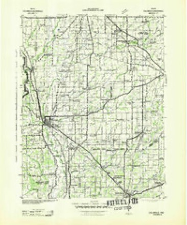
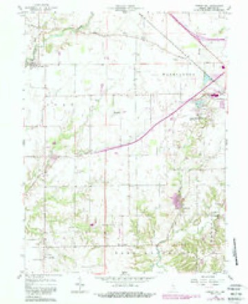
Topographic sheets covering this place
5 surveys from 11 printed sheetsMatched by testing this settlement's coordinate against the published boundary of every sheet in the United States Geological Survey's historical collection. Each opens the scanned sheet at the Survey.
- 1942 USGS Columbus quadrangle1:125000
- 1953 USGS Cincinnati quadrangle1:250000, 3 printings
- 1957 USGS Cincinnati quadrangle1:250000
- 1958 USGS Forest Hill quadrangle1:24000, 4 printings
- 1986 USGS Greensburg quadrangle1:100000, 2 printings



In the county-history sources
2,772 words on this townshipHistory of Decatur County, Indiana : Its People, Industries and Institutions, published 1915 names this settlement in its chapter on Clay Township. These are the passages that mention it, exactly as the scans read.
In 1823', Doddridge Alley, an industrious and energetic farmer, removed from the Saltcreek settlement, in Franklin county, and located on Clifty. about one mile north of the place where Milford now stands. He was elected the first sheriff of the county, serving four years, and afterwards served two years in the state Legislature. ^Nlany amusing anecdotes are told of him (8)
Passage source: History of Decatur County, Indiana : Its People, Industries and Institutions, published 1915.
John Brinson was the founder of the town of Milford. In 1824 he removed to that place, and established a drinking saloon ; he lived there about five years, and then left for parts unknown. In the same year William Crawford moved to this place, made a plat of the town and lived there until 1837, when he moved to Missouri. Elijah Martin settled three-fourths of a mile north of the town, in the same year, and in a short time moved away.
Passage source: History of Decatur County, Indiana : Its People, Industries and Institutions, published 1915.
In 1823, William Richie settled near Milford. where he lived until the year 1834, when he died. Mr. Richie was an old Revolutionary soldier, and was the first man buried in the graveyard in Milford. By his side sleep two of his comrades, William Crawford, and George W. King, Sr., who died in the ninety-third year of his age.
Passage source: History of Decatur County, Indiana : Its People, Industries and Institutions, published 1915.
Machine-read from a century-old scan, so expect the errors a machine makes: misspelled names, dropped words, stray characters.
Read the whole chapter on Clay Township - it names this place 8 more 8 times.
Storms near this place
4 since 2012Regional context, not property-specific evidence. The National Weather Service names Milford in 4 storm reports between 2012 and 2022: 3 thunderstorm wind, 1 hail. No death or injury is recorded in these reports. Each account below is quoted exactly as the forecast office filed it, from the NOAA Storm Events Database, and each date opens the federal record of that event.
| When | Event | Place named | Harm | What the report says |
|---|---|---|---|---|
| May 2022 | Thunderstorm Wind | Milford | $10,000 | Thunderstorm winds snapped a utility pole about halfway up at West Base Road and North County Road 500 West. |
| June 2012 | Thunderstorm Wind | Milford | $1,000 | A tree, one and a half to two feet in diameter, was downed in this location due to damaging thunderstorm wind gusts. |
| May 2012 | Thunderstorm Wind | Milford | - | An estimated 78 mph thunderstorm wind gust was observed in Milford. |
| May 2012 | Hail | Milford | - | no account filed |
Nearest settlements
The eight closest, with where each one stands in the county. Distances are straight-line, computed from the Geographic Names Information System coordinates.
| Map | Place | Distance | Sheets |
|---|---|---|---|
| Burney | 2.6 miles | 11 | |
| Ewington | 3.1 miles | 11 | |
| Adams | 3.8 miles | 10 | |
| Germantown | 4.5 miles | 12 | |
| Craig | 5.4 miles | 11 | |
| Saint Paul | 5.4 miles | 12 | |
| Saint Omer | 6.0 miles | 10 | |
| Downeyville | 6.3 miles | 10 |
Provenance
This settlement is recorded in the Geographic Names Information System as feature 439138. The sheet list is computed by point-in-boundary test against the United States Geological Survey's historical topographic inventory. Both are works of the United States government and carry no copyright under 17 U.S.C. 105.
Storms. NOAA National Centers for Environmental Information, Storm Events Database https://www.ncei.noaa.gov/stormevents/ A work of the United States government, no copyright under 17 U.S.C. 105. Narratives are quoted verbatim from the National Weather Service report and are not edited or summarised.