 Block
Badger Grove, Indiana
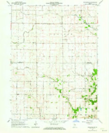
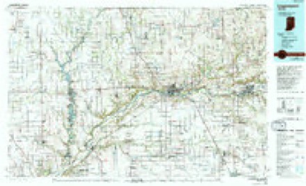
9 topographic sheets cover this place, the earliest surveyed in 1953 and the latest in 1985. It stands in Prairie Township. It lies in ZIP code area 47923. The Survey maps it on the Brookston SW quadrangle.
Topographic sheets covering this place
5 surveys from 9 printed sheetsMatched by testing this settlement's coordinate against the published boundary of every sheet in the United States Geological Survey's historical collection. Each opens the scanned sheet at the Survey.
- 1953 USGS Danville quadrangle1:250000, 3 printings
- 1955 USGS Danville quadrangle1:250000
- 1956 USGS Danville quadrangle1:250000
- 1962 USGS Brookston SW quadrangle1:24000, 2 printings
- 1985 USGS Logansport quadrangle1:100000, 2 printings



Storms near this place
7 since 2011Regional context, not property-specific evidence. The National Weather Service names Badger Grove in 7 storm reports between 2011 and 2023: 4 tornado, 2 thunderstorm wind, 1 hail. No death or injury is recorded in these reports. Each account below is quoted exactly as the forecast office filed it, from the NOAA Storm Events Database, and each date opens the federal record of that event.
| When | Event | Place named | Harm | What the report says |
|---|---|---|---|---|
| March 2023 | Tornado (EF2) | Badger Grove | - | After impacting Benton County, the tornado continued into White county. Damage consisted primarily of downed trees, power poles, and damaged farm outbuildings. However there were several homes damaged, two significantly. |
| July 2019 | Hail | Badger Grove | - | Hail stones varied from blueberry and coco puff size to roughly nickel size. |
| August 2018 | Tornado (EF0) | Badger Grove | - | A drone survey indicated that numerous crops were pushed down in a convergent path in a field south of County Road 1250 South. A residence on the north side of the road suffered minor shingle damage with a nearby barn losing part of its roof and a tree uprooted in the yard. The tornado quickly lifted after impact the residence. Maximum winds of 60 to 65 mph are estimated. |
| November 2013 | Tornado (EF2) | Badger Grove | - | A survey of damage by NWS officials indicated that a tornado touched down in eastern Benton county and continued northeast into White county, likely reaching a peak intensity of EF2. Exact determination of maximum intensity was difficult due to vastly open country and lack of trees and other objects. The tornado moved into southwestern White county south of County Road 1200 South, where the garage door of a west facing pole barn was pushed in and some minor tree limb damage was noted. The tornado continued rapidly northeast and impacted a residence on 900 West where the chimney (above the roof) was knocked down with shingle damage noted to the home. In addition, a large propane tank and camper were rolled or pushed roughly 150 feet away with the camper being destroyed. The tornado moved into open fields where it remained for roughly four miles, crossing Interstate 65 between mile markers 188 and 190. The tornado briefly strengthened after crossing the interstate, snapping 10 18-24 inch diameter power poles (DI: ETL DOD: 4) at the ground along County Road 500 West, either side of State Route 18. A home on the intersection of these roads suffered minor window and roof damage. Just east of the intersection, a pole barn was destroyed (DI: SBO DOD: 8) with debris thrown upwards of three-quarters of a mile. The tornado finally lifted west of County Road 300 West and north of State Route 18. The tornado was on the ground for a combined distance of 12 miles from eastern Benton county into White county. A maximum width of roughly 1200 yards was determined with maximum wind speeds around 120 mph. |
| November 2013 | Tornado (EF2) | Badger Grove | - | A review of radar data and damage details near the southwestern White county tornado revealed a separate tornado, which also reached EF2 intensity, occurred roughly 10 minutes behind the first tornado. The tornado touched down west of County Road 1100 West and north of the White/Tippecanoe county line where it impacted a farm, destroying two barns (one large and one small) with debris being thrown more than a half mile away from the location. In addition, several healthy pine trees lost branches with a few being snapped at the trunk and then launched or dragged several hundred feet to the east. The tornado moved northeast and impacted a residence on US 231, south of County Road 1200 South. The entire roof of a one story home (DI: FR12 DOD: 6) was removed and thrown northeast into a field. Two by four boards were driven into the field up to 250 yards away. The tornado eventually crossed Interstate 65 hitting yet another farm with extensive barn and shed damage on County Road 500 West, south of State Route 18. Power pole damage was noted in this area as well, but was not clear if this was from the prior tornado just to the north. Northeast of this location, it appears that the tornado quickly dissipated or became harder to detect based on the earlier damage. Maximum winds are estimated at 120 mph. |
| June 2011 | Thunderstorm Wind | Badger Grove | - | A trained spotter reported power lines down as well as roof damage to a barn from the strong winds. |
| August 2011 | Thunderstorm Wind | Badger Grove | - | Local media reported trees and tree limbs were blown down in the area. Some corn suffered damage as well. |
Nearest settlements
The eight closest, with where each one stands in the county. Distances are straight-line, computed from the Geographic Names Information System coordinates.
| Map | Place | Distance | Sheets |
|---|---|---|---|
| Round Grove | 3.6 miles | 8 | |
| Brookston | 5.3 miles | 9 | |
| Chalmers | 7.4 miles | 9 | |
| Springboro | 10.0 miles | 9 | |
| Smithson | 10.4 miles | 9 | |
| Seafield | 12.0 miles | 9 | |
| Reynolds | 12.4 miles | 9 | |
| Wolcott | 12.7 miles | 10 |
Provenance
This settlement is recorded in the Geographic Names Information System as feature 430397. The sheet list is computed by point-in-boundary test against the United States Geological Survey's historical topographic inventory. Both are works of the United States government and carry no copyright under 17 U.S.C. 105.
Storms. NOAA National Centers for Environmental Information, Storm Events Database https://www.ncei.noaa.gov/stormevents/ A work of the United States government, no copyright under 17 U.S.C. 105. Narratives are quoted verbatim from the National Weather Service report and are not edited or summarised.