 Block
Belshaw, Indiana
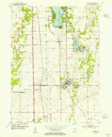
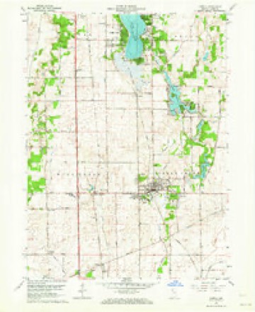
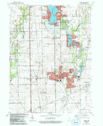
12 topographic sheets cover this place, the earliest surveyed in 1953 and the latest in 1992. It stands in West Creek Township. It lies in ZIP code area 46356. The Survey maps it on the Lowell quadrangle. It stands 673 feet above sea level.
Topographic sheets covering this place
7 surveys from 12 printed sheetsMatched by testing this settlement's coordinate against the published boundary of every sheet in the United States Geological Survey's historical collection. Each opens the scanned sheet at the Survey.
- 1953 USGS Chicago quadrangle1:250000, 5 printings
- 1953 USGS Lowell quadrangle1:24000
- 1957 USGS Chicago quadrangle1:250000
- 1962 USGS Lowell quadrangle1:24000, 2 printings
- 1984 USGS Kankakee quadrangle1:100000
- 1991 USGS Kankakee quadrangle1:100000
- 1992 USGS Lowell quadrangle1:24000


Mines and quarries near this place
2 within 5 milesRegional context, not property-specific evidence. The federal mineral resources record lists 2 workings within 5 miles of Belshaw: 1 producer, 1 past producer. 1 still produces. What was taken out: Sand and Gravel, Construction, Stone, Crushed/Broken. Distance is straight-line from the map coordinates, so a quarry counted here may appear on a neighbouring settlement's page as well.
| Where | Site | Commodity | Status | Recorded |
|---|---|---|---|---|
| M & W Dredge | Sand and Gravel, Construction | Producer | ||
| Northern Indiana Stone Quarry | Stone, Crushed/Broken | Past Producer |
Storms near this place
5 since 2011Regional context, not property-specific evidence. The National Weather Service names Belshaw in 5 storm reports between 2011 and 2026: 2 tornado, 1 thunderstorm wind, 1 heavy rain, 1 flood. No death or injury is recorded in these reports. Each account below is quoted exactly as the forecast office filed it, from the NOAA Storm Events Database, and each date opens the federal record of that event.
| When | Event | Place named | Harm | What the report says |
|---|---|---|---|---|
| June 2011 | Thunderstorm Wind | Belshaw | $5,000 | Many trees and power lines were blown down across southern Lake County. |
| April 2026 | Tornado (EF0) | Belshaw | - | This tornado began just west of the Illinois-Indiana state line near CR 9000N in northeast Kankakee County. The first instances of damage included uprooted softwood trees, downed large branches from hardwood trees, and minor structural damage noted near Stateline Rd on either side of the border. As the tornado quickly tracked northeast, it caused additional tree damage on at least one property near US-41. Along the path toward and through Lowell, the tornado blew out sections of a gas station canopy along IN-2 and then a garage wall at a residence just northwest of downtown Lowell. This was in addition to causing further tree and minor structural damage in a defined narrow path. The tornado continued through southern and southeastern sections of Lake Dalecarlia, causing primarily tree damage and minor structural damage due to fallen trees. Based on the ground survey, the tornado likely dissipated prior to reaching IN-55. |
| July 2025 | Heavy Rain | Belshaw | - | Storm total rainfall of 3.94 inches was measured by a private weather station. |
| December 2025 | Flood | Belshaw | - | Flooding occurred across many areas in northern and central Lake County. In Crown Point, multiple areas were flooded due to clogged storm drains. Flooding was reported near 97th Street and Buchanan Street and South Street near Court Street. Near Hammond, a photo showed Broadmoor Avenue closed at Manor Avenue due to flooding. East of Griffith, street flooding was reported near 47th Avenue and Hatcher Boulevard. Near Gary, a photo showed 4th Avenue at Hamilton Street flooded. Water was also across sidewalks and low-lying sections of yards. In Schererville, a photo showed flooding of yards and fields along Cline Avenue near a cemetery, where the side entrance to the cemetery was inundated. In St. John, widespread flooding occurred. Multiple roadways had flooded sections including at Tall Grass Trail and 93rd Avenue. The retention pond at Prairie Pond Park overflowed into nearby park land. Poor drainage areas were flooded along Parrish Avenue near 85th Avenue with ditches full and nearing the roadway. |
| June 2014 | Tornado (EF1) | Belshaw | - | A tornado touched down near the intersection of U.S. Highway 41 and Belshaw Rd and tracked due east ending near Colfax Rd. Damage was done primarily to trees. Maximum winds were estimated to 110 mph. |
Nearest settlements
The eight closest, with where each one stands in the county. Distances are straight-line, computed from the Geographic Names Information System coordinates.
| Map | Place | Distance | Sheets |
|---|---|---|---|
| North Hayden | 2.3 miles | 12 | |
| Lowell | 3.0 miles | 12 | |
| Schneider | 4.8 miles | 13 | |
| Creston | 5.7 miles | 12 | |
| Orchard Grove | 5.8 miles | 12 | |
| Illinoi | 6.0 miles | 15 | |
| Lake Dalecarlia | 6.0 miles | 12 | |
| Shelby | 7.0 miles | 11 |
Elsewhere
Matched on this settlement's Geographic Names Information System number rather than its name, so it cannot be a different place of the same name in another state.
| Wikipedia article on Belshaw | An encyclopaedic summary. Its text is share-alike, so it is linked here rather than copied. |
| Wikidata item Q4884675 | The structured record the population and elevation above come from. Public domain (CC0). |
Provenance
This settlement is recorded in the Geographic Names Information System as feature 430788. The sheet list is computed by point-in-boundary test against the United States Geological Survey's historical topographic inventory. Both are works of the United States government and carry no copyright under 17 U.S.C. 105.
Mines and quarries. USGS Mineral Resources Data System (MRDS) https://mrdata.usgs.gov/mrds/ A work of the United States government, no copyright under 17 U.S.C. 105.
Storms. NOAA National Centers for Environmental Information, Storm Events Database https://www.ncei.noaa.gov/stormevents/ A work of the United States government, no copyright under 17 U.S.C. 105. Narratives are quoted verbatim from the National Weather Service report and are not edited or summarised.