 Block
North Hayden, Indiana
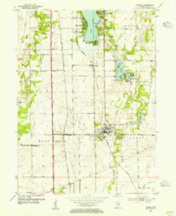
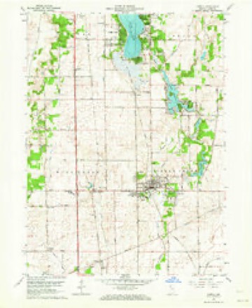
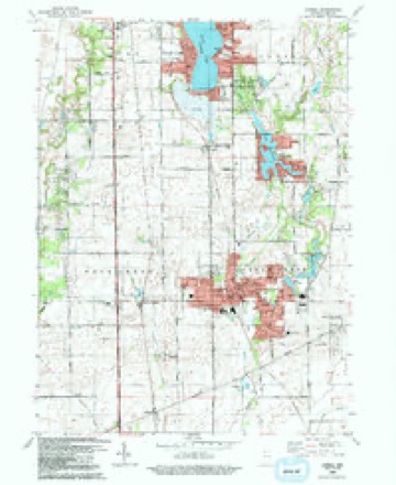
12 topographic sheets cover this place, the earliest surveyed in 1953 and the latest in 1992. It stands in West Creek Township. It lies in ZIP code area 46356. The Survey maps it on the Lowell quadrangle.
Topographic sheets covering this place
7 surveys from 12 printed sheetsMatched by testing this settlement's coordinate against the published boundary of every sheet in the United States Geological Survey's historical collection. Each opens the scanned sheet at the Survey.
- 1953 USGS Chicago quadrangle1:250000, 5 printings
- 1953 USGS Lowell quadrangle1:24000
- 1957 USGS Chicago quadrangle1:250000
- 1962 USGS Lowell quadrangle1:24000, 2 printings
- 1984 USGS Kankakee quadrangle1:100000
- 1991 USGS Kankakee quadrangle1:100000
- 1992 USGS Lowell quadrangle1:24000



Mines and quarries near this place
2 within 5 milesRegional context, not property-specific evidence. The federal mineral resources record lists 2 workings within 5 miles of North Hayden: 1 producer, 1 past producer. 1 still produces. What was taken out: Sand and Gravel, Construction, Stone, Crushed/Broken. Distance is straight-line from the map coordinates, so a quarry counted here may appear on a neighbouring settlement's page as well.
| Where | Site | Commodity | Status | Recorded |
|---|---|---|---|---|
| M & W Dredge | Sand and Gravel, Construction | Producer | ||
| Northern Indiana Stone Quarry | Stone, Crushed/Broken | Past Producer |
Storms near this place
10 since 2011Regional context, not property-specific evidence. The National Weather Service names North Hayden in 10 storm reports between 2011 and 2024: 4 thunderstorm wind, 4 tornado, 1 flash flood, 1 flood. No death or injury is recorded in these reports. Each account below is quoted exactly as the forecast office filed it, from the NOAA Storm Events Database, and each date opens the federal record of that event.
| When | Event | Place named | Harm | What the report says |
|---|---|---|---|---|
| June 2014 | Tornado (EF1) | North Hayden | $128,000 | This tornado began near Kankakee County Highway 13 in Illinois and crossed into Indiana just south of E. 10500N Rd. A house under construction (but sealed) had an exterior wall of the garage blown out, part of a second story exterior wall blown in, and a portion of roof removed. A barn also had substantial roof damage along with numerous large trees snapped, uprooted, and partially stripped of their branches. The tornado dissipated south of Lowell, Indiana near Colfax St. Maximum winds were estimated to 110 mph. |
| June 2014 | Tornado (EF1) | North Hayden | $86,000 | This tornado started slightly east of the Illinois-Indiana state line and crossed U.S. Highway 41 before ending just east of Austin St. There were multiple large hardwood trees snapped and uprooted because of this tornado, as well as roof damage to a barn. Maximum winds were estimated to be 100 mph. |
| June 2011 | Thunderstorm Wind | North Hayden | $2,000 | A billboard and a 40 foot tall tree were blown down near Route 41 and Route 2. |
| July 2024 | Tornado (EF0) | North Hayden | - | A tornado with estimated peak winds of 80 mph touched down southwest of the intersection of Commercial Avenue and Austin Street and moved generally east, just south of Commercial Avenue. Some houses suffered minor roof and fascia damage along Surrey Drive and Longwood Drive. Tree damage also occurred in this area. Tree damage continued south of Oakley Avenue and south of Lincoln Avenue and then the tornado ended near Route 2, just west of Woodland Court. |
| March 2023 | Thunderstorm Wind | North Hayden | - | A personal weather station measured a 62 mph gust on the corner of 173rd and Schubert Streets in Lowell. |
| July 2023 | Thunderstorm Wind | North Hayden | - | This gust was recorded on a personal weather station. |
| June 2019 | Flash Flood | North Hayden | - | Route 2 was flooded under a railroad bridge. |
| June 2019 | Flood | North Hayden | - | Flooding of Route 2 under a railroad bridge continued through midday. |
| June 2014 | Tornado (EF1) | North Hayden | - | This short-lived tornado began just west of the Illinois-Indiana state line and crossed the state line into a grove of trees and ended near Calumet Ave. There were multiple large trees downed with this tornado. Maximum winds were estimated to 90 mph. |
| June 2011 | Thunderstorm Wind | North Hayden | - | A wind gust to 70 mph was estimated near White Oak and 181st Avenues. |
Nearest settlements
The eight closest, with where each one stands in the county. Distances are straight-line, computed from the Geographic Names Information System coordinates.
| Map | Place | Distance | Sheets |
|---|---|---|---|
| Lowell | 2.0 miles | 12 | |
| Belshaw | 2.3 miles | 12 | |
| Creston | 3.6 miles | 12 | |
| Lake Dalecarlia | 4.4 miles | 12 | |
| Cedar Lake | 5.2 miles | 12 | |
| Klaasville | 5.5 miles | 13 | |
| Orchard Grove | 5.6 miles | 12 | |
| Cook | 6.0 miles | 12 |
Elsewhere
Matched on this settlement's Geographic Names Information System number rather than its name, so it cannot be a different place of the same name in another state.
| Wikidata item Q122562188 | The structured record the population and elevation above come from. Public domain (CC0). |
Provenance
This settlement is recorded in the Geographic Names Information System as feature 440264. The sheet list is computed by point-in-boundary test against the United States Geological Survey's historical topographic inventory. Both are works of the United States government and carry no copyright under 17 U.S.C. 105.
Mines and quarries. USGS Mineral Resources Data System (MRDS) https://mrdata.usgs.gov/mrds/ A work of the United States government, no copyright under 17 U.S.C. 105.
Storms. NOAA National Centers for Environmental Information, Storm Events Database https://www.ncei.noaa.gov/stormevents/ A work of the United States government, no copyright under 17 U.S.C. 105. Narratives are quoted verbatim from the National Weather Service report and are not edited or summarised.