 Block
Cementville, Indiana
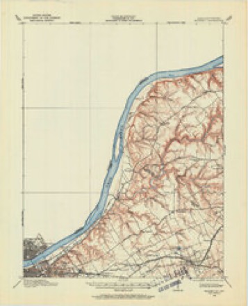
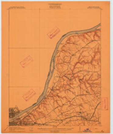
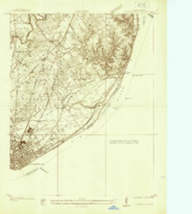
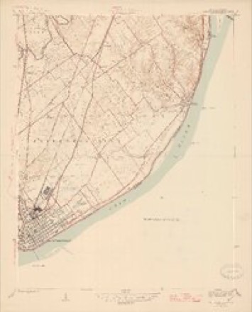
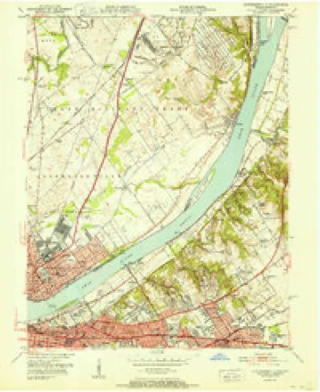
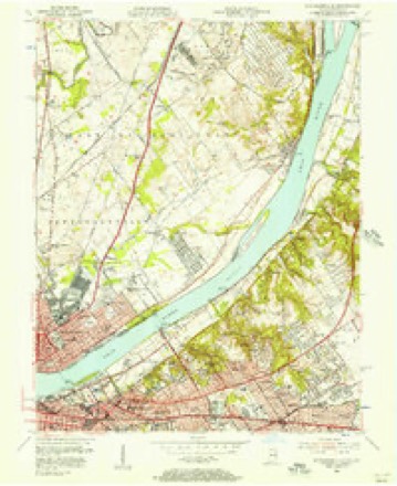
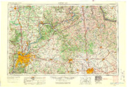
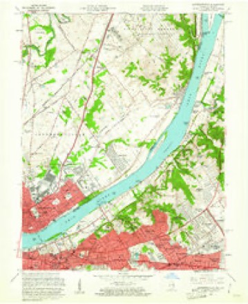
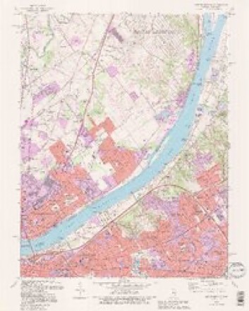
21 topographic sheets cover this place, the earliest surveyed in 1905 and the latest in 1993. It stands in Jeffersonville Township. It lies in ZIP code area 47130. It stands on Big Drain. The Survey maps it on the Jeffersonville quadrangle. It stands 463 feet above sea level.
Topographic sheets covering this place
13 surveys from 21 printed sheetsMatched by testing this settlement's coordinate against the published boundary of every sheet in the United States Geological Survey's historical collection. Each opens the scanned sheet at the Survey.
- 1905 USGS Prospect quadrangle1:62500
- 1912 USGS Prospect quadrangle1:62500, 3 printings
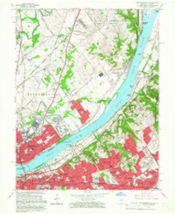
- 1937 USGS Jeffersonville quadrangle1:24000
- 1946 USGS Jeffersonville quadrangle1:24000, 2 printings
- 1951 USGS Jeffersonville quadrangle1:24000
- 1955 USGS Jeffersonville quadrangle1:24000
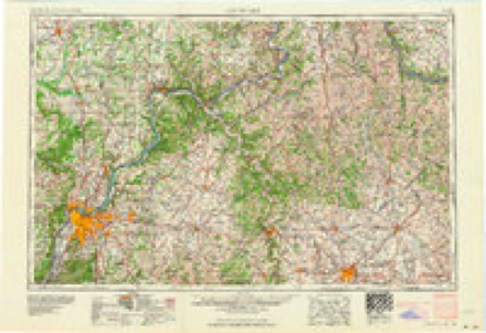
- 1956 USGS Louisville quadrangle1:250000, 2 printings
- 1960 USGS Jeffersonville quadrangle1:24000
- 1964 USGS Louisville quadrangle1:250000
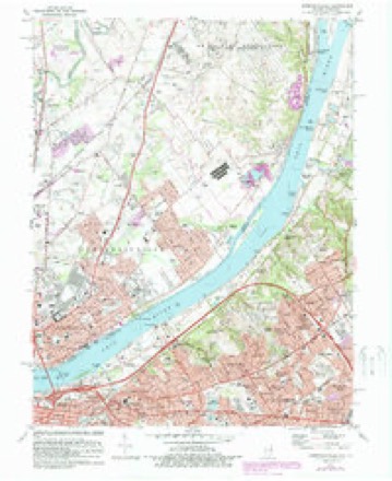
- 1965 USGS Jeffersonville quadrangle1:24000, 2 printings
- 1982 USGS Jeffersonville quadrangle1:24000, 2 printings
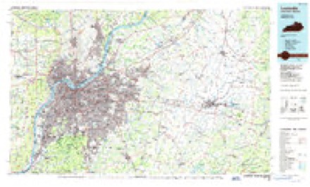
- 1986 USGS Louisville quadrangle1:100000, 2 printings
- 1993 USGS Jeffersonville quadrangle1:24000, 2 printings
Mines and quarries near this place
8 within 5 milesRegional context, not property-specific evidence. The federal mineral resources record lists 8 workings within 5 miles of Cementville: 5 producers, 2 past producers, 1 plant. 6 still produce. What was taken out: Stone, Crushed/Broken, Sand and Gravel, Construction, Salt, Magnesite. Distance is straight-line from the map coordinates, so a quarry counted here may appear on a neighbouring settlement's page as well.
| Where | Site | Commodity | Status | Recorded |
|---|---|---|---|---|
| Cargill Salt/ Clarksville, Ind. | Salt | Plant | ||
| Pilot Co. Pit | Magnesite | Past Producer | ||
| Alert Dredge | Sand and Gravel, Construction | Producer | ||
| Utica Sand and Gravel Pit | Sand and Gravel, Construction | Producer | ||
| Atkins Plant & Quarry | Stone, Crushed/Broken | Producer | ||
| Jeffersonville Plant | Stone, Crushed/Broken | Producer | ||
| Louisville Sand&Gravel Inc | Stone, Crushed/Broken | Past Producer | ||
| Sellersburg Stone Quarry | Stone, Crushed/Broken | Producer |
Storms near this place
11 since 2009Regional context, not property-specific evidence. The National Weather Service names Cementville in 11 storm reports between 2009 and 2026: 6 thunderstorm wind, 2 hail, 1 flash flood, 1 flood. No death or injury is recorded in these reports. Each account below is quoted exactly as the forecast office filed it, from the NOAA Storm Events Database, and each date opens the federal record of that event.
| When | Event | Place named | Harm | What the report says |
|---|---|---|---|---|
| April 2026 | Thunderstorm Wind | Cementville | - | Power lines were down along Coopers Lane. |
| March 2026 | Thunderstorm Wind | Cementville | - | A semi flipped over, blocking westbound Interstate 265 at mile marker 33.6. |
| March 2025 | Hail | Cementville | - | Wind driven hail broke windows and caused hail drifts of 6 inches. |
| September 2024 | Tornado (EF0) | Cementville | - | A National Weather Service damage survey team confirmed an EF0 tornado tracked between Clarksville and Sellersburg in southern Clark County. The tornado touched down just northeast of the intersection of Interstate 65 and Interstate 265. The majority of the damage was in the Silver Lake Trailer Park. Trees were uprooted and topped, hitting two different mobile homes; the trees were facing from the north to the|northeast. There were nine power poles and seven cross members heavily|damaged. The foundations of some of the mobile homes had shifted as a result of the tornado. Tornado wind speeds were estimated to be 80 miles per hour, with a width of up to 100 yards.||A railroad arm at Apple Leaf Lane and U.S. Route 31 was bent significantly.|The tornado damaged a couple of trees in fields as it moved to the|northeast towards Charlestown Pike. Near the Prather Schoolhouse and Ladies Union Club on Charlestown Pike, there were several trees twisted and topped. Tornado wind speeds were estimated to be 75 miles per hour, with a width of up to 50 yards. The|tornado lifted just northeast of Charlestown Pike. |
| July 2021 | Thunderstorm Wind | Cementville | - | A tree fell on Crums Lane. |
| July 2018 | Flood | Cementville | - | Four inches of water was standing on Interstate 65. |
| May 2014 | Hail | Cementville | - | Louisville local media relayed a report of 1.25 inch hail and winds that gusted to 50 mph. An off duty Weather Service employee located 2 miles away reported one inch hail at the same time. |
| August 2011 | Thunderstorm Wind | Cementville | - | A 65 mph wind gust was measured by an AWOS site at the Clark County Airport. |
| August 2009 | Flash Flood | Cementville | - | Several areas were closed along HWY 62 in Clark County. |
| August 2009 | Thunderstorm Wind | Cementville | - | Trees were downed near Interstate 65 at exit 9, closing the interstate. |
| July 2020 | Thunderstorm Wind | Cementville | - | no account filed |
Nearest settlements
The eight closest, with where each one stands in the county. Distances are straight-line, computed from the Geographic Names Information System coordinates.
| Map | Place | Distance | Sheets |
|---|---|---|---|
| Watson | 2.4 miles | 21 | |
| Hamburg | 2.6 miles | 14 | |
| Blackiston Village | 2.8 miles | 19 | |
| Sellersburg | 3.4 miles | 14 | |
| Graysville | 3.5 miles | 19 | |
| Prather | 3.6 miles | 15 | |
| Clarksville | 3.7 miles | 19 | |
| Oak Park | 4.0 miles | 21 |
Elsewhere
Matched on this settlement's Geographic Names Information System number rather than its name, so it cannot be a different place of the same name in another state.
| Wikipedia article on Cementville | An encyclopaedic summary. Its text is share-alike, so it is linked here rather than copied. |
| Wikidata item Q5058679 | The structured record the population and elevation above come from. Public domain (CC0). |
Provenance
This settlement is recorded in the Geographic Names Information System as feature 432295. The sheet list is computed by point-in-boundary test against the United States Geological Survey's historical topographic inventory. Both are works of the United States government and carry no copyright under 17 U.S.C. 105.
Mines and quarries. USGS Mineral Resources Data System (MRDS) https://mrdata.usgs.gov/mrds/ A work of the United States government, no copyright under 17 U.S.C. 105.
Storms. NOAA National Centers for Environmental Information, Storm Events Database https://www.ncei.noaa.gov/stormevents/ A work of the United States government, no copyright under 17 U.S.C. 105. Narratives are quoted verbatim from the National Weather Service report and are not edited or summarised.