 Block
Watson, Indiana
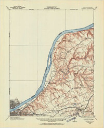
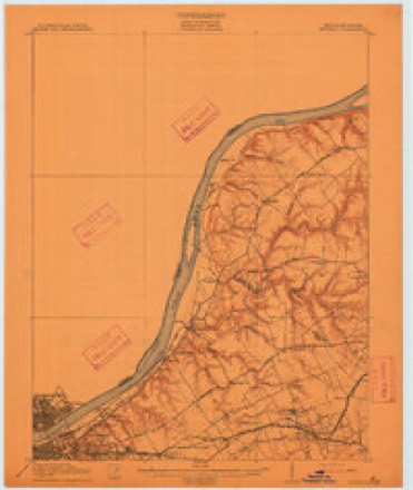
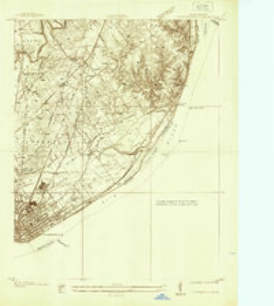
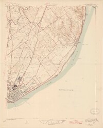
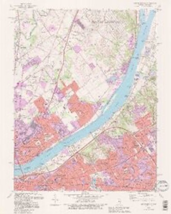
21 topographic sheets cover this place, the earliest surveyed in 1905 and the latest in 1993. It stands in Utica Township. It lies in ZIP code area 47130. The Survey maps it on the Jeffersonville quadrangle. It stands 518 feet above sea level.
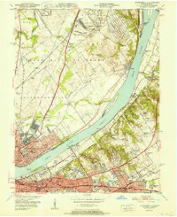
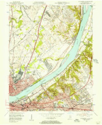
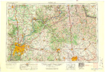
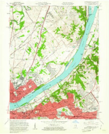
Topographic sheets covering this place
13 surveys from 21 printed sheetsMatched by testing this settlement's coordinate against the published boundary of every sheet in the United States Geological Survey's historical collection. Each opens the scanned sheet at the Survey.
- 1905 USGS Prospect quadrangle1:62500
- 1912 USGS Prospect quadrangle1:62500, 3 printings
- 1937 USGS Jeffersonville quadrangle1:24000
- 1946 USGS Jeffersonville quadrangle1:24000, 2 printings
- 1951 USGS Jeffersonville quadrangle1:24000
- 1955 USGS Jeffersonville quadrangle1:24000
- 1956 USGS Louisville quadrangle1:250000, 2 printings
- 1960 USGS Jeffersonville quadrangle1:24000
- 1964 USGS Louisville quadrangle1:250000
- 1965 USGS Jeffersonville quadrangle1:24000, 2 printings
- 1982 USGS Jeffersonville quadrangle1:24000, 2 printings
- 1986 USGS Louisville quadrangle1:100000, 2 printings
- 1993 USGS Jeffersonville quadrangle1:24000, 2 printings
Mines and quarries near this place
9 within 5 milesRegional context, not property-specific evidence. The federal mineral resources record lists 9 workings within 5 miles of Watson: 5 producers, 4 past producers. 5 still produce. What was taken out: Stone, Crushed/Broken, Sand and Gravel, Construction. Distance is straight-line from the map coordinates, so a quarry counted here may appear on a neighbouring settlement's page as well.
| Where | Site | Commodity | Status | Recorded |
|---|---|---|---|---|
| Alert Dredge | Sand and Gravel, Construction | Producer | ||
| Martha E. Green Dredge | Sand and Gravel, Construction | Past Producer | ||
| Utica Sand Plant | Sand and Gravel, Construction | Past Producer | ||
| Utica Sand and Gravel Pit | Sand and Gravel, Construction | Producer | ||
| Atkins Plant & Quarry | Stone, Crushed/Broken | Producer | ||
| Jeffersonville Plant | Stone, Crushed/Broken | Producer | ||
| Louisville Sand&Gravel Inc | Stone, Crushed/Broken | Past Producer | ||
| Sellersburg Stone Quarry | Stone, Crushed/Broken | Producer | ||
| Utica Quarry | Stone, Crushed/Broken | Past Producer |
Storms near this place
7 since 2011Regional context, not property-specific evidence. The National Weather Service names Watson in 7 storm reports between 2011 and 2026: 5 thunderstorm wind, 2 tornado. The reports record 10 injuries. Each account below is quoted exactly as the forecast office filed it, from the NOAA Storm Events Database, and each date opens the federal record of that event.
| When | Event | Place named | Harm | What the report says |
|---|---|---|---|---|
| April 2024 | Tornado (EF1) | Watson | 10 hurt | The National Weather Service in Louisville surveyed storm damage in southeast Clark County IN, through far northeast Jefferson KY, and into western Oldham County. Specifically the tornado traveled just southeast of the Clark County Indiana Airport, east through Utica, crossing the Ohio River into Prospect, and lifting just east of the Sleepy Hollow Golf Course in Oldham County. The tornado was its strongest in Jefferson County, KY where it was an EF2 with 120 mph winds and 450 yards wide. ||Clark County IN... A strong line of severe thunderstorms moved through Clark County Indiana developing a tornado near Interstate 265 and East State Road 62. This tornado led to healthy trees being uprooted near Charlestown Pike. Here, the tornado was an EF0 with 80 to 85 mph winds, and a width of 150 yards. ||The tornado knocked over 3 full tractor trailers as well. The tornado quickly strengthened moving east through the Brookhollow neighborhood. Many garage doors were blown out, windows broken, and large sections of roof structure compromised, brick facade crumbling, and trees uprooted. The tornado was rated EF1 at 100 |mph in this neighborhood with a width of 200 yards. Many wooden boards were impaled and driven more than a foot into the ground and some were impaled into homes. ||An industrial business, with metal roofing near Interstate 265 and Old Salem Road had roof section pulled and twisted and had a 5000 pound salt pod lifted up over 4 foot concrete barrier, and thrown down a hill some 40 yards. The tornado was 100 mph, EF1, with a width of 225 yards. ||The tornado continued east over the Ohio River in Northern Utica. Homes along the bank of the Ohio River had broken windows and peeled metal roofing, which occurred from an EF1 tornado with 97 mph winds and width of 250 yards. |
| February 2011 | Tornado (EF0) | Watson | $5,000 | An NWS storm survey confirmed a tornado which crossed the Ohio River from Clark county, IN to Jefferson county, KY. The tornado was rated an EF-0 in Indiana and an EF-1 in Kentucky. This tornado touched down in Clark County near Centennial Boulevard. Large hardwood trees were uprooted along the tornado's path towards Utica. A house on Middle Road had a tin roof blown off and thrown 200 yards. A couple of garage doors were dented in. Winds along this part of the tornado path were estimated to be 85 mph with a path width of 100 yards. |
| April 2026 | Thunderstorm Wind | Watson | - | A large tree fell along the 3500 block of Stenger Lane. |
| April 2026 | Thunderstorm Wind | Watson | - | A tree fell across Hay Market Drive. |
| July 2021 | Thunderstorm Wind | Watson | - | A tree was down on Rolling Ridge Way. |
| July 2020 | Thunderstorm Wind | Watson | - | Trees were reported down between Crown Ridge Lane and 10th Street. |
| July 2015 | Thunderstorm Wind | Watson | - | The Clark County emergency manager reported trees down across the roadway near the intersection of Charlestown Pike and US 62. |
Nearest settlements
The eight closest, with where each one stands in the county. Distances are straight-line, computed from the Geographic Names Information System coordinates.
| Map | Place | Distance | Sheets |
|---|---|---|---|
| Prather | 2.3 miles | 15 | |
| Cementville | 2.4 miles | 21 | |
| Utica | 2.7 miles | 21 | |
| Oak Park | 3.0 miles | 21 | |
| Longview Beach | 3.4 miles | 21 | |
| River Ridge | 3.6 miles | 15 | |
| Hamburg | 4.3 miles | 14 | |
| Sellersburg | 4.5 miles | 14 |
Elsewhere
Matched on this settlement's Geographic Names Information System number rather than its name, so it cannot be a different place of the same name in another state.
| Wikipedia article on Watson | An encyclopaedic summary. Its text is share-alike, so it is linked here rather than copied. |
| Wikidata item Q7974791 | The structured record the population and elevation above come from. Public domain (CC0). |
Provenance
This settlement is recorded in the Geographic Names Information System as feature 445551. The sheet list is computed by point-in-boundary test against the United States Geological Survey's historical topographic inventory. Both are works of the United States government and carry no copyright under 17 U.S.C. 105.
Mines and quarries. USGS Mineral Resources Data System (MRDS) https://mrdata.usgs.gov/mrds/ A work of the United States government, no copyright under 17 U.S.C. 105.
Storms. NOAA National Centers for Environmental Information, Storm Events Database https://www.ncei.noaa.gov/stormevents/ A work of the United States government, no copyright under 17 U.S.C. 105. Narratives are quoted verbatim from the National Weather Service report and are not edited or summarised.