 Block
Charlestown, Indiana
15 topographic sheets cover this place, the earliest surveyed in 1905 and the latest in 1986. It stands in Charlestown Township. It lies in ZIP code area 47111. The Survey maps it on the Charlestown quadrangle. 7,775 people lived here at the 2020 count. It stands 591 feet above sea level.
On record in Charlestown
Buildings and businesses the archive holds for this place. Each opens its own page, with the source record it came from.
On the National Register 5 records
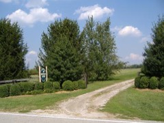 Bottorff-McCulloch Farmlisted 1995
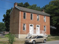 Thomas Downs Houselisted 1984
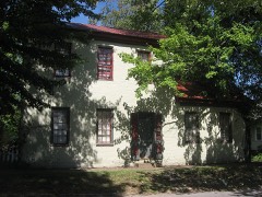 Benjamin Ferguson Houselisted 1983
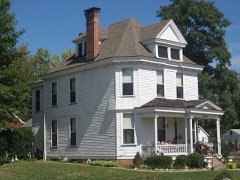 Watson Houselisted 1983
- Pleasant Ridge Historic Districtlisted 2018
Population over time
2 figuresCharlestown grew from 7,585 to 7,775 between 2010 and 2020. These are the recorded population figures Wikidata holds for this place, reached through the Geographic Names Information System number this page is keyed on rather than by name, so they belong to this place and not to another of the same name. Most are census counts, but not all are: an early figure may be a founding or settlement estimate, and an estimate published within five years of a census is left out. The change column is computed, and is left blank where more than 20 years separate a figure from the one before it, because a gap that long is not a change between two counts.
| Year | People | Change |
|---|---|---|
| 2010 | 7,585 | |
| 2020 | 7,775 | +190 (+3%) |
Topographic sheets covering this place
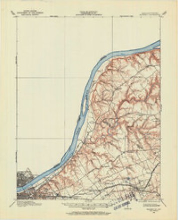
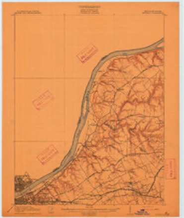
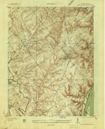
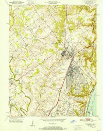
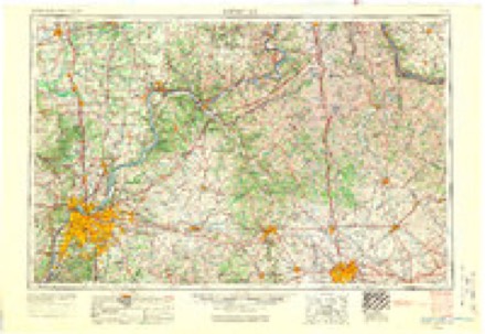
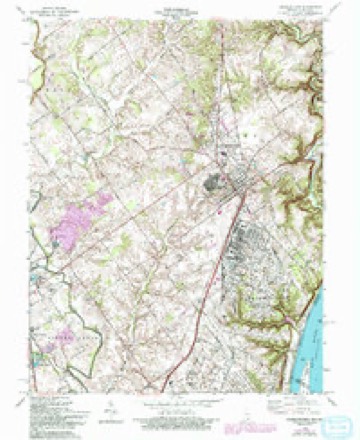
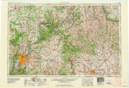
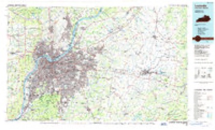
8 surveys from 15 printed sheetsMatched by testing this settlement's coordinate against the published boundary of every sheet in the United States Geological Survey's historical collection. Each opens the scanned sheet at the Survey.
- 1905 USGS Prospect quadrangle1:62500
- 1912 USGS Prospect quadrangle1:62500, 3 printings
- 1937 USGS Charlestown quadrangle1:24000
- 1950 USGS Charlestown quadrangle1:24000
- 1956 USGS Louisville quadrangle1:250000, 2 printings
- 1963 USGS Charlestown quadrangle1:24000, 4 printings
- 1964 USGS Louisville quadrangle1:250000
- 1986 USGS Louisville quadrangle1:100000, 2 printings
In the county-history sources
3,790 words on this townshipBaird's History of Clark County, Indiana, published 1909 names this settlement in its chapter on Charlestown Township. These are the passages that mention it, exactly as the scans read.
The town of Charlestown has a very prosperous and influential congregation of i\Iethodists. Of the later history of the Charlestown church but little can be learned, but its earlier history is that of the grant, as the earliest ser\'ices held in this locality were held near Charlestown. The church here is one of the three full stations in Clark county, Wall Street in Jeft'ersonville, and Port Fulton being the other two. The church building at Charlestown is a substantial brick structure. It was dedicated in 1854 by Bishop Ames. There is also a good parsonage, offering a comfortable and convenient home for the pastor. It is valued at three thousand dollars. The congregation numbers about three hundred souls.
Passage source: Baird's History of Clark County, Indiana, published 1909.
The New Washington Circuit at present consists of six chapels: New Washington, Mount Zion, New Hope, Bethlehem, Saiem and Shiloh. Salem Chapel is about three miles southeast of Charlestown and was originally Gazaways, one of the first three societies organized in the county by Benjamin Lakin. The congregation now numbers sixty. The New Washington church at New Washington is not very strong, having only thirty-seven members reported at the last conference. Mount Zion was reported as having ninety members; New Hope, twenty; Bethlehem, seventy, and Shiloh, fifty.
Passage source: Baird's History of Clark County, Indiana, published 1909.
Machine-read from a century-old scan, so expect the errors a machine makes: misspelled names, dropped words, stray characters.
Mines and quarries near this place
7 within 5 milesRegional context, not property-specific evidence. The federal mineral resources record lists 7 workings within 5 miles of Charlestown: 6 producers, 1 past producer. 6 still produce. What was taken out: Sand and Gravel, Construction, Stone, Crushed/Broken, Stone. Distance is straight-line from the map coordinates, so a quarry counted here may appear on a neighbouring settlement's page as well.
| Where | Site | Commodity | Status | Recorded |
|---|---|---|---|---|
| Charlestown Quarry | Stone | Producer | ||
| Speed Mill | Stone, Crushed/Broken | Producer | ||
| Speed Quarry | Stone, Crushed/Broken | Producer | ||
| Dredge No. 6 | Sand and Gravel, Construction | Producer | ||
| Harmony Landing | Sand and Gravel, Construction | Past Producer | ||
| Hel Del Dredge | Sand and Gravel, Construction | Producer | ||
| Hel Del Dredge | Sand and Gravel, Construction | Producer |
Storms near this place
48 since 1996Regional context, not property-specific evidence. The National Weather Service names Charlestown in 48 storm reports between 1996 and 2025: 20 hail, 18 thunderstorm wind, 7 flash flood, 2 flood. The reports record 1 death. Each account below is quoted exactly as the forecast office filed it, from the NOAA Storm Events Database, and each date opens the federal record of that event.
| When | Event | Place named | Harm | What the report says |
|---|---|---|---|---|
| July 2015 | Flood | Charlestown | 1 killed, $20,000 | The Clark County emergency manager along with several media outlets reported the drowning of a 67 year old male after he reportedly drove through a flooded roadway. Several inches of rain had fallen during the previous night, flooding a portion of Tunnel Mill Road. His vehicle was found several hours later and a search team discovered his body later that evening. |
| October 2007 | Thunderstorm Wind | Charlestown | $70,000 | Windows were blown out of a house. A carport was blown down. Thunderstorm winds picked up and moved a trailer. Two barns were destroyed. |
| April 2015 | Flash Flood | Charlestown | $40,000 | The public reported numerous flooded cars due to excessive heavy rainfall. Between 1 and 3 inches of rain fell across the county on top of very saturated ground. |
| May 2017 | Hail | Charlestown | $25,000 | Hail ranged in size from nickels to half dollar in diameter. |
| February 2008 | Thunderstorm Wind | Charlestown | $20,000 | Thunderstorm winds damaged a barn and downed trees along highway 160 near Jack Teeple Road. |
| March 2017 | Thunderstorm Wind | Charlestown | $15,000 | The public reported vinyl siding blown off a building due to severe thunderstorm winds. |
| February 2025 | Flood | Charlestown | - | Several flooded roads were reported in the Charlestown area. |
| July 2025 | Thunderstorm Wind | Charlestown | - | Multiple trees and power lines were downed in the area of 2nd, 3rd, 4th, and 5th Street and Market Street in Charlestown. |
| July 2025 | Flash Flood | Charlestown | - | Water was over the roadway at the intersection of State Road 62 and Market Street in Charlestown. Two vehicles became stuck in the water. |
| May 2024 | Thunderstorm Wind | Charlestown | - | There was roof damage, a power line down, and trees down in Clark County. |
| June 2024 | Thunderstorm Wind | Charlestown | - | A large tree fell on Main Street between Monroe and Jefferson. |
| July 2024 | Thunderstorm Wind | Charlestown | - | Trees down near Charlestown. |
| January 2023 | Hail | Charlestown | - | Quarter size hail reported north of Charlestown. Time estimated using a combination of observer's estimate and radar. |
| August 2023 | Thunderstorm Wind | Charlestown | - | A tree fell on a home. |
| June 2022 | Thunderstorm Wind | Charlestown | - | There was a downed power line hanging down over a street. |
| June 2022 | Thunderstorm Wind | Charlestown | - | Trees and large limbs were down on State Road 403. |
| May 2019 | Hail | Charlestown | - | Broadcast media reported 1 inch hail near Charlestown, Indiana. |
| March 2016 | Hail | Charlestown | - | A trained spotter reported that nickel sized hail fell for 3 minutes and covered the ground. |
| May 2016 | Hail | Charlestown | - | A trained spotter reported hail the size of quarters. |
| May 2016 | Hail | Charlestown | - | A trained spotter reported hail 1.75 inches in diameter. |
| May 2016 | Hail | Charlestown | - | A trained spotter reported quarter sized hail. |
| June 2015 | Hail | Charlestown | - | A report of 3/4 inch diameter hail was received by the public. |
| July 2015 | Flash Flood | Charlestown | - | A broadcast media meteorologist reported that Highway 3 flooded in Charlestown. Between 3 and 5 inches of rain from several rounds of thunderstorms were observed. |
| July 2015 | Flash Flood | Charlestown | - | A broadcast media meteorologist relayed a report of a flooded road in Charlestown. Between 2 and 4 inches of rain fell from several rounds of severe thunderstorms. |
| October 2014 | Thunderstorm Wind | Charlestown | - | A HAM operator relayed a report of an 18 inch diameter tree down in a yard as well as other trees down in the area. Multiple power outages were accompanied by pea sized hail. Local media also reported that at this same time, a roof was blown off of a laundromat on Park Street. A storm survey was conducted and one resident reported a small funnel cloud that didn't touch the ground. Several trees were snapped or blown down west of Charleston. The most concentrated surveyed damage lay along Locust Street and along Highway 403 near the O'Reilly auto parts store. A large Sycamore trees fell on a car parked on Water Street. The survey estimated straight line winds between 60 and 65 mph. |
| March 2012 | Thunderstorm Wind | Charlestown | - | A spotter measured a gust of 60 mph within a squall line that followed two earlier supercells that moved to the north of Charlestown. |
| September 2009 | Heavy Rain | Charlestown | - | Total rainfall between 6 am and 11 pm EST was 6.72 inches, with 5.2 inches falling after 7 pm EST. |
| September 2009 | Flash Flood | Charlestown | - | A water rescue was performed in Charlestown. |
| August 2009 | Hail | Charlestown | - | Quarter to golf ball size hail fell. |
| August 2009 | Flash Flood | Charlestown | - | High Street was closed due to flash flooding. |
| November 2005 | Flash Flood | Charlestown | - | High Jackson Road was covered by several feet of water. |
| May 2004 | Thunderstorm Wind | Charlestown | - | Numerous trees were downed. The spotter estimated a wind gust of 70 mph. |
| August 2003 | Thunderstorm Wind | Charlestown | - | Trees and power lines were downed. Pea size hail was also reported. |
| June 2001 | Thunderstorm Wind | Charlestown | - | Several trees were downed by thunderstorm winds. |
| May 1999 | Thunderstorm Wind | Charlestown | - | Trees down |
| August 2022 | Hail | Charlestown | - | no account filed |
| April 2011 | Hail | Charlestown | - | no account filed |
| April 2006 | Hail | Charlestown | - | no account filed |
| July 2005 | Thunderstorm Wind | Charlestown | - | no account filed |
| May 2004 | Hail | Charlestown | - | no account filed |
| May 2003 | Hail | Charlestown | - | no account filed |
| May 2003 | Hail | Charlestown | - | no account filed |
| May 2003 | Hail | Charlestown | - | no account filed |
| November 2002 | Hail | Charlestown | - | no account filed |
| June 2002 | Hail | Charlestown | - | no account filed |
| May 2001 | Hail | Charlestown | - | no account filed |
| April 2000 | Hail | Charlestown | - | no account filed |
| May 1996 | Thunderstorm Wind | Charlestown | - | no account filed |
Nearest settlements
The eight closest, with where each one stands in the county. Distances are straight-line, computed from the Geographic Names Information System coordinates.
| Map | Place | Distance | Sheets |
|---|---|---|---|
| Clark Siding | 1.4 miles | 15 | |
| Springville | 2.3 miles | 15 | |
| Sylvan Grove | 3.6 miles | 15 | |
| Runyantown | 3.9 miles | 17 | |
| Rolling Hills | 4.7 miles | 17 | |
| Perry Crossing | 5.0 miles | 14 | |
| Prather | 5.1 miles | 15 | |
| Slatecut | 5.1 miles | 14 |
Elsewhere
Matched on this settlement's Geographic Names Information System number rather than its name, so it cannot be a different place of the same name in another state.
| Wikipedia article on Charlestown | An encyclopaedic summary. Its text is share-alike, so it is linked here rather than copied. |
| Wikidata item Q2470373 | The structured record the population and elevation above come from. Public domain (CC0). |
Provenance
This settlement is recorded in the Geographic Names Information System as feature 432425. The sheet list is computed by point-in-boundary test against the United States Geological Survey's historical topographic inventory. Both are works of the United States government and carry no copyright under 17 U.S.C. 105.
Mines and quarries. USGS Mineral Resources Data System (MRDS) https://mrdata.usgs.gov/mrds/ A work of the United States government, no copyright under 17 U.S.C. 105.
Storms. NOAA National Centers for Environmental Information, Storm Events Database https://www.ncei.noaa.gov/stormevents/ A work of the United States government, no copyright under 17 U.S.C. 105. Narratives are quoted verbatim from the National Weather Service report and are not edited or summarised.