 Block
Coesse, Indiana
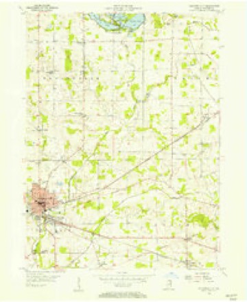
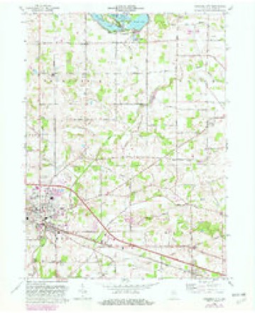
11 topographic sheets cover this place, the earliest surveyed in 1953 and the latest in 1994. It stands in Union Township. It lies in ZIP code area 46725. The Survey maps it on the Columbia City quadrangle. It stands 876 feet above sea level.
Topographic sheets covering this place
6 surveys from 11 printed sheetsMatched by testing this settlement's coordinate against the published boundary of every sheet in the United States Geological Survey's historical collection. Each opens the scanned sheet at the Survey.
- 1953 USGS Fort Wayne quadrangle1:250000, 4 printings
- 1955 USGS Columbia City quadrangle1:24000
- 1956 USGS Fort Wayne quadrangle1:250000, 2 printings
- 1965 USGS Columbia City quadrangle1:24000, 2 printings
- 1984 USGS Fort Wayne quadrangle1:100000
- 1994 USGS Fort Wayne quadrangle1:100000




In the county-history sources
1,910 words on this townshipHistory of Whitley County, Indiana, published 1907 names this settlement in its chapter on Union Township. These are the passages that mention it, exactly as the scans read.
The most interesting incidents of Indian history before and during the war of iNu center in. what is now Union township; but it is found recorded in detail in other chapters. However, the village of Coesse, in which the first house was erected in 1855, by Ji >seph Root, preserves the name of one of the latter chieftains of the Miamis. In [846 they were removed to Indian Territory, Coesse accompanying them; but he returned and died while visiting near Roanoke Indiana, where he was buried. Tal- COtt Terry was the original settler in Union township; coming .-in did Benjamin Gardner. Dr. Joseph Pierce, Horace Cleveland and ' leorge W. ( >man, in [837.
Passage source: History of Whitley County, Indiana, published 1907.
I remember well when Wise went over the country in a large balloon before the Civil war. He started at St. Louis and landed in Canada. He passed over Coesse about five o'clock in the afternoon and was so close to the ground that James Worden and Zebulon Park motioned to him and he responded. He crossed the county from the southwest to the northeast. Near South Whitlev an old woman who saw him ran into the house crying, "Jesus is coming."
Passage source: History of Whitley County, Indiana, published 1907.
Machine-read from a century-old scan, so expect the errors a machine makes: misspelled names, dropped words, stray characters.
Read the whole chapter on Union Township - it names this place 2 more 2 times.
Mines and quarries near this place
1 within 5 milesRegional context, not property-specific evidence. The federal mineral resources record lists 1 working within 5 miles of Coesse: 1 past producer. None of them still produces. What was taken out: Sand and Gravel, Construction. Distance is straight-line from the map coordinates, so a quarry counted here may appear on a neighbouring settlement's page as well.
| Where | Site | Commodity | Status | Recorded |
|---|---|---|---|---|
| Plant No. 3 | Sand and Gravel, Construction | Past Producer |
Storms near this place
3 since 1998Regional context, not property-specific evidence. The National Weather Service names Coesse in 3 storm reports between 1998 and 2011: 1 thunderstorm wind, 1 tornado, 1 hail. No death or injury is recorded in these reports. Each account below is quoted exactly as the forecast office filed it, from the NOAA Storm Events Database, and each date opens the federal record of that event.
| When | Event | Place named | Harm | What the report says |
|---|---|---|---|---|
| July 2008 | Tornado (EF0) | Coesse | $20,000 | A storm survey and eye witness reports indicated that a brief tornado developed just east of the intersection of Lincoln Way and County Road 500 East. The circulation initially flipped a horse trailer and destroyed the top portion of an older barn, picking up the roof and depositing it at the end of its track in an open field. Numerous trees were uprooted and three power poles toppled on the south side of the road, with the circulation then crossing the road. A small section of a soy bean field had the plants stripped of all vegetation except the stalks. The maximum width of the tornado was no more than 300 yards and was on the ground less than one quarter mile with duration no more than 2 minutes. Damage is estimated at around $20,000. |
| December 1998 | Thunderstorm Wind | Coesse | $10,000 | TOOL SHED ROOF TORN OFF |
| May 2011 | Hail | Coesse | - | no account filed |
Nearest settlements
The eight closest, with where each one stands in the county. Distances are straight-line, computed from the Geographic Names Information System coordinates.
| Map | Place | Distance | Sheets |
|---|---|---|---|
| Coesse Corners | 0.8 miles | 11 | |
| Raber | 3.5 miles | 11 | |
| Dunfee | 4.2 miles | 10 | |
| Collins | 4.8 miles | 11 | |
| Briggs | 4.9 miles | 11 | |
| Columbia City | 5.3 miles | 11 | |
| Walnut Corners | 5.4 miles | 11 | |
| Peabody | 5.8 miles | 11 |
Elsewhere
Matched on this settlement's Geographic Names Information System number rather than its name, so it cannot be a different place of the same name in another state.
| Wikipedia article on Coesse | An encyclopaedic summary. Its text is share-alike, so it is linked here rather than copied. |
| Wikidata item Q5140835 | The structured record the population and elevation above come from. Public domain (CC0). |
Provenance
This settlement is recorded in the Geographic Names Information System as feature 432728. The sheet list is computed by point-in-boundary test against the United States Geological Survey's historical topographic inventory. Both are works of the United States government and carry no copyright under 17 U.S.C. 105.
Mines and quarries. USGS Mineral Resources Data System (MRDS) https://mrdata.usgs.gov/mrds/ A work of the United States government, no copyright under 17 U.S.C. 105.
Storms. NOAA National Centers for Environmental Information, Storm Events Database https://www.ncei.noaa.gov/stormevents/ A work of the United States government, no copyright under 17 U.S.C. 105. Narratives are quoted verbatim from the National Weather Service report and are not edited or summarised.