 Block
Earle, Indiana
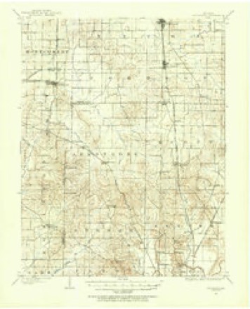
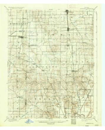
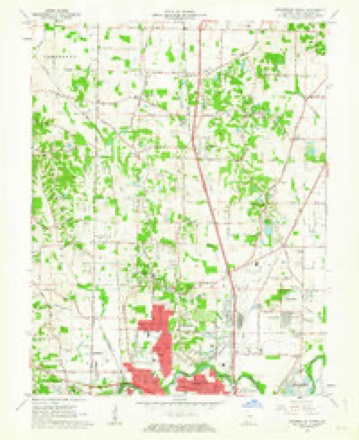
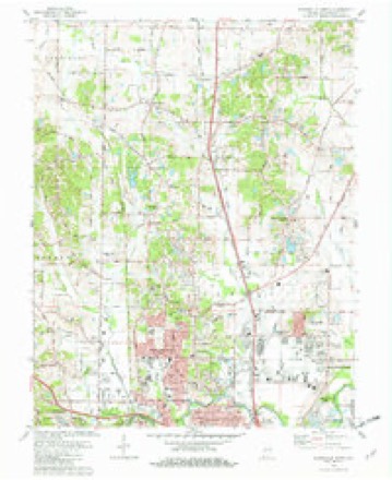
18 topographic sheets cover this place, the earliest surveyed in 1901 and the latest in 1986. It stands in Scott Township. It lies in ZIP code area 47725. The Survey maps it on the Evansville North quadrangle. It stands 453 feet above sea level.
Topographic sheets covering this place
9 surveys from 18 printed sheetsMatched by testing this settlement's coordinate against the published boundary of every sheet in the United States Geological Survey's historical collection. Each opens the scanned sheet at the Survey.
- 1901 USGS Haubstadt quadrangle1:62500
- 1903 USGS Haubstadt quadrangle1:62500, 2 printings
- 1903 USGS Patoka quadrangle1:125000, 2 printings
- 1956 USGS Vincennes quadrangle1:250000, 4 printings
- 1957 USGS Vincennes quadrangle1:250000
- 1958 USGS Vincennes quadrangle1:250000, 2 printings
- 1961 USGS Evansville North quadrangle1:24000
- 1981 USGS Evansville North quadrangle1:24000, 3 printings
- 1986 USGS Princeton quadrangle1:100000, 2 printings





In the county-history sources
10,232 words on this townshipHistory of Vanderburgh County, Indiana, from Earliest Times to the Present; with Biographical Sketches, Reminiscences, Etc, published 1889 names this settlement in its chapter on Scott Township. These are the passages that mention it, exactly as the scans read.
Towns. - On April 26, 1819, John Ingle laid out Sandersville. The plat covered 160 acres of land: and a public square 266 feet each way, was provided. An effort was made to build a town, but the project did not succeed. A number of small houses were put up, a store, a blacksmith shop, and such other conveniences as a farming community might demand were located there, and a postoffice was established. In a few years its projectors abandoned their hopes, and their supporters went to more promising localities. By 1830 the houses had all fallen into decay except the postoffice, which remained as a monument of departed glory. Inglefield, a station on the E. & T. H. R. R., is on the site of the ancient Sandersville. Darmstadt., a small place in the southwest corner of the township, has not been platted or incorporated, though for thirty years it has been in existence. It has a few country stores, a doctor, is the headquarters of the German churches in the neighborhood, and enjoys considerable business as a trading point. EarJe., on the Petersburg road, near the southern township line, is without importance except as a supply depot for a limited agricultural district. Christ Stock is the onty merchant. A small store was established here by John Grant, as early as 1850, which he subsequently sold to John Earle (an English settler who came about 182S), for whom the town was named. Chttrchcs. - The pioneer preachers early pushed their way into the new west and, regardless of all hardships and difficulties, with untiring zeal and devotion, worked in the Master's cause. Often on foot, clad in the plain garments of the huntsman, with rifle or gun on his shoulder, the preacher sought the hospitable roof of some lowly cabin and there with a thrilling description of the ineffable joys that awaited the saved, or a vivid picture of the never-ending torments of a literal hell, which would be the sure portion of the damned, sought to persuade or frighten his few hearers to flee from the wrath to come. All denominations sought for supremacy, and in many cases the war waged between the advocates of different Christian sects over theological dogmas and doctrines, was fiercer and far more bitter than that waged against the common enemy. The Baptists, Presbyterians and Methodists all struggled for a foothold. The house of John Ingle was an early preaching place for all denominations. The doctrines of the Methodist Episcopal church were more generally accepted and became more firmly rooted in the minds of the people of this township than those of any other sect. The eloquent John Schraeder was the first to lift up his voice in behalf of Methodism. The first organized class of Methodists in this township was probably that made in the Milliard neighborhood, under the leadership of John and William Hilliard, and those beloved men, Joseph and Mark Wheeler, in 1824, which flourishes to this day, having now about sixty members. At first the little confrre<ration assembled for the purpose of worship at the humble houses of its members, and at length raising a log cabin, set it apart and consecrated it as a house of God. About fifty years ago this little structure gave wa}' to a commodious frame building, more suitable to the demands of the growing congregation, which remains in use. In early times among the preachers here, were: Revs. Joseph Wheeler, Mark Wheeler, Robert Parrett, Enoch G. Ward, Ravenscroff, Hensler, and Tower. The church is on the
Passage source: History of Vanderburgh County, Indiana, from Earliest Times to the Present; with Biographical Sketches, Reminiscences, Etc, published 1889.
Machine-read from a century-old scan, so expect the errors a machine makes: misspelled names, dropped words, stray characters.
Read the whole chapter on Scott Township - it names this place 1 more 1 time.
Storms near this place
1 since 2024Regional context, not property-specific evidence. The National Weather Service names Earle in 1 storm report in 2024: 1 hail. No death or injury is recorded in these reports. Each account below is quoted exactly as the forecast office filed it, from the NOAA Storm Events Database, and each date opens the federal record of that event.
| When | Event | Place named | Harm | What the report says |
|---|---|---|---|---|
| April 2024 | Hail | Earle | - | Quarter-size hail fell east of Darnstadt as a N-S line of storms moved eastward. |
Nearest settlements
The eight closest, with where each one stands in the county. Distances are straight-line, computed from the Geographic Names Information System coordinates.
| Map | Place | Distance | Sheets |
|---|---|---|---|
| Daylight | 1.3 miles | 20 | |
| McCutchanville | 1.6 miles | 18 | |
| Hillsdale | 2.0 miles | 18 | |
| Inglefield | 2.9 miles | 18 | |
| Elliott | 3.3 miles | 20 | |
| Erskine Station | 3.4 miles | 18 | |
| Darmstadt | 3.6 miles | 18 | |
| Knob Hill | 3.7 miles | 18 |
Elsewhere
Matched on this settlement's Geographic Names Information System number rather than its name, so it cannot be a different place of the same name in another state.
| Wikipedia article on Earle | An encyclopaedic summary. Its text is share-alike, so it is linked here rather than copied. |
| Wikidata item Q5326396 | The structured record the population and elevation above come from. Public domain (CC0). |
Provenance
This settlement is recorded in the Geographic Names Information System as feature 433861. The sheet list is computed by point-in-boundary test against the United States Geological Survey's historical topographic inventory. Both are works of the United States government and carry no copyright under 17 U.S.C. 105.
Storms. NOAA National Centers for Environmental Information, Storm Events Database https://www.ncei.noaa.gov/stormevents/ A work of the United States government, no copyright under 17 U.S.C. 105. Narratives are quoted verbatim from the National Weather Service report and are not edited or summarised.