 Block
Inglefield, Indiana
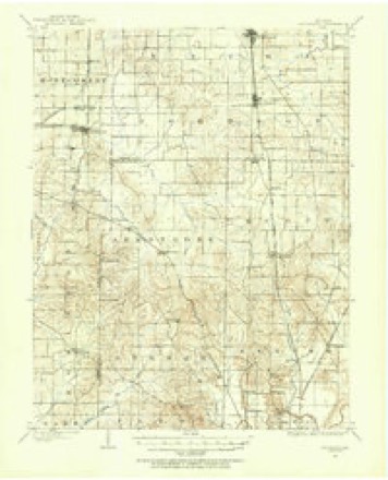
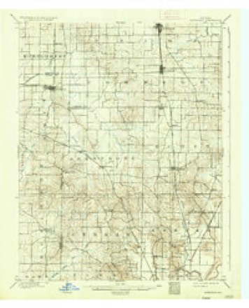
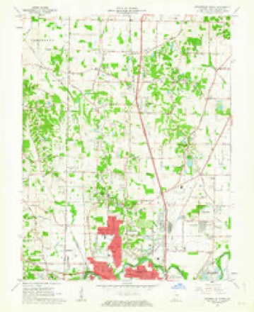
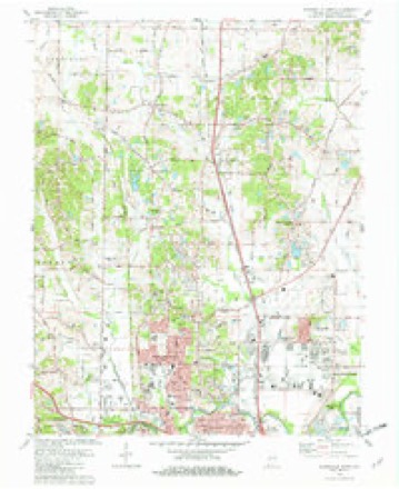
18 topographic sheets cover this place, the earliest surveyed in 1901 and the latest in 1986. It stands in Scott Township. It lies in ZIP code area 47725. The Survey maps it on the Evansville North quadrangle. It stands 472 feet above sea level.
Topographic sheets covering this place
9 surveys from 18 printed sheetsMatched by testing this settlement's coordinate against the published boundary of every sheet in the United States Geological Survey's historical collection. Each opens the scanned sheet at the Survey.
- 1901 USGS Haubstadt quadrangle1:62500
- 1903 USGS Haubstadt quadrangle1:62500, 2 printings
- 1903 USGS Patoka quadrangle1:125000, 2 printings
- 1956 USGS Vincennes quadrangle1:250000, 4 printings
- 1957 USGS Vincennes quadrangle1:250000
- 1958 USGS Vincennes quadrangle1:250000, 2 printings
- 1961 USGS Evansville North quadrangle1:24000
- 1981 USGS Evansville North quadrangle1:24000, 3 printings
- 1986 USGS Princeton quadrangle1:100000, 2 printings





In the county-history sources
10,232 words on this townshipHistory of Vanderburgh County, Indiana, from Earliest Times to the Present; with Biographical Sketches, Reminiscences, Etc, published 1889 names this settlement in its chapter on Scott Township. These are the passages that mention it, exactly as the scans read.
About a mile north of Inglefield on the Princeton road, was the clearing of James Cawson, now the Ritchey homestead. This Princeton road was a public highway established by authority of the state, but at the time these settlers came in it winded its way about through the forest and had only the smaller trees and underbrush cut out. Huge forest trees stood in its centre alon<r its entire course. Ingle's was said to be the first place on the road where a traveler could get a breakfast or a dinner; Cawson 's was the next, and then there was none till Gibson county was reached. Cawson was a man of some means and always of good repute. On his place was the Lockyear blacksmith shop, a few years later, which was about the earliest smithy in the township.
Passage source: History of Vanderburgh County, Indiana, from Earliest Times to the Present; with Biographical Sketches, Reminiscences, Etc, published 1889.
Probably the earliest settlement east of the Princeton road was that made by the Wheelers, Mark, Joseph and Richard, which was about two miles northeast of Inglefield. These were English people who became widely known as a worth}', respectable familv. Mark was a prosperous farmer, and his two brothers were best known by their devoted labors in spreading the gospel among tlie pioneers. They labored zealously, accomplished much good, and forever fixed their names in the grateful remembrance of the people. Their descendants have been eminently respectable always; as citizens there are none better. Among the industries engaged in by the farmers of early days with good profit was hog-raising. A well-known and successful farmer who grew wealthy chieflv through ihis means was David Powell. He commenced with little capital, and bv industry, economy and wise management, accumulated a valuable property. He had quite a large family, all of whom were good citizens, but attained no particular prominence. In very early days, probably about 1820, Hiram Nelson settled near the present site of Darmstadt. He was a farmer, and later opened a small store. Afterward he moved to Evansville, and was engaged as an auctioneer. He died in Evansville, leaving a widow, who still survives.
Passage source: History of Vanderburgh County, Indiana, from Earliest Times to the Present; with Biographical Sketches, Reminiscences, Etc, published 1889.
For about twenty years there were no other settlements in the eastern part of the township, and but few additions in numbers were made to those already established. In 1822 Samuel Miller came and stayed but one year. He was chief among the deer hunters; tall, lithe and as active as the animal he pursued. Arnold Henning was known among the pioneers as "a handy man to make a cradle or an ax-handle;" although his trade was that of a shoemaker, he was too fond of drink to accomplish much, and is remembered by the present generation as a good and honest, but unfortunate man.
Passage source: History of Vanderburgh County, Indiana, from Earliest Times to the Present; with Biographical Sketches, Reminiscences, Etc, published 1889.
Machine-read from a century-old scan, so expect the errors a machine makes: misspelled names, dropped words, stray characters.
Read the whole chapter on Scott Township - it names this place 13 more 13 times.
Storms near this place
6 since 2000Regional context, not property-specific evidence. The National Weather Service names Inglefield in 6 storm reports between 2000 and 2025: 2 thunderstorm wind, 1 hail, 1 funnel cloud, 1 tornado. No death or injury is recorded in these reports. Each account below is quoted exactly as the forecast office filed it, from the NOAA Storm Events Database, and each date opens the federal record of that event.
| When | Event | Place named | Harm | What the report says |
|---|---|---|---|---|
| March 2023 | Tornado (EF0) | Inglefield | $25,000 | An EF-0 tornado began just north of the community of Darmstadt, IN, in northern Vanderburgh County. Moving north-northeast, the tornado produced several downed large tree limbs and minor roof and fascia damage to a few homes along Darmstadt Road and Old Princeton Road. Peak winds were estimated near 80 mph. |
| July 2024 | Thunderstorm Wind | Inglefield | $15,000 | Thunderstorm winds sweeping through Vanderburgh County brough down wires and power poles on N St. Joseph Ave. |
| May 2000 | Thunderstorm Wind | Inglefield | $10,000 | A thunderstorm microburst damaged a residence in the northeast corner of the county, just off U.S. Route 57. Windows were blown out of a garage, and large trees and limbs were down. |
| July 2025 | Flood | Inglefield | - | Standing water covered the roads at Old State Rd and Baseline Rd. |
| July 2018 | Funnel Cloud | Inglefield | - | Numerous photos were taken of a funnel cloud over the area of U.S. Highway 41 in northern Vanderburgh County. The parent cell was a weak shower or thunderstorm. |
| May 2000 | Hail | Inglefield | - | no account filed |
Nearest settlements
The eight closest, with where each one stands in the county. Distances are straight-line, computed from the Geographic Names Information System coordinates.
| Map | Place | Distance | Sheets |
|---|---|---|---|
| Darmstadt | 1.2 miles | 18 | |
| Hillsdale | 1.8 miles | 18 | |
| Stacer | 2.8 miles | 17 | |
| Earle | 2.9 miles | 18 | |
| McCutchanville | 3.5 miles | 18 | |
| Daylight | 3.8 miles | 20 | |
| Crossroads (historical) | 4.6 miles | 19 | |
| Elliott | 4.7 miles | 20 |
Elsewhere
Matched on this settlement's Geographic Names Information System number rather than its name, so it cannot be a different place of the same name in another state.
| Wikipedia article on Inglefield | An encyclopaedic summary. Its text is share-alike, so it is linked here rather than copied. |
| Wikidata item Q6032569 | The structured record the population and elevation above come from. Public domain (CC0). |
Provenance
This settlement is recorded in the Geographic Names Information System as feature 436817. The sheet list is computed by point-in-boundary test against the United States Geological Survey's historical topographic inventory. Both are works of the United States government and carry no copyright under 17 U.S.C. 105.
Storms. NOAA National Centers for Environmental Information, Storm Events Database https://www.ncei.noaa.gov/stormevents/ A work of the United States government, no copyright under 17 U.S.C. 105. Narratives are quoted verbatim from the National Weather Service report and are not edited or summarised.