 Block
Edgerton, Indiana
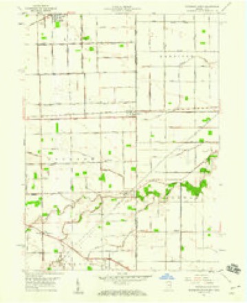
11 topographic sheets cover this place, the earliest surveyed in 1953 and the latest in 1992. It stands in Jackson Township. It lies in ZIP code area 46797. The Survey maps it on the Woodburn South quadrangle. It stands 748 feet above sea level.
Topographic sheets covering this place
5 surveys from 11 printed sheetsMatched by testing this settlement's coordinate against the published boundary of every sheet in the United States Geological Survey's historical collection. Each opens the scanned sheet at the Survey.
- 1953 USGS Fort Wayne quadrangle1:250000, 4 printings
- 1956 USGS Fort Wayne quadrangle1:250000, 2 printings
- 1958 USGS Woodburn South quadrangle1:24000, 3 printings
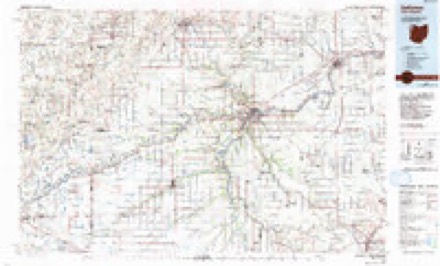
- 1986 USGS Defiance quadrangle1:100000
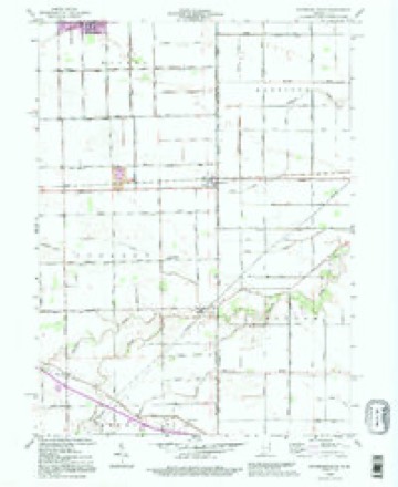
- 1992 USGS Woodburn South quadrangle1:24000


In the county-history sources
2,058 words on this townshipHistory of Allen County, Indiana., published 1880; Valley of the Upper Maumee River, with Historical Account of Allen County and the City of Fort Wayne, Indiana, published 1889 has no passage naming this settlement, which was common for smaller places. Its township is covered in full.
The chapter on Jackson Township covers the township.
Read the chapter on Jackson Township - 2,058 words.
Mines and quarries near this place
1 within 5 milesRegional context, not property-specific evidence. The federal mineral resources record lists 1 working within 5 miles of Edgerton: 1 producer. All of them still produce. What was taken out: Stone, Crushed/Broken. Distance is straight-line from the map coordinates, so a quarry counted here may appear on a neighbouring settlement's page as well.
| Where | Site | Commodity | Status | Recorded |
|---|---|---|---|---|
| Edgerton Quarry | Stone, Crushed/Broken | Producer |
Storms near this place
2 since 2013Regional context, not property-specific evidence. The National Weather Service names Edgerton in 2 storm reports between 2013 and 2015: 1 flash flood, 1 flood. No death or injury is recorded in these reports. Each account below is quoted exactly as the forecast office filed it, from the NOAA Storm Events Database, and each date opens the federal record of that event.
| When | Event | Place named | Harm | What the report says |
|---|---|---|---|---|
| July 2015 | Flood | Edgerton | - | Allen County Highway Department reports Rorick Road from Lortie Road to Moore Road is closed due to a wash-out. |
| June 2013 | Flash Flood | Edgerton | - | Significant flash flooding occurred throughout Allen County during the early morning hours of June 1 as a result of three to five inches of rain falling within a few hours, especially across northern portions of Fort Wayne and surrounding communities. Numerous roads and intersections were closed due to high water. Many homes are affected by high water from private yards and ditches. Local official rescued several drivers from their stalled vehicles in flood waters, some over a foot deep. Several roads were washed out, including Lake Avenue, near Reed Rd. An apartment complex in this same area had to be evacuated due to high water. Much of the flooding occurred as a result of Spy Run Creek quickly overflowing its banks. The Fort Wayne Children's Zoo was closed for a day as high waters inundated the grounds, forcing the evacuation of nearly a thousand animals. Science Central also suffered flooding damage in a undeveloped portion of the building as well as parking facilities. This forced the closure of the site for June 1st. Damage estimates have not been received. |
Nearest settlements
The eight closest, with where each one stands in the county. Distances are straight-line, computed from the Geographic Names Information System coordinates.
| Map | Place | Distance | Sheets |
|---|---|---|---|
| Woodburn | 4.2 miles | 11 | |
| Townley | 5.1 miles | 11 | |
| Zulu | 5.3 miles | 11 | |
| Four Presidents Corners | 5.4 miles | 11 | |
| Tillman | 5.9 miles | 11 | |
| Bluecast | 6.3 miles | 11 | |
| Monroeville | 7.8 miles | 14 | |
| Five Points | 7.8 miles | 11 |
Elsewhere
Matched on this settlement's Geographic Names Information System number rather than its name, so it cannot be a different place of the same name in another state.
| Wikipedia article on Edgerton | An encyclopaedic summary. Its text is share-alike, so it is linked here rather than copied. |
| Wikidata item Q5337811 | The structured record the population and elevation above come from. Public domain (CC0). |
Provenance
This settlement is recorded in the Geographic Names Information System as feature 452039. The sheet list is computed by point-in-boundary test against the United States Geological Survey's historical topographic inventory. Both are works of the United States government and carry no copyright under 17 U.S.C. 105.
Mines and quarries. USGS Mineral Resources Data System (MRDS) https://mrdata.usgs.gov/mrds/ A work of the United States government, no copyright under 17 U.S.C. 105.
Storms. NOAA National Centers for Environmental Information, Storm Events Database https://www.ncei.noaa.gov/stormevents/ A work of the United States government, no copyright under 17 U.S.C. 105. Narratives are quoted verbatim from the National Weather Service report and are not edited or summarised.