 Block
Tillman, Indiana
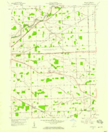
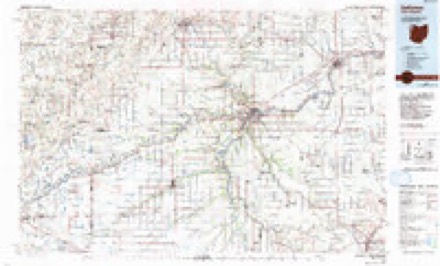
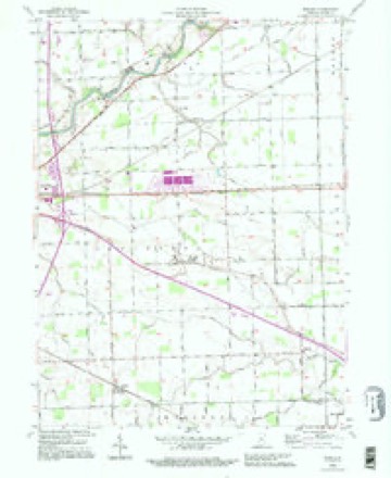
11 topographic sheets cover this place, the earliest surveyed in 1953 and the latest in 1992. It stands in Jefferson Township. It lies in ZIP code area 46773. The Survey maps it on the Maples quadrangle. It stands 778 feet above sea level.
Topographic sheets covering this place
5 surveys from 11 printed sheetsMatched by testing this settlement's coordinate against the published boundary of every sheet in the United States Geological Survey's historical collection. Each opens the scanned sheet at the Survey.
- 1953 USGS Fort Wayne quadrangle1:250000, 4 printings
- 1956 USGS Fort Wayne quadrangle1:250000, 2 printings
- 1957 USGS Maples quadrangle1:24000, 3 printings
- 1986 USGS Defiance quadrangle1:100000
- 1992 USGS Maples quadrangle1:24000


In the county-history sources
3,124 words on this townshipHistory of Allen County, Indiana., published 1880 names this settlement in its chapter on Jefferson Township. These are the passages that mention it, exactly as the scans read.
Mr. Blackmure came in the fall of 1833, and settled on Section 7, where he remained but a short time. He sold his land and moved to another locality. Later in the same fall, William Henderson purchased a tract of land, which he sold after making a small clearing.
Passage source: History of Allen County, Indiana., published 1880.
Henry Castleman settled near the center of the township in 1835 or 1836. In 1847, he removed to Monroe Township, where he remained until death. Among others who settled in the township at an early day, were Jeremiah Lusey, Jesse Adams (formerly of Adams Township), Thomas McDougall, John Mona¬ han, John Broderick, Dennis Keefe, Jeremiah Harrington, John McCarthy, - Berry, John Tillman and George Snyder.
Passage source: History of Allen County, Indiana., published 1880.
Machine-read from a century-old scan, so expect the errors a machine makes: misspelled names, dropped words, stray characters.
Mines and quarries near this place
1 within 5 milesRegional context, not property-specific evidence. The federal mineral resources record lists 1 working within 5 miles of Tillman: 1 producer. All of them still produce. What was taken out: Stone, Crushed/Broken. Distance is straight-line from the map coordinates, so a quarry counted here may appear on a neighbouring settlement's page as well.
| Where | Site | Commodity | Status | Recorded |
|---|---|---|---|---|
| Edgerton Quarry | Stone, Crushed/Broken | Producer |
Storms near this place
1 since 2019Regional context, not property-specific evidence. The National Weather Service names Tillman in 1 storm report in 2019: 1 hail. No death or injury is recorded in these reports. Each account below is quoted exactly as the forecast office filed it, from the NOAA Storm Events Database, and each date opens the federal record of that event.
| When | Event | Place named | Harm | What the report says |
|---|---|---|---|---|
| May 2019 | Hail | Tillman | - | no account filed |
Nearest settlements
The eight closest, with where each one stands in the county. Distances are straight-line, computed from the Geographic Names Information System coordinates.
| Map | Place | Distance | Sheets |
|---|---|---|---|
| Zulu | 0.9 miles | 11 | |
| Townley | 1.6 miles | 11 | |
| Four Presidents Corners | 2.4 miles | 11 | |
| Monroeville | 3.7 miles | 14 | |
| Maples | 4.1 miles | 11 | |
| Boston Corner | 5.2 miles | 12 | |
| Edgerton | 5.9 miles | 11 | |
| East Liberty | 6.3 miles | 14 |
Elsewhere
Matched on this settlement's Geographic Names Information System number rather than its name, so it cannot be a different place of the same name in another state.
| Wikipedia article on Tillman | An encyclopaedic summary. Its text is share-alike, so it is linked here rather than copied. |
| Wikidata item Q7802869 | The structured record the population and elevation above come from. Public domain (CC0). |
Provenance
This settlement is recorded in the Geographic Names Information System as feature 444761. The sheet list is computed by point-in-boundary test against the United States Geological Survey's historical topographic inventory. Both are works of the United States government and carry no copyright under 17 U.S.C. 105.
Mines and quarries. USGS Mineral Resources Data System (MRDS) https://mrdata.usgs.gov/mrds/ A work of the United States government, no copyright under 17 U.S.C. 105.
Storms. NOAA National Centers for Environmental Information, Storm Events Database https://www.ncei.noaa.gov/stormevents/ A work of the United States government, no copyright under 17 U.S.C. 105. Narratives are quoted verbatim from the National Weather Service report and are not edited or summarised.