 Block
Fairfield, Indiana
17 topographic sheets cover this place, the earliest surveyed in 1915 and the latest in 1986. It stands in Fairfield Township. It lies in ZIP code area 47012. It stands on Salt Well Creek. The Survey maps it on the New Fairfield quadrangle. It stands 738 feet above sea level.
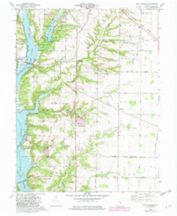
Topographic sheets covering this place
8 surveys from 17 printed sheetsMatched by testing this settlement's coordinate against the published boundary of every sheet in the United States Geological Survey's historical collection. Each opens the scanned sheet at the Survey.
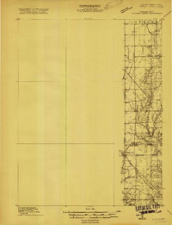
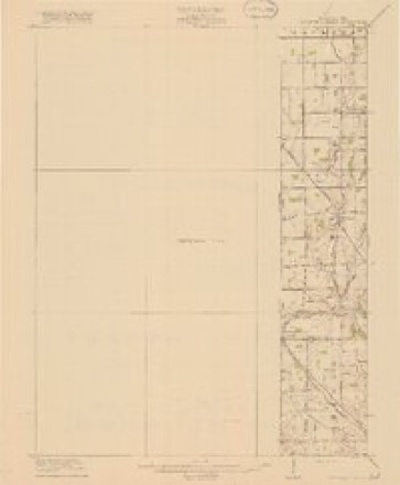
- 1915 USGS College Corner quadrangle1:48000
- 1918 USGS College Corner quadrangle1:62500, 4 printings
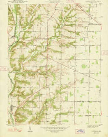
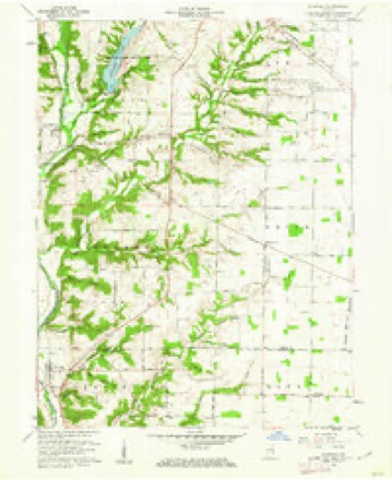
- 1948 USGS Fairfield quadrangle1:24000
- 1953 USGS Cincinnati quadrangle1:250000, 3 printings
- 1957 USGS Cincinnati quadrangle1:250000
- 1960 USGS Fairfield quadrangle1:24000, 2 printings
- 1974 USGS New Fairfield quadrangle1:24000, 3 printings
- 1986 USGS Dayton quadrangle1:100000, 2 printings


In the county-history sources
5,732 words on this townshipHistory of Franklin County, Indiana : Her People, Industries and Institutions, published 1915 names this settlement in its chapter on Fairfield Township. These are the passages that mention it, exactly as the scans read.
In 1816, or possibly 18 17, Thomas Eads ("father of the now worldfamed Captain Eads of jetty fame, the man who built the great steel bridge at St. Louis) conimcnced merchandising at Fairrield. Messrs. Emerson, Drew and Rose succeeded Eads in the store. Rose always claimed to have built tlie fir^t frame house in Fairfield.
Passage source: History of Franklin County, Indiana : Her People, Industries and Institutions, published 1915.
Fairfield has had its share of fires and consequent loss of property. Commencing in 1859, the block from where IMiller & Tyner's store is now located to the Odd Fellows' hall was destroyed by fire. This fire swept away the old hotel. Doctor Babb's drug store. Wash Adams' tailor shop, a shoe shop, harness shop and furniture store.
Passage source: History of Franklin County, Indiana : Her People, Industries and Institutions, published 1915.
Fairfield was once a rival for county-scat honors in Frankliii-r'nion counties. Before the rlivision of the counties, lion. Mr. McCarthy was elected as representative to the Lejjislature. and during his term of office the matter of creating- a new county came up and, finding that the bill was to pass, making what is now known as i'"ranklin county, he, though elected by the votes of the upper portion of the county, saw more money for himself in aiding Brookville to secure the county seat. He had friends purchase a large amount of lands in and near lirookville, and thus what had been planned from the early date, namely, to make Fairfield t!ie scat of justice, fell through and Brookville was awarded the honors, so state the citizens of Fairfield. Before the division of the county, Fairfi.cld was nearer the center of the territory than was Brookville.
Passage source: History of Franklin County, Indiana : Her People, Industries and Institutions, published 1915.
Machine-read from a century-old scan, so expect the errors a machine makes: misspelled names, dropped words, stray characters.
Read the whole chapter on Fairfield Township - it names this place 4 more 4 times.
Storms near this place
1 since 2025Regional context, not property-specific evidence. The National Weather Service names Fairfield in 1 storm report in 2025: 1 thunderstorm wind. No death or injury is recorded in these reports. Each account below is quoted exactly as the forecast office filed it, from the NOAA Storm Events Database, and each date opens the federal record of that event.
| When | Event | Place named | Harm | What the report says |
|---|---|---|---|---|
| June 2025 | Thunderstorm Wind | New Fairfield | $1,000 | A tree was downed near State Route 101. |
Nearest settlements
The eight closest, with where each one stands in the county. Distances are straight-line, computed from the Geographic Names Information System coordinates.
| Map | Place | Distance | Sheets |
|---|---|---|---|
| Lakeshore Resort | 1.4 miles | 11 | |
| New Fairfield | 1.5 miles | 17 | |
| Blooming Grove | 3.8 miles | 11 | |
| Pinhook | 4.2 miles | 11 | |
| Old Bath | 5.6 miles | 17 | |
| Whitcomb | 5.8 miles | 13 | |
| Brookville | 6.7 miles | 10 | |
| Yellow Bank | 6.8 miles | 10 |
Elsewhere
Matched on this settlement's Geographic Names Information System number rather than its name, so it cannot be a different place of the same name in another state.
| Wikipedia article on Fairfield | An encyclopaedic summary. Its text is share-alike, so it is linked here rather than copied. |
| Wikidata item Q104846263 | The structured record the population and elevation above come from. Public domain (CC0). |
Provenance
This settlement is recorded in the Geographic Names Information System as feature 452139. The sheet list is computed by point-in-boundary test against the United States Geological Survey's historical topographic inventory. Both are works of the United States government and carry no copyright under 17 U.S.C. 105.
Storms. NOAA National Centers for Environmental Information, Storm Events Database https://www.ncei.noaa.gov/stormevents/ A work of the United States government, no copyright under 17 U.S.C. 105. Narratives are quoted verbatim from the National Weather Service report and are not edited or summarised.