 Block
Fishersburg, Indiana
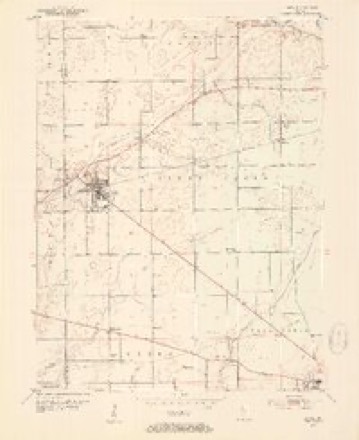
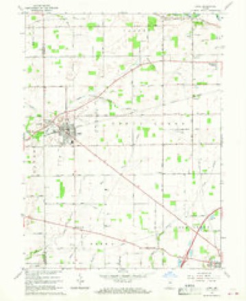
13 topographic sheets cover this place, the earliest surveyed in 1953 and the latest in 1986. It stands in Stony Creek Township. It lies in ZIP code area 46051. The Survey maps it on the Lapel quadrangle. It stands 846 feet above sea level.
Topographic sheets covering this place
5 surveys from 13 printed sheetsMatched by testing this settlement's coordinate against the published boundary of every sheet in the United States Geological Survey's historical collection. Each opens the scanned sheet at the Survey.
- 1953 USGS Lapel quadrangle1:24000, 2 printings
- 1953 USGS Muncie quadrangle1:250000, 5 printings
- 1956 USGS Muncie quadrangle1:250000
- 1967 USGS Lapel quadrangle1:24000, 2 printings
- 1986 USGS Muncie quadrangle1:100000, 3 printings



Mines and quarries near this place
5 within 5 milesRegional context, not property-specific evidence. The federal mineral resources record lists 5 workings within 5 miles of Fishersburg: 3 producers, 1 occurrence, 1 past producer. 3 still produce. What was taken out: Stone, Crushed/Broken, Zinc, Sulfur, Sand and Gravel, Construction. Distance is straight-line from the map coordinates, so a quarry counted here may appear on a neighbouring settlement's page as well.
| Where | Site | Commodity | Status | Recorded |
|---|---|---|---|---|
| Southard Pit | Sand and Gravel, Construction | Producer | ||
| Sphalerite Occurrence Z80 | Zinc, Sulfur | Occurrence | Sphalerite | |
| Lapel Mine & Mill | Stone, Crushed/Broken | Producer | ||
| Lapel Quarry | Stone, Crushed/Broken | Past Producer | ||
| Stony Creek Stone Company Ops | Stone, Crushed/Broken | Producer |
Storms near this place
3 since 2015Regional context, not property-specific evidence. The National Weather Service names Fishersburg in 3 storm reports between 2015 and 2025: 1 flash flood, 1 thunderstorm wind, 1 tornado. No death or injury is recorded in these reports. Each account below is quoted exactly as the forecast office filed it, from the NOAA Storm Events Database, and each date opens the federal record of that event.
| When | Event | Place named | Harm | What the report says |
|---|---|---|---|---|
| April 2025 | Tornado (EF1) | Fishersburg | $400,000 | This seventh tornado to impact central Indiana was the second of five tornadoes spawned within Madison County and Delaware County. This longer track tornado sliced across west-central and central Madison County, from a field just north of Fishersburg to near the community of Prosperity, about four miles north of Anderson. The circulation tracked to the northeast until after crossing the White River when it tracked in a north-northeasterly direction. At a farm north-northeast of Fishersburg several barns and a grain silo sustained damage, with an L-shaped poll barn destroyed. Wind from the circulation blew in a south-facing garage door, then lifted the roof which collapsed walls. Sporadic damage occurred along the remaining 10.5 miles of the vortex's path. Peak wind gusts were 110 mph. |
| July 2023 | Thunderstorm Wind | Fishersburg | $2,000 | Thunderstorm winds downed a tree onto Indiana Route 32 at 9600 West. |
| June 2015 | Flash Flood | Fishersburg | $1,000 | Numerous road closures were reported due to high water from heavy thunderstorm rainfall, including State Road 13 at County Road 100 South. |
Nearest settlements
The eight closest, with where each one stands in the county. Distances are straight-line, computed from the Geographic Names Information System coordinates.
| Map | Place | Distance | Sheets |
|---|---|---|---|
| Lapel | 0.6 miles | 13 | |
| Hardscrabble | 3.7 miles | 13 | |
| Bloomer | 4.9 miles | 13 | |
| Perkinsville | 5.0 miles | 11 | |
| Hamilton | 5.3 miles | 13 | |
| Edgewood Village | 6.0 miles | 13 | |
| South Edgewood | 6.9 miles | 14 | |
| Edgewood | 7.0 miles | 14 |
Elsewhere
Matched on this settlement's Geographic Names Information System number rather than its name, so it cannot be a different place of the same name in another state.
| Wikipedia article on Fishersburg | An encyclopaedic summary. Its text is share-alike, so it is linked here rather than copied. |
| Wikidata item Q5454946 | The structured record the population and elevation above come from. Public domain (CC0). |
Provenance
This settlement is recorded in the Geographic Names Information System as feature 449656. The sheet list is computed by point-in-boundary test against the United States Geological Survey's historical topographic inventory. Both are works of the United States government and carry no copyright under 17 U.S.C. 105.
Mines and quarries. USGS Mineral Resources Data System (MRDS) https://mrdata.usgs.gov/mrds/ A work of the United States government, no copyright under 17 U.S.C. 105.
Storms. NOAA National Centers for Environmental Information, Storm Events Database https://www.ncei.noaa.gov/stormevents/ A work of the United States government, no copyright under 17 U.S.C. 105. Narratives are quoted verbatim from the National Weather Service report and are not edited or summarised.