 Block
Hamilton, Indiana
14 topographic sheets cover this place, the earliest surveyed in 1939 and the latest in 1992. It stands in Otsego Township. It lies in ZIP code area 46742. It lies near Shag Island. The Survey maps it on the Hamilton quadrangle. 1,529 people lived here at the 2020 count. It stands 902 feet above sea level.
Population over time
2 figuresHamilton fell from 1,532 to 1,529 between 2010 and 2020. These are the recorded population figures Wikidata holds for this place, reached through the Geographic Names Information System number this page is keyed on rather than by name, so they belong to this place and not to another of the same name. Most are census counts, but not all are: an early figure may be a founding or settlement estimate, and an estimate published within five years of a census is left out. The change column is computed, and is left blank where more than 20 years separate a figure from the one before it, because a gap that long is not a change between two counts.
| Year | People | Change |
|---|---|---|
| 2010 | 1,532 | |
| 2020 | 1,529 | -3 (-0%) |
Topographic sheets covering this place
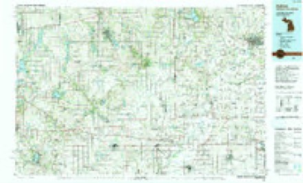
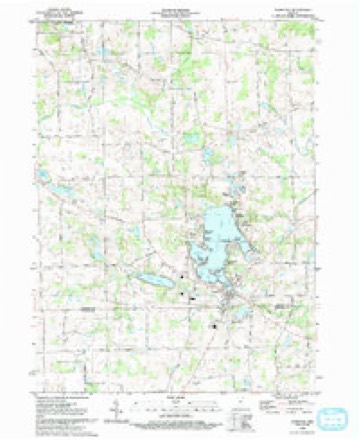
8 surveys from 14 printed sheetsMatched by testing this settlement's coordinate against the published boundary of every sheet in the United States Geological Survey's historical collection. Each opens the scanned sheet at the Survey.
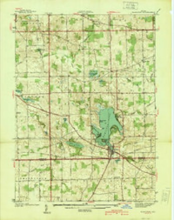
- 1939 USGS Hamilton quadrangle1:24000
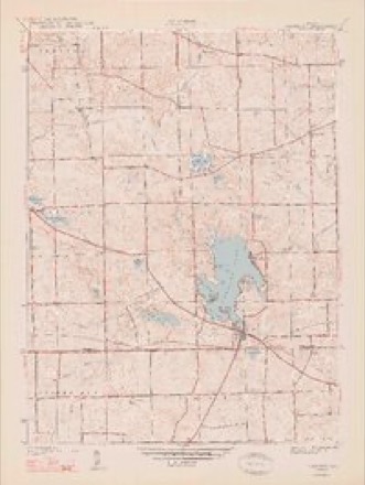
- 1948 USGS Hamilton quadrangle1:24000, 2 printings
- 1953 USGS Fort Wayne quadrangle1:250000, 4 printings
- 1956 USGS Fort Wayne quadrangle1:250000, 2 printings
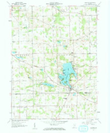
- 1959 USGS Hamilton quadrangle1:24000, 2 printings
- 1985 USGS Adrian quadrangle1:100000
- 1990 USGS Adrian quadrangle1:100000
- 1992 USGS Hamilton quadrangle1:24000


In the county-history sources
19,675 words on this townshipHistory of Steuben County, Indiana, Together with... Biographies of Representative Citizens, published 1885 names this settlement in its chapter on Otsego Township. These are the passages that mention it, exactly as the scans read.
In 1836 Nicanor Munson entered a tract of land including the wattr-power made by the outlet of Fish Lake, in all several hundred acres. The plat of Hamilton village is on this entry. Mr. Munson sold out soon after to Dr. Tuttle, agent of a company of Eastern capitalists styled " Steuben City Company." A town was platted called Enterprise, and lots were ofl:ered for sale. The company commenced improving the power here soon after. Sydney P. Gambia located here in 1837, built a house, store and stocked it, also built an ashery. The first frame house is said to have been built by Alfred Dunham. Dr. Tuttle resided here for a time, acting as agent for the company. He was succeeded by Mr. Gambia, who built for the company a grist-mill, and some years later bought the water-power of the company, and a large portion of their lands. The grist-mill, after several years of operation, was torn down. A saw-mill was erected in the early days on the site of the present flouring-mill.
Passage source: History of Steuben County, Indiana, Together with... Biographies of Representative Citizens, published 1885.
Reubi3n Lint kept hotel and liquor in the pioneer days. It is claimed by Mrs. John Fee that the first building ever erected where Hamilton now stands was a log house built by John Quicksill, a New Yark man. She cooked the dinner for the help and carried it herself to them. The growth of the village (which was called
Passage source: History of Steuben County, Indiana, Together with... Biographies of Representative Citizens, published 1885.
Hamilton not very long after the Steuben City Company sold to Gambia) did not equal the fond anticipations o^ its projectors; far from it. Still it attaine'd considerable prominence in the new county. It is claimed that the first postoffice established in Steuben County was located here, and Oscar Gambia was the first Postmaster,
Passage source: History of Steuben County, Indiana, Together with... Biographies of Representative Citizens, published 1885.
Machine-read from a century-old scan, so expect the errors a machine makes: misspelled names, dropped words, stray characters.
Read the whole chapter on Otsego Township - it names this place 11 more 11 times.
Mines and quarries near this place
1 within 5 milesRegional context, not property-specific evidence. The federal mineral resources record lists 1 working within 5 miles of Hamilton: 1 producer. All of them still produce. What was taken out: Sand and Gravel, Construction. Distance is straight-line from the map coordinates, so a quarry counted here may appear on a neighbouring settlement's page as well.
| Where | Site | Commodity | Status | Recorded |
|---|---|---|---|---|
| Flegal Sand and Gravel Pit | Sand and Gravel, Construction | Producer |
Storms near this place
7 since 1998Regional context, not property-specific evidence. The National Weather Service names Hamilton in 7 storm reports between 1998 and 2011: 4 thunderstorm wind, 3 hail. No death or injury is recorded in these reports. Each account below is quoted exactly as the forecast office filed it, from the NOAA Storm Events Database, and each date opens the federal record of that event.
| When | Event | Place named | Harm | What the report says |
|---|---|---|---|---|
| June 2010 | Thunderstorm Wind | Hamilton | - | A trained spotter reported tree limbs were blown down. |
| September 2002 | Thunderstorm Wind | Hamilton | - | HAM radio operators reported several large tree limbs down. |
| September 2001 | Thunderstorm Wind | Hamilton | - | Tree blown down. |
| May 2011 | Hail | Hamilton | - | no account filed |
| June 2010 | Thunderstorm Wind | Hamilton | - | no account filed |
| April 1999 | Hail | Hamilton | - | no account filed |
| June 1998 | Hail | Hamilton | - | no account filed |
Nearest settlements
The eight closest, with where each one stands in the county. Distances are straight-line, computed from the Geographic Names Information System coordinates.
| Map | Place | Distance | Sheets |
|---|---|---|---|
| Island Park | 0.7 miles | 14 | |
| Penn Park | 0.9 miles | 14 | |
| Oakwood | 1.1 miles | 14 | |
| Circle Park | 1.1 miles | 14 | |
| Forest Park | 1.3 miles | 14 | |
| Russels Point | 1.5 miles | 14 | |
| Cold Springs | 1.5 miles | 14 | |
| Clarks Landing | 1.8 miles | 14 |
Elsewhere
Matched on this settlement's Geographic Names Information System number rather than its name, so it cannot be a different place of the same name in another state.
| Wikipedia article on Hamilton | An encyclopaedic summary. Its text is share-alike, so it is linked here rather than copied. |
| Wikidata item Q2161311 | The structured record the population and elevation above come from. Public domain (CC0). |
Provenance
This settlement is recorded in the Geographic Names Information System as feature 435635. The sheet list is computed by point-in-boundary test against the United States Geological Survey's historical topographic inventory. Both are works of the United States government and carry no copyright under 17 U.S.C. 105.
Mines and quarries. USGS Mineral Resources Data System (MRDS) https://mrdata.usgs.gov/mrds/ A work of the United States government, no copyright under 17 U.S.C. 105.
Storms. NOAA National Centers for Environmental Information, Storm Events Database https://www.ncei.noaa.gov/stormevents/ A work of the United States government, no copyright under 17 U.S.C. 105. Narratives are quoted verbatim from the National Weather Service report and are not edited or summarised.