 Block
Harristown, Indiana
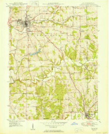
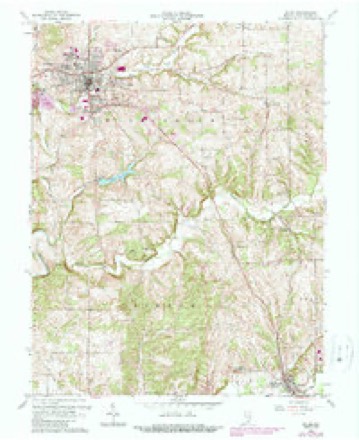
15 topographic sheets cover this place, the earliest surveyed in 1950 and the latest in 1990. It stands in Washington Township. It lies in ZIP code area 47167. The Survey maps it on the Salem quadrangle.
Topographic sheets covering this place
7 surveys from 15 printed sheetsMatched by testing this settlement's coordinate against the published boundary of every sheet in the United States Geological Survey's historical collection. Each opens the scanned sheet at the Survey.
- 1950 USGS Salem quadrangle1:24000, 2 printings
- 1956 USGS Vincennes quadrangle1:250000, 4 printings
- 1957 USGS Vincennes quadrangle1:250000
- 1958 USGS Vincennes quadrangle1:250000, 2 printings
- 1963 USGS Salem quadrangle1:24000, 4 printings
- 1986 USGS Bedford quadrangle1:100000
- 1990 USGS Bedford quadrangle1:100000



What happened here
An account from the chapter on Washington township. The inset identifies its exact source book and publication year.
A Skirmish With The Indians
The Zink families came to the county at an early date and figured pnimineiitlv in the development of the country. They located down Blue river southwest of Salem in 1814. Daniel Zink, a Revolutionary soldier, came from Kentucky with several of his boys. One of them, John Zink. was a meml)er ui (.'(ilonel Dawalt's company of rangers which chased the Indians engaged in the rigeoii Rdost massacre.
In the county-history sources
12,709 words on this townshipFirst Educational Report, Washington County, Indiana : Containing Photographic Illustrations, Superintendents', Principals', Teachers', and Citizens' Reports of the Educational Work in the County, published 1915 names this settlement in its chapter on Washington Township. These are the passages that mention it, exactly as the scans read.
I do not feel justified in using the time allotted me in mere review of what I have done or failed to do. I deem it the time of rendering thanks. These six years of varied experience have been ushered into the past and whatever I might now say could not change their reality. I also recognize that whatever has been accomplished was made so by the help of others. And, too, I am not unmindful that friends would still smile and those unfriendly still frown regardless of what might here be said. I want then to render thanks to-day to those who have helped me in this great work. In doing so, I wish to offer my sincere thanks to my predecessors in office. To my knowledge I have never been unduly criticized by them.
Passage source: First Educational Report, Washington County, Indiana : Containing Photographic Illustrations, Superintendents', Principals', Teachers', and Citizens' Reports of the Educational Work in the County, published 1915.
While I have tried to do my best in every line of the work, still I am free to confess my greatest delight has been in the school work. I hope you will not count it boastful when I say I firmly believe the school work has never been higher in Franklin Township than now. It would be extreme egotism should I say it is because of my own efforts. I have every reason to believe the honor belongs to the teaching force. As evidence, I need only recall that when teachers of the highest order were in demand and important positions were to be filled, teachers of this township have been sought, some of whom are now filling with credit these places both within and without the State.
Passage source: First Educational Report, Washington County, Indiana : Containing Photographic Illustrations, Superintendents', Principals', Teachers', and Citizens' Reports of the Educational Work in the County, published 1915.
Machine-read from a century-old scan, so expect the errors a machine makes: misspelled names, dropped words, stray characters.
Read the whole chapter on Washington Township - it names this place 1 more 1 time.
Mines and quarries near this place
2 within 5 milesRegional context, not property-specific evidence. The federal mineral resources record lists 2 workings within 5 miles of Harristown: 1 producer, 1 past producer. 1 still produces. What was taken out: Sand and Gravel, Construction, Stone, Crushed/Broken. Distance is straight-line from the map coordinates, so a quarry counted here may appear on a neighbouring settlement's page as well.
| Where | Site | Commodity | Status | Recorded |
|---|---|---|---|---|
| H & L Gravel and Sand Pit | Sand and Gravel, Construction | Producer | ||
| Salem East Quarry | Stone, Crushed/Broken | Past Producer |
Storms near this place
3 since 2013Regional context, not property-specific evidence. The National Weather Service names Harristown in 3 storm reports between 2013 and 2024: 2 thunderstorm wind, 1 lightning. No death or injury is recorded in these reports. Each account below is quoted exactly as the forecast office filed it, from the NOAA Storm Events Database, and each date opens the federal record of that event.
| When | Event | Place named | Harm | What the report says |
|---|---|---|---|---|
| July 2014 | Lightning | Harristown | $100,000 | Lightning struck a church just east of Salem, starting a fire. Damage was contained to just a portion of the building, but water and smoke damage was extensive. |
| January 2013 | Thunderstorm Wind | Harristown | $50,000 | A storm survey confirmed that straight line winds estimated at 75 mph damaged the roof of a double wide trailer along State Highway 160 east of Salem. One barn was destroyed and another barn was damaged. This downburst covered an area roughly three tenths of a mile long and around 100 feet wide. |
| July 2024 | Thunderstorm Wind | Harristown | - | Trees were downed along Indiana State Road 160 east of Salem. |
Nearest settlements
The eight closest, with where each one stands in the county. Distances are straight-line, computed from the Geographic Names Information System coordinates.
| Map | Place | Distance | Sheets |
|---|---|---|---|
| Canton | 1.9 miles | 15 | |
| South Boston | 2.6 miles | 9 | |
| Farabee | 2.9 miles | 15 | |
| New Philadelphia | 3.5 miles | 11 | |
| Fair Acres | 3.5 miles | 15 | |
| Georgetown | 3.7 miles | 11 | |
| Salem | 4.1 miles | 15 | |
| Martin Heights | 4.6 miles | 15 |
Provenance
This settlement is recorded in the Geographic Names Information System as feature 435806. The sheet list is computed by point-in-boundary test against the United States Geological Survey's historical topographic inventory. Both are works of the United States government and carry no copyright under 17 U.S.C. 105.
Mines and quarries. USGS Mineral Resources Data System (MRDS) https://mrdata.usgs.gov/mrds/ A work of the United States government, no copyright under 17 U.S.C. 105.
Storms. NOAA National Centers for Environmental Information, Storm Events Database https://www.ncei.noaa.gov/stormevents/ A work of the United States government, no copyright under 17 U.S.C. 105. Narratives are quoted verbatim from the National Weather Service report and are not edited or summarised.