 Block
Farabee, Indiana
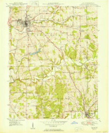
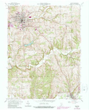
15 topographic sheets cover this place, the earliest surveyed in 1950 and the latest in 1990. It stands in Pierce Township. It lies in ZIP code area 47167. It stands on Farabee Creek. The Survey maps it on the Salem quadrangle.
Topographic sheets covering this place
7 surveys from 15 printed sheetsMatched by testing this settlement's coordinate against the published boundary of every sheet in the United States Geological Survey's historical collection. Each opens the scanned sheet at the Survey.
- 1950 USGS Salem quadrangle1:24000, 2 printings
- 1956 USGS Vincennes quadrangle1:250000, 4 printings
- 1957 USGS Vincennes quadrangle1:250000
- 1958 USGS Vincennes quadrangle1:250000, 2 printings
- 1963 USGS Salem quadrangle1:24000, 4 printings
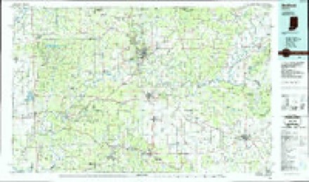
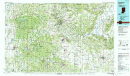
- 1986 USGS Bedford quadrangle1:100000
- 1990 USGS Bedford quadrangle1:100000



In the county-history sources
4,686 words on this townshipCentennial History of Washington County, Indiana : Its People, Industies and Institutions : with Biographical Sketches of Representative Citizens and Genealogical Records of Many of the Old Families, published 1916 names this settlement in its chapter on Pierce Township. These are the passages that mention it, exactly as the scans read.
The township of Pierce was established in March. 1853, and named for the then newly-inaugurated President of the United States. It is one of the two townships in the county that is embraced in the exact boundary of a congressional township, containing thirty-six square miles. Of this area one-third was originally upland prairie: the remainder is rolling with some level land along the creeks. Beginning on the east side, a little north of the middle of the township, is the dividing ridge between the waters of the Blue rivers - the Muddy fork on the south, the Middle fork on the north. This ridge runs nearly due west until it is lost in the level land on the west side of the township. As one travels west on this divide he sees first upon his right Farabee creek, and Brown branch, while on the left is Goss creek. Section 1 1 is the highest point in the township. Here is found the waters of three creeks starting on their journey within a stone's throw of each other, Brown on the north, Monical on the south and Baker on the southwest. Baker creek is the largest stream that runs wholly in the township.
Passage source: Centennial History of Washington County, Indiana : Its People, Industies and Institutions : with Biographical Sketches of Representative Citizens and Genealogical Records of Many of the Old Families, published 1916.
Machine-read from a century-old scan, so expect the errors a machine makes: misspelled names, dropped words, stray characters.
Storms near this place
4 since 2011Regional context, not property-specific evidence. The National Weather Service names Farabee in 4 storm reports between 2011 and 2025: 2 flash flood, 2 thunderstorm wind. No death or injury is recorded in these reports. Each account below is quoted exactly as the forecast office filed it, from the NOAA Storm Events Database, and each date opens the federal record of that event.
| When | Event | Place named | Harm | What the report says |
|---|---|---|---|---|
| March 2025 | Thunderstorm Wind | Farabee | - | There were trees down on State Road 60 near Farabee. |
| April 2025 | Thunderstorm Wind | Farabee | - | Power lines were down along Farabee Road near Pekin. |
| July 2025 | Flash Flood | Farabee | - | Water was flowing over Blue River Church Road. |
| April 2011 | Flash Flood | Farabee | - | Martinsburg Rd. was closed due to high water. |
Nearest settlements
The eight closest, with where each one stands in the county. Distances are straight-line, computed from the Geographic Names Information System coordinates.
| Map | Place | Distance | Sheets |
|---|---|---|---|
| South Boston | 2.6 miles | 9 | |
| Harristown | 2.9 miles | 15 | |
| New Pekin | 3.6 miles | 15 | |
| Old Pekin | 4.2 miles | 14 | |
| Blue River | 4.5 miles | 9 | |
| Canton | 4.7 miles | 15 | |
| Fair Acres | 5.1 miles | 15 | |
| Daisy Hill | 5.4 miles | 9 |
Provenance
This settlement is recorded in the Geographic Names Information System as feature 434387. The sheet list is computed by point-in-boundary test against the United States Geological Survey's historical topographic inventory. Both are works of the United States government and carry no copyright under 17 U.S.C. 105.
Storms. NOAA National Centers for Environmental Information, Storm Events Database https://www.ncei.noaa.gov/stormevents/ A work of the United States government, no copyright under 17 U.S.C. 105. Narratives are quoted verbatim from the National Weather Service report and are not edited or summarised.