 Block
Home Place, Indiana
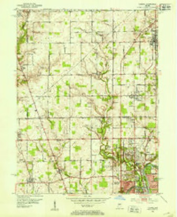
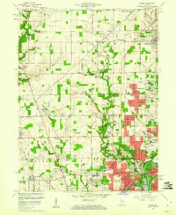
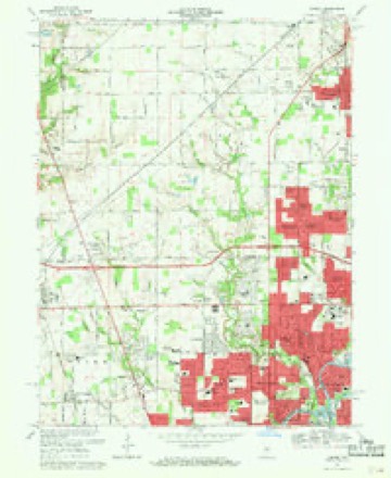
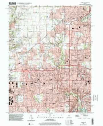
17 topographic sheets cover this place, the earliest surveyed in 1952 and the latest in 1998. It stands in Clay Township. It lies in ZIP code area 46280. The Survey maps it on the Carmel quadrangle.
Topographic sheets covering this place
9 surveys from 17 printed sheetsMatched by testing this settlement's coordinate against the published boundary of every sheet in the United States Geological Survey's historical collection. Each opens the scanned sheet at the Survey.
- 1952 USGS Carmel quadrangle1:24000
- 1953 USGS Indianapolis quadrangle1:250000, 4 printings
- 1956 USGS Indianapolis quadrangle1:250000
- 1957 USGS Indianapolis quadrangle1:250000, 2 printings
- 1959 USGS Carmel quadrangle1:24000
- 1962 USGS Indianapolis quadrangle1:250000
- 1967 USGS Carmel quadrangle1:24000, 4 printings
- 1986 USGS Indianapolis quadrangle1:100000, 2 printings
- 1998 USGS Carmel quadrangle1:24000





In the county-history sources
6,892 words on this townshipHistory of Hamilton County, Indiana : with Illustrations and Biographical Sketches of Some of Its Prominent Men and Pioneers : to Which Are Appended Maps of Its Several Townships, published 1880; History of Hamilton County Indiana, published 1915 has no passage naming this settlement, which was common for smaller places. Its township is covered in full.
The chapter on Clay Township covers the township.
Read the chapter on Clay Township - 6,892 words.
Mines and quarries near this place
6 within 5 milesRegional context, not property-specific evidence. The federal mineral resources record lists 6 workings within 5 miles of Home Place: 4 producers, 2 past producers. 4 still produce. What was taken out: Sand and Gravel, Construction, Stone, Crushed/Broken. Distance is straight-line from the map coordinates, so a quarry counted here may appear on a neighbouring settlement's page as well.
| Where | Site | Commodity | Status | Recorded |
|---|---|---|---|---|
| Indianapolis 521 Quarry | Stone, Crushed/Broken | Producer | ||
| Carmel 512 Pit | Sand and Gravel, Construction | Producer | ||
| Eighty-Sixth Street Sand | Sand and Gravel, Construction | Producer | ||
| Indianapolis 513 Pit | Sand and Gravel, Construction | Producer | ||
| U. S. Aggregates, Inc. | Sand and Gravel, Construction | Past Producer | ||
| U. S. Allied Aggregates, Inc. | Sand and Gravel, Construction | Past Producer |
Storms near this place
18 since 2010Regional context, not property-specific evidence. The National Weather Service names Home Place in 18 storm reports between 2010 and 2025: 7 hail, 5 thunderstorm wind, 3 flood, 1 lightning. No death or injury is recorded in these reports. Each account below is quoted exactly as the forecast office filed it, from the NOAA Storm Events Database, and each date opens the federal record of that event.
| When | Event | Place named | Harm | What the report says |
|---|---|---|---|---|
| June 2010 | Lightning | Home Place | $3,500,000 | Newspaper and broadcast media reported a lightning strike was the suspected cause of a fire of a shopping strip in western Carmel, Indiana. Firefighters think lightning struck the El Rodeo restaurant, located in the 12-unit Weston Shoppes, and quickly spread across the shopping center. The strip mall owner said continuing lightning strikes prevented firefighters from hosing the flames from their ladder trucks, hampering their efforts to save the building. Damage estimates, not including each store's inventory, could be between 3 and 4 million dollars. Firefighters were still on the scene 8 1/2 hours later. |
| April 2025 | Tornado (EF1) | Home Place | $600,000 | This fifth tornado to impact central Indiana tracked to the east-northeast through mainly southeastern portions of the Carmel area, from near 116th Street and Pennsylvania Street to 146th Street and Community Drive. Trees to the south of an office building were uprooted and downed in a convergent manner toward the building. Damage to the office building was confined to the southwest corner and the entry way on the east side of the structure. Metal framing around windows on the southwest corner were pulled outward as was the large entry way frame and windows. The tornado continued to the northeast with numerous homes and apartment buildings sustaining roof and siding damage. Many trees were also uprooted or snapped along the path in a clearly convergent manner in areas where trees came down in groups. Damage was not consistent along the track, with breaks of up to one-third mile where very little if any damage occurred. Damage from the tornado ended about 800 feet south-southeast of the intersection of East 146th Street and Community Drive. Peak wind gusts were 105 mph. |
| April 2025 | Flash Flood | Home Place | $100,000 | Several cars stranded in water which required assistance in Carmel and Fishers. Total rainfall ranged from 1.5 to 2.1 inches. |
| April 2014 | Flood | Home Place | $10,000 | Water was covering Towne Road, south of 116th Street, on the west side of Carmel due to thunderstorm heavy rainfall. A car was reported in a ditch. No word on any injuries. Flooding also closed 116th Street eastbound, east of Ditch Street, and also 136th Street between Rangeline Road and Highway 31. Street crews are clearing drains. |
| July 2013 | Thunderstorm Wind | Home Place | $4,000 | Several trees were downed due to damaging thunderstorm wind gusts. |
| March 2021 | Flood | Home Place | $1,000 | There were eight roads in Hamilton county with reports of high water. One of which is 106th street. There also were several reports of trees and utility lines downed by strong gradient winds throughout the county. |
| April 2014 | Flood | Home Place | $1,000 | Street flooding was noted along Carmel Drive due to heavy thunderstorm rainfall. |
| May 2013 | Thunderstorm Wind | Home Place | $1,000 | A three inch diameter tree was snapped at 116th Street and Springmill Road due to damaging thunderstorm wind gusts. This report was received via twitter. |
| June 2021 | Hail | Home Place | - | One inch hail was reported in the vicinity of 9700 Shelborne Road. |
| May 2019 | Thunderstorm Wind | Home Place | - | A 70 mph thunderstorm wind gust was measured in this location by a mesonet station. |
| August 2019 | Thunderstorm Wind | Home Place | - | A mesonet station measured a 59 mph thunderstorm wind gust in this location. |
| March 2017 | Hail | Home Place | - | This report was received via Twitter. |
| March 2017 | Hail | Home Place | - | This report was received via Twitter. |
| July 2014 | Thunderstorm Wind | Home Place | - | An estimated thunderstorm wind gust of 60 mph was observed in this location, along with large trees that swayed and almost snapped off. This event occurred off of 104th Street. |
| May 2024 | Hail | Home Place | - | no account filed |
| June 2021 | Hail | Home Place | - | no account filed |
| April 2015 | Hail | Home Place | - | no account filed |
| April 2011 | Hail | Home Place | - | no account filed |
Nearest settlements
The eight closest, with where each one stands in the county. Distances are straight-line, computed from the Geographic Names Information System coordinates.
| Map | Place | Distance | Sheets |
|---|---|---|---|
| College Meadows | 0.6 miles | 17 | |
| North Ridge Village | 0.7 miles | 17 | |
| Orchard Park | 0.8 miles | 17 | |
| Echo Crest | 0.9 miles | 17 | |
| Holaday Hills and Dales | 1.4 miles | 19 | |
| Chesterton | 1.6 miles | 19 | |
| Newark Village | 2.0 miles | 19 | |
| Carmel | 2.7 miles | 19 |
Provenance
This settlement is recorded in the Geographic Names Information System as feature 436367. The sheet list is computed by point-in-boundary test against the United States Geological Survey's historical topographic inventory. Both are works of the United States government and carry no copyright under 17 U.S.C. 105.
Mines and quarries. USGS Mineral Resources Data System (MRDS) https://mrdata.usgs.gov/mrds/ A work of the United States government, no copyright under 17 U.S.C. 105.
Storms. NOAA National Centers for Environmental Information, Storm Events Database https://www.ncei.noaa.gov/stormevents/ A work of the United States government, no copyright under 17 U.S.C. 105. Narratives are quoted verbatim from the National Weather Service report and are not edited or summarised.