 Block
Jamestown, Indiana
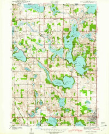
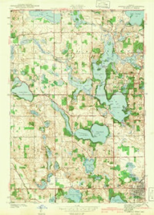
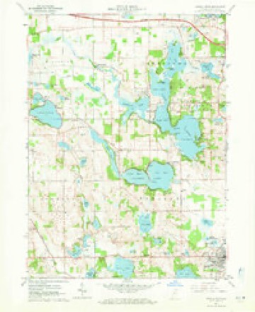
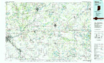
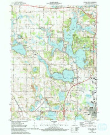
16 topographic sheets cover this place, the earliest surveyed in 1941 and the latest in 1992. It stands in Jamestown Township. It lies in ZIP code area 46737. It stands on Little Fawn River. The Survey maps it on the Angola West quadrangle. It stands 974 feet above sea level.
Topographic sheets covering this place
7 surveys from 16 printed sheetsMatched by testing this settlement's coordinate against the published boundary of every sheet in the United States Geological Survey's historical collection. Each opens the scanned sheet at the Survey.
- 1941 USGS Angola West quadrangle1:24000, 2 printings
- 1942 USGS Angola West quadrangle1:24000
- 1953 USGS Fort Wayne quadrangle1:250000, 4 printings
- 1956 USGS Fort Wayne quadrangle1:250000, 2 printings
- 1960 USGS Angola West quadrangle1:24000, 3 printings
- 1985 USGS Elkhart quadrangle1:100000, 2 printings
- 1992 USGS Angola West quadrangle1:24000, 2 printings


In the county-history sources
8,705 words on this townshipHistory of Steuben County, Indiana, Together with... Biographies of Representative Citizens, published 1885 names this settlement in its chapter on Jamestown Township. These are the passages that mention it, exactly as the scans read.
Jamestown Township lies in the north tier, adjoining the State of Michigan, which bounds it on the north. To the east lies Fremont Township, to the south Pleasant, and to the west Mill Grove. The township is a little less than six miles east and west, and a little more than four miles north and south. It thus contains about twenty-four square miles, or about 15,500 acres, of which say 2,000 acres are covered by water. The township contains some of the finest lakes in the county, and offers unrivaled advantages to the sportsman who desires a successful fishing trip, to the city man who needs a few weeks quiet amid attractive scenery, or to the farmer who wants to locate in as beautiful a region as is in Indiana. Lake James, the largest body of water in the county, stretches from the south line nearly to the village of Jamestown, covering half of sections 28 and 33, and parts of 21, 27 and 34. Lake Jimerson covers half of section 32. Lake George lies on sections 14 and 15, near Jamestown, and stretches into Michigan, as does Hog Lake, on section 17, and Lake Pleasant, in the northwestern corner, on 18. Others are Upper and Lower Otter lakes, on sections 26 and 2Y; Green's Lake, on 26; Failing Lake, on 35; Marsh Lake, on 25; Mud Lake, on 22, and Walters's Lake, on 13.
Passage source: History of Steuben County, Indiana, Together with... Biographies of Representative Citizens, published 1885.
As mentioned in the history of Fremont Township, the first settlers arrived near Willow Prairie on one of the last days of August, 1835. Jamestown Township received some of its first permanent settlers only a few days later. Dennis Depue, John D. Depue, John Wilkins and Jared Fox were among the pioneers ot the township. They arrived Sept. 8,1835. Six weeks later, when the forests were gorgeously arrayed in all the bright and beautiful colors peculiar to the northern woods in autumn, the population of the settlement was materially increased by the arrival of Henry Depue, Sr., Michael Depue, Benjamin Depue, Henry Depue, Levi Depue and Mary Hoxter. Henry and Levi Depue settled in Orland, and John D. and Benjamin Depue located in Branch County, Mich. John Wilkins and Dennis Depue, settled in Jamestown Township, near the village of that name. Jared Fox settled in Gilead, Branch Co., Mich.
Passage source: History of Steuben County, Indiana, Together with... Biographies of Representative Citizens, published 1885.
Orrin Preston entered the northeast quarter of the northeast quarter of section 19, and settled on that piece. He went to mill at Constantine, Mich., once, and when he arrived there he found the mill broken down, and was obliged to go to Montville, seven miles farther on. He started away from home Monday morning, and when he arrived at Montville the miller told him he could not grind his grist, for a man was there who had come fifty miles. Parties had been therefrom Chicago to buy flour, and he expected other buyers at any time, and he had no flour to supply them, for his custom was so large he was obliged to run day and night. He could not grind Mr. Preston's, as he was full. Mr. Preston Anally induced the miller to grind his grist so that he could start for home in the morning. He told how many hardships he had passed through, coloring the story all it would bear. Five days from the time he left Jamestown he returned, being well-nigh exhausted with his long jaunt.
Passage source: History of Steuben County, Indiana, Together with... Biographies of Representative Citizens, published 1885.
Machine-read from a century-old scan, so expect the errors a machine makes: misspelled names, dropped words, stray characters.
Read the whole chapter on Jamestown Township - it names this place 27 more 27 times.
Fires near this place
3 since 2019Regional context, not property-specific evidence. The federal wildfire occurrence database lists 3 fires within 5 miles of Jamestown in 2019, burning about 7 acres in total. None started naturally. None was recorded as arson. Distance is straight-line from the map coordinates, so a fire counted here may appear on a neighbouring settlement's page as well.
| Reported cause | Fires |
|---|---|
| Equipment and vehicle use | 3 |
The most recent of them, most recent first, with the day each was reported and the service that recorded it.
| Date | Cause | Size | Reported by | Name on the report |
|---|---|---|---|---|
| 14 June 2019 | Equipment and vehicle use | 1.0 acres | Michigan Department of Natural Resources | LAKELAND VFD 0019086 - 2019 |
| 28 March 2019 | Equipment and vehicle use | 5.0 acres | Michigan Department of Natural Resources | BRONSON FD 0000097 - 2019 |
| 26 March 2019 | Equipment and vehicle use | 1.0 acres | Michigan Department of Natural Resources | LAKELAND VFD 0019033 - 2019 |
Settlements close enough to share some of these fires:
Mines and quarries near this place
2 within 5 milesRegional context, not property-specific evidence. The federal mineral resources record lists 2 workings within 5 miles of Jamestown: 2 past producers. None of them still produces. What was taken out: Sand and Gravel, Construction, Limestone, General. Distance is straight-line from the map coordinates, so a quarry counted here may appear on a neighbouring settlement's page as well.
| Where | Site | Commodity | Status | Recorded |
|---|---|---|---|---|
| Angola Sand and Gravel Pit | Sand and Gravel, Construction | Past Producer | ||
| Harmon Marl Quarry | Limestone, General | Past Producer |
Storms near this place
4 since 2009Regional context, not property-specific evidence. The National Weather Service names Jamestown in 4 storm reports between 2009 and 2025: 2 thunderstorm wind, 1 lightning, 1 tornado. No death or injury is recorded in these reports. Each account below is quoted exactly as the forecast office filed it, from the NOAA Storm Events Database, and each date opens the federal record of that event.
| When | Event | Place named | Harm | What the report says |
|---|---|---|---|---|
| June 2009 | Lightning | Jamestown | $40,000 | A 32 foot by 50 foot storage facility for Shelton Fireworks on Old US 27 was struck by lightning around 6 am EDT, causing a fire to start. This fire subsequently began causing roughly 1000 boxes of fireworks in the building to ignite, with some of them reaching 100 feet into the air. It took firefighters from 12 departments around 90 minutes to get the fire under control, with the building being a total loss. The building was valued at around $10,000 with the contents around $30,000. |
| March 2025 | Thunderstorm Wind | Jamestown | $7,500 | Roof peeled off of a barn. |
| June 2021 | Tornado (EF1) | Jamestown | - | A survey of damage confirmed an EF-1 tornado with path length of 10 miles, maximum width of 100 yards and estimated peak winds of 100 mph. This tornado tracked east hitting the Country Meadows golf course causing extensive tree damage and destroyed a barn just west of Fremont. The tornado then turned right, tracking through Fremont south of US127 snapping trees and damaging roofs of several structures. The tornado continued east southeast across mainly open fields, snapping trees along the way before heavily damaging another barn and destroying several outbuildings on a farm residence south of Clear Lake. The tornado continued toward the Indiana Ohio stateline before dissipating in an open field. |
| September 2018 | Thunderstorm Wind | Jamestown | - | Emergency management officials reported a tree was blown down north of State Route 120 near US-27. Another tree was blown down near Orland Rd in Crooked Lake. |
Nearest settlements
The eight closest, with where each one stands in the county. Distances are straight-line, computed from the Geographic Names Information System coordinates.
| Map | Place | Distance | Sheets |
|---|---|---|---|
| Valley Outlet Center | 1.6 miles | 16 | |
| Potawatomi Inn | 3.1 miles | 16 | |
| Lake James | 3.4 miles | 16 | |
| Nevada Mills | 3.7 miles | 16 | |
| Glen Eden | 3.9 miles | 16 | |
| Fremont | 4.6 miles | 15 | |
| Crooked Lake | 4.8 miles | 16 | |
| Inverness | 5.2 miles | 16 |
Elsewhere
Matched on this settlement's Geographic Names Information System number rather than its name, so it cannot be a different place of the same name in another state.
| Wikipedia article on Jamestown | An encyclopaedic summary. Its text is share-alike, so it is linked here rather than copied. |
| Wikidata item Q27988954 | The structured record the population and elevation above come from. Public domain (CC0). |
Provenance
This settlement is recorded in the Geographic Names Information System as feature 436933. The sheet list is computed by point-in-boundary test against the United States Geological Survey's historical topographic inventory. Both are works of the United States government and carry no copyright under 17 U.S.C. 105.
Wildfire. Short, Karen C. 2022. Spatial wildfire occurrence data for the United States, 1992-2020 [FPA_FOD_20221014]. 6th Edition. Fort Collins, CO: Forest Service Research Data Archive. https://doi.org/10.2737/RDS-2013-0009.6 Collected with United States Government funding and usable without additional permissions or fees.
Mines and quarries. USGS Mineral Resources Data System (MRDS) https://mrdata.usgs.gov/mrds/ A work of the United States government, no copyright under 17 U.S.C. 105.
Storms. NOAA National Centers for Environmental Information, Storm Events Database https://www.ncei.noaa.gov/stormevents/ A work of the United States government, no copyright under 17 U.S.C. 105. Narratives are quoted verbatim from the National Weather Service report and are not edited or summarised.