 Block
Kreitzburg, Indiana
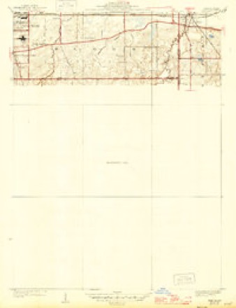
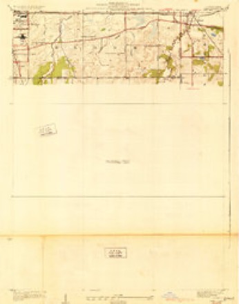
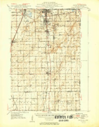
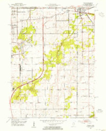
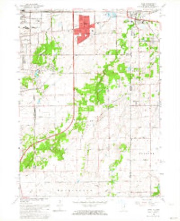
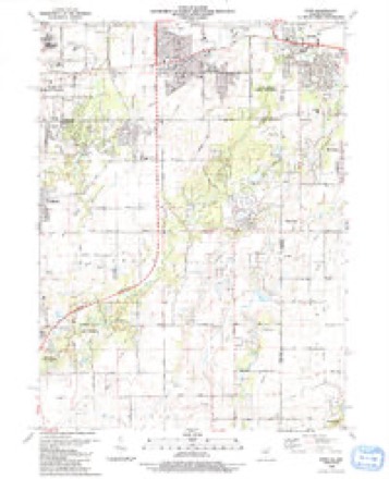
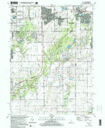
16 topographic sheets cover this place, the earliest surveyed in 1929 and the latest in 1998. It stands in St. John Township. It lies in ZIP code area 46311. The Survey maps it on the Dyer quadrangle. It stands 702 feet above sea level.
Topographic sheets covering this place
11 surveys from 16 printed sheetsMatched by testing this settlement's coordinate against the published boundary of every sheet in the United States Geological Survey's historical collection. Each opens the scanned sheet at the Survey.
- 1929 USGS Dyer quadrangle1:24000
- 1930 USGS Dyer quadrangle1:24000
- 1949 USGS Crete quadrangle1:62500
- 1953 USGS Chicago quadrangle1:250000, 5 printings
- 1953 USGS Dyer quadrangle1:24000
- 1957 USGS Chicago quadrangle1:250000
- 1962 USGS Dyer quadrangle1:24000, 2 printings
- 1984 USGS Kankakee quadrangle1:100000
- 1990 USGS Dyer quadrangle1:24000
- 1991 USGS Kankakee quadrangle1:100000
- 1998 USGS Dyer quadrangle1:24000


Mines and quarries near this place
1 within 5 milesRegional context, not property-specific evidence. The federal mineral resources record lists 1 working within 5 miles of Kreitzburg: 1 producer. All of them still produce. What was taken out: Sand and Gravel, Construction. Distance is straight-line from the map coordinates, so a quarry counted here may appear on a neighbouring settlement's page as well.
| Where | Site | Commodity | Status | Recorded |
|---|---|---|---|---|
| Al Sand Pit | Sand and Gravel, Construction | Producer |
Storms near this place
3 since 2021Regional context, not property-specific evidence. The National Weather Service names Kreitzburg in 3 storm reports between 2021 and 2026: 2 thunderstorm wind, 1 tornado. No death or injury is recorded in these reports. Each account below is quoted exactly as the forecast office filed it, from the NOAA Storm Events Database, and each date opens the federal record of that event.
| When | Event | Place named | Harm | What the report says |
|---|---|---|---|---|
| April 2026 | Thunderstorm Wind | Kreitzburg | - | Numerous tree branches were downed around and southwest of St. John. |
| October 2021 | Tornado (EF0) | Kreitzburg | - | A tornado with peak winds of 80 mph touched down in far eastern Will County in eastern Illinois and crossed into Lake County in northwest Indiana near the intersection of Bemes Road and State Line Road. A farm outbuilding suffered minor damage just northeast of this intersection. The tornado crossed 113th Avenue and damaged fencing and soccer goals at the Illiana Christian High School. The tornado lifted near the intersection of 109th Avenue and Calumet Avenue. |
| August 2025 | Thunderstorm Wind | Kreitzburg | - | no account filed |
Nearest settlements
The eight closest, with where each one stands in the county. Distances are straight-line, computed from the Geographic Names Information System coordinates.
| Map | Place | Distance | Sheets |
|---|---|---|---|
| Saint John | 2.9 miles | 12 | |
| Dyer | 4.0 miles | 16 | |
| Brunswick | 4.1 miles | 16 | |
| Lake Hills | 4.4 miles | 12 | |
| Schererville | 4.6 miles | 12 | |
| Cook | 4.9 miles | 12 | |
| Klaasville | 5.5 miles | 13 | |
| Hartsdale | 5.6 miles | 20 |
Elsewhere
Matched on this settlement's Geographic Names Information System number rather than its name, so it cannot be a different place of the same name in another state.
| Wikipedia article on Kreitzburg | An encyclopaedic summary. Its text is share-alike, so it is linked here rather than copied. |
| Wikidata item Q6436654 | The structured record the population and elevation above come from. Public domain (CC0). |
Provenance
This settlement is recorded in the Geographic Names Information System as feature 437453. The sheet list is computed by point-in-boundary test against the United States Geological Survey's historical topographic inventory. Both are works of the United States government and carry no copyright under 17 U.S.C. 105.
Mines and quarries. USGS Mineral Resources Data System (MRDS) https://mrdata.usgs.gov/mrds/ A work of the United States government, no copyright under 17 U.S.C. 105.
Storms. NOAA National Centers for Environmental Information, Storm Events Database https://www.ncei.noaa.gov/stormevents/ A work of the United States government, no copyright under 17 U.S.C. 105. Narratives are quoted verbatim from the National Weather Service report and are not edited or summarised.