 Block
Brunswick, Indiana
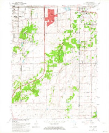
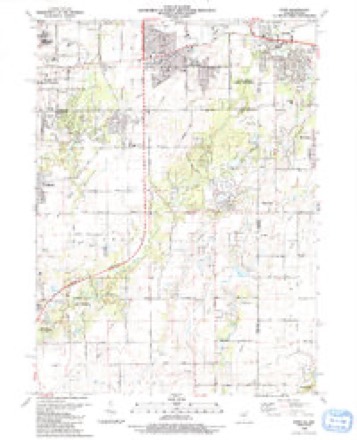
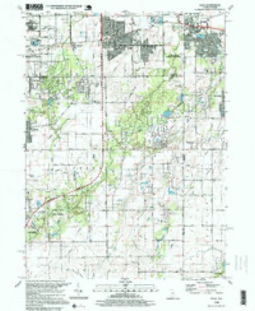
16 topographic sheets cover this place, the earliest surveyed in 1929 and the latest in 1998. It stands in Hanover Township. It lies in ZIP code area 46303. The Survey maps it on the Dyer quadrangle. It stands 728 feet above sea level.
Topographic sheets covering this place
11 surveys from 16 printed sheetsMatched by testing this settlement's coordinate against the published boundary of every sheet in the United States Geological Survey's historical collection. Each opens the scanned sheet at the Survey.
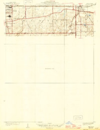
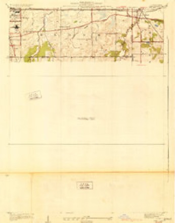
- 1929 USGS Dyer quadrangle1:24000
- 1930 USGS Dyer quadrangle1:24000
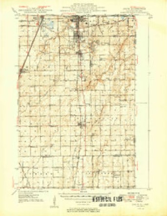
- 1949 USGS Crete quadrangle1:62500
- 1953 USGS Chicago quadrangle1:250000, 5 printings
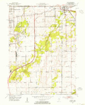
- 1953 USGS Dyer quadrangle1:24000
- 1957 USGS Chicago quadrangle1:250000
- 1962 USGS Dyer quadrangle1:24000, 2 printings
- 1984 USGS Kankakee quadrangle1:100000
- 1990 USGS Dyer quadrangle1:24000
- 1991 USGS Kankakee quadrangle1:100000
- 1998 USGS Dyer quadrangle1:24000


In the county-history sources
1,796 words on this townshipA Standard History of Lake County, Indiana, and the Calumet Region, published 1915 names this settlement in its chapter on Hanover Township. These are the passages that mention it, exactly as the scans read.
Herman C. Beckman, an uncle of Mr. Meyer, was the most prominent of the early merchants of Hanover Township, and was mainly instrumental in founding Hanover Center and Brunswick. He came to America from Hanover in 1846, was married in 1852 and in 1855 opened a large store at the little settlement just southeast of the center of the township, at the corners of sections 20, 21, 28 and 29. This soon became known as Hanover Center, and the community still shows a store, a large church, a good sehoolhouse, dwellings and the usual buildings of rural settlement.
Passage source: A Standard History of Lake County, Indiana, and the Calumet Region, published 1915.
Brunswick, two miles west of Hanover Center, was founded when Mr. Beckman transferred his general store and his other business interests to the point first mentioned. This was in 1858. For many years he carried on at that point a large general business, dealing especially in butter and eggs. For twenty-nine years he was postmaster at Brunswick, served as county commissioner, and was altogether an able, prosperous, upright, kindly and highly honored citizen. At Mr. Beckman's death in Brunswick during 1894 his son, John N. Beckman, continued the paternal career with interest, especially developing their joint raising and improvement of Jersey cattle. Brunswick is more indebted to the Beckmans for its growth and good standing than to any other personal influence.
Passage source: A Standard History of Lake County, Indiana, and the Calumet Region, published 1915.
Machine-read from a century-old scan, so expect the errors a machine makes: misspelled names, dropped words, stray characters.
Storms near this place
1 since 2024Regional context, not property-specific evidence. The National Weather Service names Brunswick in 1 storm report in 2024: 1 tornado. No death or injury is recorded in these reports. Each account below is quoted exactly as the forecast office filed it, from the NOAA Storm Events Database, and each date opens the federal record of that event.
| When | Event | Place named | Harm | What the report says |
|---|---|---|---|---|
| July 2024 | Tornado (EF1) | Brunswick | - | A tornado with estimated peak winds of 90 mph touched down near Eagle Lake in Will County in northeast Illinois and crossed into Lake County just south of 133rd Avenue. Numerous large tree limbs were blown down near 135th Street west of Calumet Avenue. White Oak Avenue was blocked with tree limbs and power lines, just north of 135th Avenue. The tornado crossed Route 41 and produced extensive tree damage along 129th Avenue with some trees snapped. A metal road sign post was rotated 180 degrees. Several homes suffered minor roof and fascia damage. A metal commercial building lost most of its roof. A chimney was blown off of a roof and a free standing garage was partially collapsed. Tree damage continued along and north of 129th Avenue as the tornado turned northeast and crossed Parrish Avenue where trees were uprooted. Tree damage continued as the tornado moved east near Havenwood Pass and then along 124th Avenue after crossing Cline Avenue. The tornado continued moving northeast, crossing Burr Street where a window was blown out of a garage on 122nd Avenue. Numerous shingles were removed from a house on 121st Avenue, just east of Burr Street. Numerous trees and power lines were blown down as the tornado moved through Crown Point, south of Route 231. Utility poles were also damaged. On 120th Avenue, a house suffered significant siding damage and a metal shed was blown several yards. Some homes suffered minor roof and fascia damage near Hyde Park. The tornado crossed Lake Street and jogged to the northeast where some homes suffered minor roof damage and numerous tree limbs and fences were blown down. The tornado crossed Route 231 near 113th Avenue and damaged an industrial building just west of Route 53. Metal roof panels were peeled away, two metal garage doors were blown out, a small section of a wall was blown in and some insulation was found in nearby power lines at least 100 yards away. The tornado crossed Interstate 65 and continued producing tree damage until it crossed into Porter County halfway between 101st Avenue and 93rd Avenue. |
Nearest settlements
The eight closest, with where each one stands in the county. Distances are straight-line, computed from the Geographic Names Information System coordinates.
| Map | Place | Distance | Sheets |
|---|---|---|---|
| Klaasville | 1.6 miles | 13 | |
| Cook | 2.0 miles | 12 | |
| Cedar Lake | 3.7 miles | 12 | |
| Kreitzburg | 4.1 miles | 16 | |
| Creston | 4.9 miles | 12 | |
| Saint John | 5.4 miles | 12 | |
| North Hayden | 6.6 miles | 12 | |
| Lake Hills | 6.8 miles | 12 |
Elsewhere
Matched on this settlement's Geographic Names Information System number rather than its name, so it cannot be a different place of the same name in another state.
| Wikipedia article on Brunswick | An encyclopaedic summary. Its text is share-alike, so it is linked here rather than copied. |
| Wikidata item Q4979472 | The structured record the population and elevation above come from. Public domain (CC0). |
Provenance
This settlement is recorded in the Geographic Names Information System as feature 431672. The sheet list is computed by point-in-boundary test against the United States Geological Survey's historical topographic inventory. Both are works of the United States government and carry no copyright under 17 U.S.C. 105.
Storms. NOAA National Centers for Environmental Information, Storm Events Database https://www.ncei.noaa.gov/stormevents/ A work of the United States government, no copyright under 17 U.S.C. 105. Narratives are quoted verbatim from the National Weather Service report and are not edited or summarised.