 Block
Lake of the Woods, Indiana
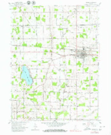
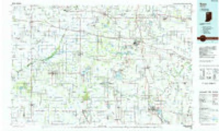
13 topographic sheets cover this place, the earliest surveyed in 1953 and the latest in 1984. It stands in German Township. It lies in ZIP code area 46506. The Survey maps it on the Bremen quadrangle.
Topographic sheets covering this place
4 surveys from 13 printed sheetsMatched by testing this settlement's coordinate against the published boundary of every sheet in the United States Geological Survey's historical collection. Each opens the scanned sheet at the Survey.
- 1953 USGS Chicago quadrangle1:250000, 5 printings
- 1957 USGS Chicago quadrangle1:250000
- 1958 USGS Bremen quadrangle1:24000, 5 printings
- 1984 USGS Knox quadrangle1:100000, 2 printings


In the county-history sources
366 words on this townshipMcDonald, Daniel - History Of Marshall County, Indiana 1836-1880 (Kingman Bros., 1881), published 1881 has no passage naming this settlement, which was common for smaller places. Its township is covered in full.
The chapter on German Township covers organized may 11, 1838, boundary, clayton, bremen organized ovtober 21, 1851, a pditions, incorporated 1871.
Read the chapter on German Township - 366 words.
Storms near this place
4 since 2011Regional context, not property-specific evidence. The National Weather Service names Lake of the Woods in 4 storm reports between 2011 and 2023: 2 thunderstorm wind, 1 tornado, 1 lightning. The reports record 1 death. Each account below is quoted exactly as the forecast office filed it, from the NOAA Storm Events Database, and each date opens the federal record of that event.
| When | Event | Place named | Harm | What the report says |
|---|---|---|---|---|
| July 2019 | Lightning | Lake Of The Woods | 1 killed | A 65 year old male and a friend were heading for shore getting away from a thunderstorms when lightning struck the 65 year old. CPR was started but they were unable to save him. The other passenger was not harmed. |
| July 2023 | Thunderstorm Wind | Lake Of The Woods | $1,000 | Tree down across road in Lake of the Woods. Time estimated by radar. |
| July 2018 | Tornado (EF0) | Lake Of The Woods | - | Drone pictures indicate that a disorganized tornado touched down southwest of the intersection of County Road 6B and Ironwood Road. The NW corner of a barn suffered damage to a cinder block wall. Corn was observed laid down in a semi convergent pattern as the tornado moved northeast across 6B and eventually Ironwood Road where some tree branches were broken along Issac Sells Ditch. The tornado lifted at this point with no further damage noted. |
| May 2011 | Thunderstorm Wind | Lake Of The Woods | - | Emergency management officials reported a tree down near the intersection of Fir and 6th Road. |
Nearest settlements
The eight closest, with where each one stands in the county. Distances are straight-line, computed from the Geographic Names Information System coordinates.
Provenance
This settlement is recorded in the Geographic Names Information System as feature 2830277. The sheet list is computed by point-in-boundary test against the United States Geological Survey's historical topographic inventory. Both are works of the United States government and carry no copyright under 17 U.S.C. 105.
Storms. NOAA National Centers for Environmental Information, Storm Events Database https://www.ncei.noaa.gov/stormevents/ A work of the United States government, no copyright under 17 U.S.C. 105. Narratives are quoted verbatim from the National Weather Service report and are not edited or summarised.