 Block
Letts, Indiana
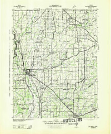
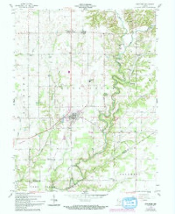
11 topographic sheets cover this place, the earliest surveyed in 1942 and the latest in 1986. It stands in Sandcreek Township. It lies in ZIP code area 47240. The Survey maps it on the Westport quadrangle. It stands 896 feet above sea level.
Topographic sheets covering this place
5 surveys from 11 printed sheetsMatched by testing this settlement's coordinate against the published boundary of every sheet in the United States Geological Survey's historical collection. Each opens the scanned sheet at the Survey.
- 1942 USGS Columbus quadrangle1:125000
- 1953 USGS Cincinnati quadrangle1:250000, 3 printings
- 1957 USGS Cincinnati quadrangle1:250000
- 1958 USGS Westport quadrangle1:24000, 4 printings
- 1986 USGS Greensburg quadrangle1:100000, 2 printings



In the county-history sources
2,767 words on this townshipHistory of Decatur County, Indiana : Its People, Industries and Institutions, published 1915 names this settlement in its chapter on Sandcreek Township. These are the passages that mention it, exactly as the scans read.
The village of Letts, situated on the Michigan division of the Big Four railroad, was laid out on September 30, 1882, by Joab Stout and others. Letts is one of the late towns laid out in this county and has had a very prosperous existence in its thirty-three years of life. It is situated in the center of a rich farming land and each year its exports in grain are enormous. Recently two new store buildings were erected, which add to the prosperous business atmosphere of the town.
Passage source: History of Decatur County, Indiana : Its People, Industries and Institutions, published 1915.
The postmaster is George W. Davis. The railroad station is known by the name of Letts Corner and O. E. Hedrick is the agent. Letts is supplied with ice by the Meek Ice Company, from Greensburg, which makes trips once a week. The population of the town is estimated at three hundred.
Passage source: History of Decatur County, Indiana : Its People, Industries and Institutions, published 1915.
Sand Creek township has one consohdated school, located at Letts. This school building has been remodeled and affords very modern and commodious quarters for the young aspirants for knowledge. This school also presents a commissioned high school course of study and the enrollment for the past year totaled forty-four. Westport also has an ui>to-date high school, with an enrollment of eighty-five. There are six outlying district schools in this township, which ha\e not experienced the ad\antages of a consolidated district.
Passage source: History of Decatur County, Indiana : Its People, Industries and Institutions, published 1915.
Machine-read from a century-old scan, so expect the errors a machine makes: misspelled names, dropped words, stray characters.
Read the whole chapter on Sandcreek Township - it names this place 1 more 1 time.
Mines and quarries near this place
2 within 5 milesRegional context, not property-specific evidence. The federal mineral resources record lists 2 workings within 5 miles of Letts: 1 producer, 1 past producer. 1 still produces. What was taken out: Stone, Crushed/Broken, Limestone, Dimension. Distance is straight-line from the map coordinates, so a quarry counted here may appear on a neighbouring settlement's page as well.
| Where | Site | Commodity | Status | Recorded |
|---|---|---|---|---|
| Harris City Quarry | Stone, Crushed/Broken | Producer | ||
| Sipes Stone Quarry | Limestone, Dimension | Past Producer |
Storms near this place
8 since 1999Regional context, not property-specific evidence. The National Weather Service names Letts in 8 storm reports between 1999 and 2018: 6 thunderstorm wind, 2 hail. No death or injury is recorded in these reports. Each account below is quoted exactly as the forecast office filed it, from the NOAA Storm Events Database, and each date opens the federal record of that event.
| When | Event | Place named | Harm | What the report says |
|---|---|---|---|---|
| February 2008 | Thunderstorm Wind | Letts | $260,000 | A microburst caused damage to numerous structures in Decatur County including a church steeple and roof, two mobile homes, three pick up trucks, trees, power lines, a school bus, two semi trailers, a barn, two businesses, a fence, and a few houses. |
| May 2011 | Thunderstorm Wind | Letts | $45,000 | Three grain bins were blown over near the intersection of South County Road 350 West and West County Road 850 South due to damaging thunderstorm wind gusts. |
| July 2015 | Thunderstorm Wind | Letts | $8,000 | Numerous trees were downed along Route 3 due to damaging thunderstorm wind gusts. |
| May 2018 | Thunderstorm Wind | Letts | $5,000 | Utility lines, trees, and tree limbs were blown down in this location due to damaging thunderstorm wind gusts. |
| June 2015 | Hail | Letts | - | Lots of dime sized hail was reported. |
| April 2006 | Hail | Letts | - | no account filed |
| May 2003 | Thunderstorm Wind | Letts | - | no account filed |
| May 1999 | Thunderstorm Wind | Letts | - | no account filed |
Nearest settlements
The eight closest, with where each one stands in the county. Distances are straight-line, computed from the Geographic Names Information System coordinates.
| Map | Place | Distance | Sheets |
|---|---|---|---|
| Letts Corner | 0.5 miles | 11 | |
| Horace | 1.9 miles | 11 | |
| Gaynorsville | 2.4 miles | 11 | |
| Pinhook | 2.7 miles | 11 | |
| Forest Hill | 3.0 miles | 11 | |
| Mapleton Corner | 3.2 miles | 11 | |
| Harris City | 3.8 miles | 11 | |
| Westport | 4.1 miles | 11 |
Elsewhere
Matched on this settlement's Geographic Names Information System number rather than its name, so it cannot be a different place of the same name in another state.
| Wikipedia article on Letts | An encyclopaedic summary. Its text is share-alike, so it is linked here rather than copied. |
| Wikidata item Q6533857 | The structured record the population and elevation above come from. Public domain (CC0). |
Provenance
This settlement is recorded in the Geographic Names Information System as feature 437794. The sheet list is computed by point-in-boundary test against the United States Geological Survey's historical topographic inventory. Both are works of the United States government and carry no copyright under 17 U.S.C. 105.
Mines and quarries. USGS Mineral Resources Data System (MRDS) https://mrdata.usgs.gov/mrds/ A work of the United States government, no copyright under 17 U.S.C. 105.
Storms. NOAA National Centers for Environmental Information, Storm Events Database https://www.ncei.noaa.gov/stormevents/ A work of the United States government, no copyright under 17 U.S.C. 105. Narratives are quoted verbatim from the National Weather Service report and are not edited or summarised.