 Block
Lippe, Indiana
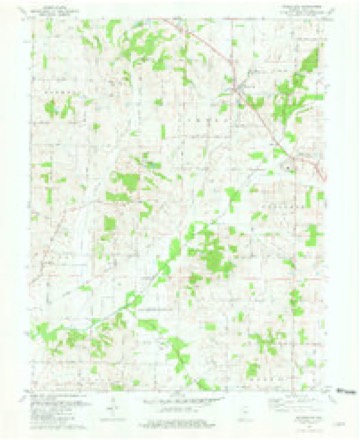
19 topographic sheets cover this place, the earliest surveyed in 1903 and the latest in 1986. It stands in Robinson Township. It lies in ZIP code area 47620. The Survey maps it on the Wadesville quadrangle.
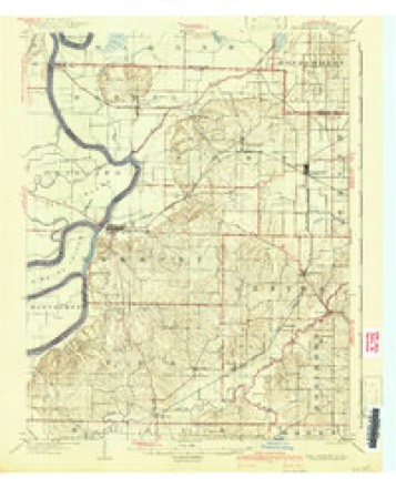
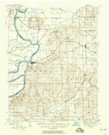
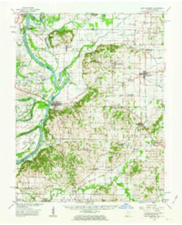
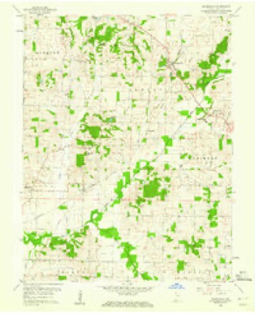
Topographic sheets covering this place
10 surveys from 19 printed sheetsMatched by testing this settlement's coordinate against the published boundary of every sheet in the United States Geological Survey's historical collection. Each opens the scanned sheet at the Survey.
- 1903 USGS New Harmony quadrangle1:62500, 3 printings
- 1903 USGS Patoka quadrangle1:125000, 2 printings
- 1938 USGS New Harmony quadrangle1:62500
- 1956 USGS Vincennes quadrangle1:250000, 4 printings
- 1957 USGS Vincennes quadrangle1:250000
- 1958 USGS Vincennes quadrangle1:250000, 2 printings
- 1959 USGS New Harmony quadrangle1:62500, 2 printings
- 1959 USGS Wadesville quadrangle1:24000
- 1981 USGS Wadesville quadrangle1:24000
- 1986 USGS Princeton quadrangle1:100000, 2 printings





In the county-history sources
1,541 words on this townshipHistory of Posey County, Indiana, published 1913 names this settlement in its chapter on Robinson Township. These are the passages that mention it, exactly as the scans read.
After Rev. Krassauer's services, between two and three years. Rev. Zaupert, stationed at Evansville, Ind.. attended to the pastoral work for one year. He was succeeded by Rev. Lauer, pastor of St. John's Evangelical Church at Evansville, for two years. During his pastorate a more complete constitution was adopted and the organization was made permanent. For the last time, in 1848, Zion was found in want of a neighboring pastor's services. Rev. Dulitz, on the New Harmony road, took up the work here and carried it on for about one year.
Passage source: History of Posey County, Indiana, published 1913.
Machine-read from a century-old scan, so expect the errors a machine makes: misspelled names, dropped words, stray characters.
Read the whole chapter on Robinson Township - it names this place 1 more 1 time.
Storms near this place
1 since 2020Regional context, not property-specific evidence. The National Weather Service names Lippe in 1 storm report in 2020: 1 tornado. No death or injury is recorded in these reports. Each account below is quoted exactly as the forecast office filed it, from the NOAA Storm Events Database, and each date opens the federal record of that event.
| When | Event | Place named | Harm | What the report says |
|---|---|---|---|---|
| July 2020 | Tornado (EF1) | Lippe | $80,000 | The tornado damage was mainly to trees and power lines. A couple houses lost some shingles and fascia. At least one vehicle was damaged by a fallen tree. Corn was blown down in a strongly convergent pattern. There was a strong cross-wind component to the snapped and uprooted trees. Estimated maximum wind speeds were near 95 mph. Survey findings were compiled from drone footage and data provided by the Evansville-Vanderburgh and Posey County emergency management agencies in conjunction with NWS data. The tornado path continued into Vanderburgh County. |
Nearest settlements
The eight closest, with where each one stands in the county. Distances are straight-line, computed from the Geographic Names Information System coordinates.
| Map | Place | Distance | Sheets |
|---|---|---|---|
| Philip Station | 2.4 miles | 16 | |
| Saint Philip | 2.8 miles | 16 | |
| Parkers Settlement | 2.9 miles | 19 | |
| Caborn | 3.7 miles | 18 | |
| Blairsville | 4.4 miles | 19 | |
| Hepburn | 4.5 miles | 19 | |
| Marrs Center | 4.8 miles | 18 | |
| Oliver | 4.9 miles | 19 |
Provenance
This settlement is recorded in the Geographic Names Information System as feature 437977. The sheet list is computed by point-in-boundary test against the United States Geological Survey's historical topographic inventory. Both are works of the United States government and carry no copyright under 17 U.S.C. 105.
Storms. NOAA National Centers for Environmental Information, Storm Events Database https://www.ncei.noaa.gov/stormevents/ A work of the United States government, no copyright under 17 U.S.C. 105. Narratives are quoted verbatim from the National Weather Service report and are not edited or summarised.