 Block
Blairsville, Indiana
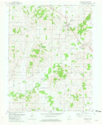
19 topographic sheets cover this place, the earliest surveyed in 1903 and the latest in 1986. It stands in Robinson Township. It lies in ZIP code area 47638. The Survey maps it on the Wadesville quadrangle.
Topographic sheets covering this place
10 surveys from 19 printed sheetsMatched by testing this settlement's coordinate against the published boundary of every sheet in the United States Geological Survey's historical collection. Each opens the scanned sheet at the Survey.
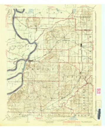
- 1903 USGS New Harmony quadrangle1:62500, 3 printings
- 1903 USGS Patoka quadrangle1:125000, 2 printings
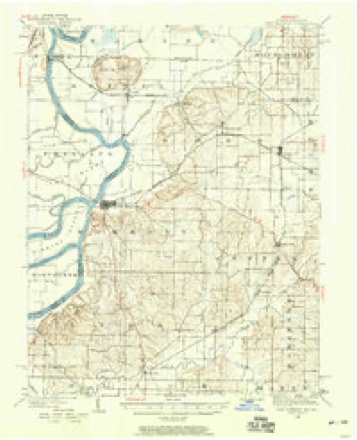
- 1938 USGS New Harmony quadrangle1:62500
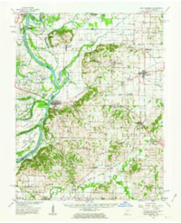
- 1956 USGS Vincennes quadrangle1:250000, 4 printings
- 1957 USGS Vincennes quadrangle1:250000
- 1958 USGS Vincennes quadrangle1:250000, 2 printings
- 1959 USGS New Harmony quadrangle1:62500, 2 printings
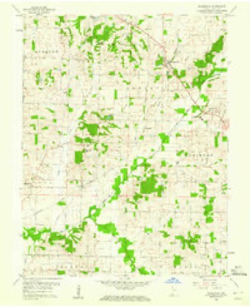
- 1959 USGS Wadesville quadrangle1:24000
- 1981 USGS Wadesville quadrangle1:24000
- 1986 USGS Princeton quadrangle1:100000, 2 printings





In the county-history sources
1,541 words on this townshipHistory of Posey County, Indiana, published 1913 names this settlement in its chapter on Robinson Township. These are the passages that mention it, exactly as the scans read.
Very few land entries were made within the present township previous to 1820. owing to the fact that there was plenty of desirable land subject to entry nearer the market, but finally a great influx of Germans began to pour into this county and, large areas of land being still unoccupied in this township, they soon began to settle in that locality. The greater portion of the population of the township now consists of Germans. The land entries prior to 1820 were: William Dodge, in 1817: William Rodgers, 1818; Ajax Campbell, 1818; Charles Kimball. 1818; Ezekiel Dukes, 1818; Rezin Halsell, 1816; Isaac Slover, 1819; David Murphy, 1819; John Crunk, 1818; Josiah Denney, 1814; Joel Pruitt, 1818; Thomas Halsell, 1817; William Holson, 1819; Alexander S. Morrow, 1818, and Samuel Barton, 1816.
Passage source: History of Posey County, Indiana, published 1913.
As these mills had a capacity of from fifteen to twenty-five bushels a day, the miller was compelled to carry on some other kind of business in connection with his mill to support his family. In a great many cases small distilleries were run in connection with them.
Passage source: History of Posey County, Indiana, published 1913.
Machine-read from a century-old scan, so expect the errors a machine makes: misspelled names, dropped words, stray characters.
Read the whole chapter on Robinson Township - it names this place 1 more 1 time.
Storms near this place
5 since 1997Regional context, not property-specific evidence. The National Weather Service names Blairsville in 5 storm reports between 1997 and 2012: 3 thunderstorm wind, 2 hail. No death or injury is recorded in these reports. Each account below is quoted exactly as the forecast office filed it, from the NOAA Storm Events Database, and each date opens the federal record of that event.
| When | Event | Place named | Harm | What the report says |
|---|---|---|---|---|
| March 2012 | Thunderstorm Wind | Blairsville | $50,000 | The roof was blown off a 2 story home. |
| July 1997 | Thunderstorm Wind | Blairsville | $3,000 | A cooperative observer reported trees down. |
| April 2002 | Thunderstorm Wind | Blairsville | - | Trees were blown down in eastern Posey County. |
| March 2006 | Hail | Blairsville | - | no account filed |
| May 2003 | Hail | Blairsville | - | no account filed |
Nearest settlements
The eight closest, with where each one stands in the county. Distances are straight-line, computed from the Geographic Names Information System coordinates.
| Map | Place | Distance | Sheets |
|---|---|---|---|
| Wadesville | 2.1 miles | 19 | |
| Hepburn | 2.2 miles | 19 | |
| Parkers Settlement | 3.3 miles | 19 | |
| Lippe | 4.4 miles | 19 | |
| Oliver | 4.8 miles | 19 | |
| Springfield | 6.3 miles | 19 | |
| Poseyville | 6.4 miles | 21 | |
| Rapture | 6.6 miles | 21 |
Provenance
This settlement is recorded in the Geographic Names Information System as feature 431168. The sheet list is computed by point-in-boundary test against the United States Geological Survey's historical topographic inventory. Both are works of the United States government and carry no copyright under 17 U.S.C. 105.
Storms. NOAA National Centers for Environmental Information, Storm Events Database https://www.ncei.noaa.gov/stormevents/ A work of the United States government, no copyright under 17 U.S.C. 105. Narratives are quoted verbatim from the National Weather Service report and are not edited or summarised.