 Block
Logan, Indiana
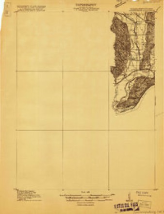
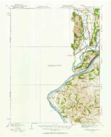
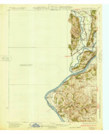
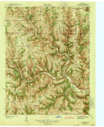
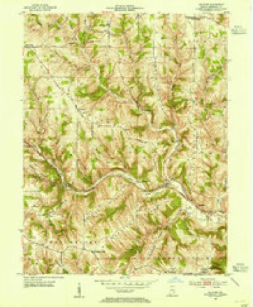
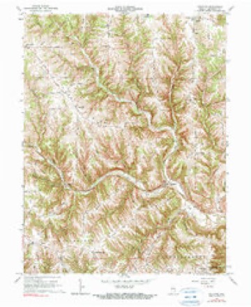
17 topographic sheets cover this place, the earliest surveyed in 1915 and the latest in 1986. It stands in Logan Township. It lies in ZIP code area 47060. It lies near Whites Hill. The Survey maps it on the Guilford quadrangle.
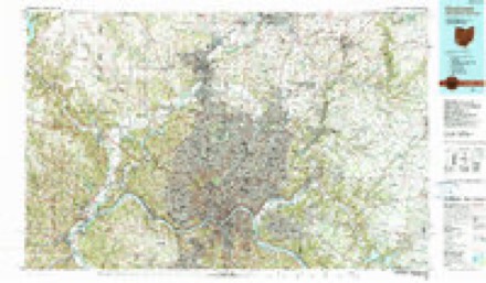
Topographic sheets covering this place
9 surveys from 17 printed sheetsMatched by testing this settlement's coordinate against the published boundary of every sheet in the United States Geological Survey's historical collection. Each opens the scanned sheet at the Survey.
- 1915 USGS Lawrenceburg quadrangle1:48000
- 1928 USGS Lawrenceburg quadrangle1:62500
- 1932 USGS Lawrenceburg quadrangle1:62500, 3 printings
- 1943 USGS Guilford quadrangle1:24000, 2 printings
- 1953 USGS Cincinnati quadrangle1:250000, 3 printings
- 1953 USGS Guilford quadrangle1:24000
- 1957 USGS Cincinnati quadrangle1:250000
- 1966 USGS Guilford quadrangle1:24000, 2 printings
- 1986 USGS Cincinnati quadrangle1:100000, 3 printings


In the county-history sources
537 words on this townshipHistory of Dearborn County Indiana, published 1915 names this settlement in its chapter on Logan Township. These are the passages that mention it, exactly as the scans read.
Logan township is one of the original townships of Dearborn county. It comprises a congressional township and Harrison township was erected out of it in 1844. Its bounds were the boundaries of township 7, range 1 west. As the township is now described, it is bounded on the north by Franklin county, on the east by Harrison township, on the south by Miller township, and on the west by Kelso township.
Passage source: History of Dearborn County Indiana, published 1915.
The first mill built on the Whitewater river was erected by John Hinkston at the mouth of Logan creek. It was in operation as early as 1813. The early settlers, always on the lookout for localities where salt could be evap¬ orated from the water, found a lick at the mouth of Cranes run, where for a time salt was manufactured. James Logan dug two wells and carried on the business until the river rose and compelled their abandonment. A distillery was also erected at the mouth of Cranes run, about one-half mile from the river, by Solomon Rude. Jacob Hollowell operated a tannery on Logan creek, at a place called "Stone Jug." Charles Briggs, it is claimed, erected the first steam mill in the township.
Passage source: History of Dearborn County Indiana, published 1915.
Machine-read from a century-old scan, so expect the errors a machine makes: misspelled names, dropped words, stray characters.
Fires near this place
1 since 2004Regional context, not property-specific evidence. The federal wildfire occurrence database lists 1 fire within 5 miles of Logan in 2004, burning about 1 acre in total. None started naturally. None was recorded as arson. Distance is straight-line from the map coordinates, so a fire counted here may appear on a neighbouring settlement's page as well.
| Reported cause | Fires |
|---|---|
| Recreation and ceremony | 1 |
The most recent of them, most recent first, with the day each was reported and the service that recorded it.
| Date | Cause | Size | Reported by | Name on the report |
|---|---|---|---|---|
| 28 February 2004 | Recreation and ceremony | 1.0 acres | Indiana State Fire Marshal's Office | not named |
Settlements close enough to share some of these fires:
Mines and quarries near this place
8 within 5 milesRegional context, not property-specific evidence. The federal mineral resources record lists 8 workings within 5 miles of Logan: 4 producers, 3 plants, 1 past producer. 7 still produce. What was taken out: Sand and Gravel, Construction. Distance is straight-line from the map coordinates, so a quarry counted here may appear on a neighbouring settlement's page as well.
| Where | Site | Commodity | Status | Recorded |
|---|---|---|---|---|
| Dry Fork Plant | Sand and Gravel, Construction | Plant | ||
| Harrison Pit | Sand and Gravel, Construction | Producer | ||
| Harrison Pit | Sand and Gravel, Construction | Plant | ||
| Harrison Pit | Sand and Gravel, Construction | Producer | ||
| Harrison Pit & Mill | Sand and Gravel, Construction | Plant | ||
| Kilby Road No. 713 | Sand and Gravel, Construction | Producer | ||
| New Trenton Plant & Pit | Sand and Gravel, Construction | Producer | ||
| Whitewater Sand & Gravel Co. | Sand and Gravel, Construction | Past Producer |
Storms near this place
13 since 2012Regional context, not property-specific evidence. The National Weather Service names Logan in 13 storm reports between 2012 and 2025: 6 hail, 6 thunderstorm wind, 1 flash flood. No death or injury is recorded in these reports. Each account below is quoted exactly as the forecast office filed it, from the NOAA Storm Events Database, and each date opens the federal record of that event.
| When | Event | Place named | Harm | What the report says |
|---|---|---|---|---|
| May 2022 | Thunderstorm Wind | Logan | $15,000 | An outbuilding at the wastewater plant was demolished and several trees were downed. |
| February 2025 | Flash Flood | Logan | $10,000 | A swift water rescue occurred on Brush Fork Creek when a vehicle was trapped by rushing water. |
| May 2022 | Thunderstorm Wind | Logan | $5,000 | Several trees were downed in the vicinity of U.S. Route 52 and State Route 46. |
| December 2021 | Thunderstorm Wind | Logan | $3,000 | Several trees were downed across the roadway east of St Leon. |
| August 2016 | Thunderstorm Wind | Logan | $3,000 | Numerous trees were knocked down in the 28000 block of Barber Road. |
| June 2017 | Thunderstorm Wind | Logan | $2,000 | Several trees were reported down. |
| August 2019 | Thunderstorm Wind | Logan | $1,000 | A tree was blown down on Barber Road. |
| June 2023 | Hail | Logan | - | no account filed |
| June 2023 | Hail | Logan | - | no account filed |
| April 2016 | Hail | Logan | - | no account filed |
| April 2012 | Hail | Logan | - | no account filed |
| April 2012 | Hail | Logan | - | no account filed |
| April 2012 | Hail | Logan | - | no account filed |
Nearest settlements
The eight closest, with where each one stands in the county. Distances are straight-line, computed from the Geographic Names Information System coordinates.
| Map | Place | Distance | Sheets |
|---|---|---|---|
| Dover | 2.8 miles | 17 | |
| Bright | 2.9 miles | 20 | |
| Braysville | 3.1 miles | 15 | |
| West Harrison | 4.0 miles | 15 | |
| Saint Leon | 4.5 miles | 13 | |
| Yorkville | 4.9 miles | 17 | |
| Guilford | 5.6 miles | 17 | |
| New Alsace | 5.8 miles | 9 |
Provenance
This settlement is recorded in the Geographic Names Information System as feature 438224. The sheet list is computed by point-in-boundary test against the United States Geological Survey's historical topographic inventory. Both are works of the United States government and carry no copyright under 17 U.S.C. 105.
Wildfire. Short, Karen C. 2022. Spatial wildfire occurrence data for the United States, 1992-2020 [FPA_FOD_20221014]. 6th Edition. Fort Collins, CO: Forest Service Research Data Archive. https://doi.org/10.2737/RDS-2013-0009.6 Collected with United States Government funding and usable without additional permissions or fees.
Mines and quarries. USGS Mineral Resources Data System (MRDS) https://mrdata.usgs.gov/mrds/ A work of the United States government, no copyright under 17 U.S.C. 105.
Storms. NOAA National Centers for Environmental Information, Storm Events Database https://www.ncei.noaa.gov/stormevents/ A work of the United States government, no copyright under 17 U.S.C. 105. Narratives are quoted verbatim from the National Weather Service report and are not edited or summarised.