 Block
Maples, Indiana
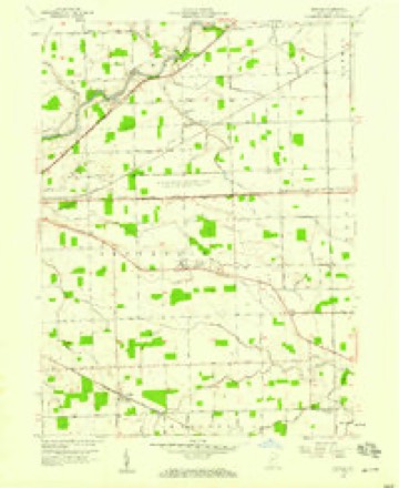
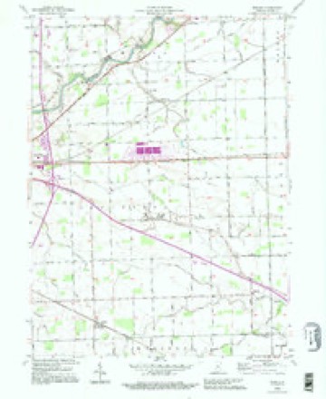
11 topographic sheets cover this place, the earliest surveyed in 1953 and the latest in 1992. It stands in Jefferson Township. It lies in ZIP code area 46816. The Survey maps it on the Maples quadrangle. It stands 801 feet above sea level.
Topographic sheets covering this place
5 surveys from 11 printed sheetsMatched by testing this settlement's coordinate against the published boundary of every sheet in the United States Geological Survey's historical collection. Each opens the scanned sheet at the Survey.
- 1953 USGS Fort Wayne quadrangle1:250000, 4 printings
- 1956 USGS Fort Wayne quadrangle1:250000, 2 printings
- 1957 USGS Maples quadrangle1:24000, 3 printings
- 1986 USGS Defiance quadrangle1:100000
- 1992 USGS Maples quadrangle1:24000


In the county-history sources
3,124 words on this townshipHistory of Allen County, Indiana., published 1880; Valley of the Upper Maumee River, with Historical Account of Allen County and the City of Fort Wayne, Indiana, published 1889 names this settlement in its chapter on Jefferson Township. These are the passages that mention it, exactly as the scans read.
Jared Whitney, Reuben Powers, Aretas Powers, Henry Castieman, Joseph Gronauer, William Harper and Alanson Whitney presented a petitiou to the Commissioners of Allen County, in January, 1840, praying for the organization of the township. In response to this petition, it was ordered by the Board "that Congressional Township 30 north, of Range 14 east, constitute a separate town¬ ship, to be known and called by the name of Jefferson Township.
Passage source: History of Allen County, Indiana., published 1880.
Flat Rock Lodge , No. JJJ, 1. 0. 0. I1., was instituted March 5, 1874, by P. G. M. Platt J. Wise, assisted by L. M. Rogers, of New Haven, and several members of the Lodges of Fort Wayne. The petition for dispensation was made February 4. 1874. and signed by Melancthon Cary, John C. Wilson, James E. Whitney, Eli Todd, J. R. Parker, Fred L. Gable, Fred Fry, H. D. Stoneman and A. C. Crawford.
Passage source: History of Allen County, Indiana., published 1880.
The quiet little village of Maples had its origin in the lumbering business. Here Lewis S. Maples came in 1852 from western Ohio, to take charge of an engine for a saw-mill. August 12, 1853, the town plat was made by O. Bird and J. Bowser, and Mr. Maples made an addition in 1873. Saw-milling, stave manufacture, and the hke have been the leading industries. In 1880 the population was 139. Stores
Passage source: Valley of the Upper Maumee River, with Historical Account of Allen County and the City of Fort Wayne, Indiana, published 1889.
Machine-read from a century-old scan, so expect the errors a machine makes: misspelled names, dropped words, stray characters.
Read the whole chapter on Jefferson Township - it names this place 1 more 1 time.
Fires near this place
1 since 2006Regional context, not property-specific evidence. The federal wildfire occurrence database lists 1 fire within 5 miles of Maples in 2006, burning about 50 acres in total. None started naturally. None was recorded as arson. Distance is straight-line from the map coordinates, so a fire counted here may appear on a neighbouring settlement's page as well.
| Reported cause | Fires |
|---|---|
| Missing data/not specified/undetermined | 1 |
The most recent of them, most recent first, with the day each was reported and the service that recorded it.
| Date | Cause | Size | Reported by | Name on the report |
|---|---|---|---|---|
| 10 April 2006 | Missing data/not specified/undetermined | 50 acres | Indiana State Fire Marshal's Office | not named |
Settlements close enough to share some of these fires:
Storms near this place
1 since 2016Regional context, not property-specific evidence. The National Weather Service names Maples in 1 storm report in 2016: 1 hail. No death or injury is recorded in these reports. Each account below is quoted exactly as the forecast office filed it, from the NOAA Storm Events Database, and each date opens the federal record of that event.
| When | Event | Place named | Harm | What the report says |
|---|---|---|---|---|
| March 2016 | Hail | Maples | - | no account filed |
Nearest settlements
The eight closest, with where each one stands in the county. Distances are straight-line, computed from the Geographic Names Information System coordinates.
| Map | Place | Distance | Sheets |
|---|---|---|---|
| Tillman | 4.1 miles | 11 | |
| Zulu | 4.4 miles | 11 | |
| Tanglewood | 4.6 miles | 13 | |
| Hoagland | 4.6 miles | 12 | |
| New Haven | 4.7 miles | 13 | |
| Meadowbrook | 5.0 miles | 13 | |
| Townley | 5.6 miles | 11 | |
| Boston Corner | 5.8 miles | 12 |
Elsewhere
Matched on this settlement's Geographic Names Information System number rather than its name, so it cannot be a different place of the same name in another state.
| Wikipedia article on Maples | An encyclopaedic summary. Its text is share-alike, so it is linked here rather than copied. |
| Wikidata item Q6754041 | The structured record the population and elevation above come from. Public domain (CC0). |
Provenance
This settlement is recorded in the Geographic Names Information System as feature 438581. The sheet list is computed by point-in-boundary test against the United States Geological Survey's historical topographic inventory. Both are works of the United States government and carry no copyright under 17 U.S.C. 105.
Wildfire. Short, Karen C. 2022. Spatial wildfire occurrence data for the United States, 1992-2020 [FPA_FOD_20221014]. 6th Edition. Fort Collins, CO: Forest Service Research Data Archive. https://doi.org/10.2737/RDS-2013-0009.6 Collected with United States Government funding and usable without additional permissions or fees.
Storms. NOAA National Centers for Environmental Information, Storm Events Database https://www.ncei.noaa.gov/stormevents/ A work of the United States government, no copyright under 17 U.S.C. 105. Narratives are quoted verbatim from the National Weather Service report and are not edited or summarised.