 Block
Mayfield, Indiana
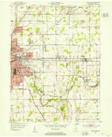
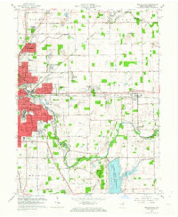
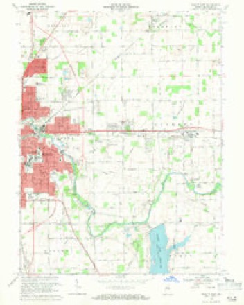
15 topographic sheets cover this place, the earliest surveyed in 1952 and the latest in 1986. It stands in Center Township. It lies in ZIP code area 47303. It stands on Truitt Ditch. The Survey maps it on the Muncie East quadrangle.
Topographic sheets covering this place
6 surveys from 15 printed sheetsMatched by testing this settlement's coordinate against the published boundary of every sheet in the United States Geological Survey's historical collection. Each opens the scanned sheet at the Survey.
- 1952 USGS Muncie East quadrangle1:24000, 2 printings
- 1953 USGS Muncie quadrangle1:250000, 5 printings
- 1956 USGS Muncie quadrangle1:250000
- 1962 USGS Muncie East quadrangle1:24000
- 1969 USGS Muncie East quadrangle1:24000, 3 printings
- 1986 USGS Muncie quadrangle1:100000, 3 printings



Mines and quarries near this place
9 within 5 milesRegional context, not property-specific evidence. The federal mineral resources record lists 9 workings within 5 miles of Mayfield: 5 producers, 2 past producers, 2 unknowns. 5 still produce. What was taken out: Sand and Gravel, Construction, Stone, Crushed/Broken, Stone. Distance is straight-line from the map coordinates, so a quarry counted here may appear on a neighbouring settlement's page as well.
| Where | Site | Commodity | Status | Recorded |
|---|---|---|---|---|
| Delaware County Highway Dept. | Stone | Producer | ||
| Muncie Quarry | Stone, Crushed/Broken | Past Producer | ||
| Irving Bros. Stone & Gravel Pit | Sand and Gravel, Construction | Producer | ||
| J and K Gravel Pit | Sand and Gravel, Construction | Past Producer | ||
| Muncie Pit and Mill | Sand and Gravel, Construction | Producer | ||
| Royertown Pit | Sand and Gravel, Construction | Unknown | ||
| Shick Sand & Gravel Pit | Sand and Gravel, Construction | Producer | ||
| Shirey Road Gravel Pit | Sand and Gravel, Construction | Producer | ||
| Tuck Pit | Sand and Gravel, Construction | Unknown |
Storms near this place
17 since 2008Regional context, not property-specific evidence. The National Weather Service names Mayfield in 17 storm reports between 2008 and 2025: 5 thunderstorm wind, 4 flood, 4 hail, 2 flash flood. No death or injury is recorded in these reports. Each account below is quoted exactly as the forecast office filed it, from the NOAA Storm Events Database, and each date opens the federal record of that event.
| When | Event | Place named | Harm | What the report says |
|---|---|---|---|---|
| June 2011 | Lightning | Mayfield | $150,000 | A Muncie church fire that left a firefighter dead on June 15 was caused by a lightning strike. Muncie Fire Department officials announced the cause of the fire on Tuesday. Officials say a lightning strike at 10:45 a.m. that morning sparked the fire. Firefighter Scott Davis, 40, died fighting the blaze. Two other firefighters were injured fighting the fire at Tabernacle of Praise. |
| August 2010 | Lightning | Mayfield | $120,000 | A split-level home was reportedly struck by lightning on East Gilbert Street in Muncie. Lightning struck near the bedroom window and the house started smoking. According to the Muncie fire department, the house was pretty well destroyed. |
| August 2016 | Flash Flood | Mayfield | $60,000 | Muncie Fire Department blocked roads east of Madison Street and south of Memorial Drive through 18th Street due to flash flooding from heavy thunderstorm rainfall. Water rescues were occurring on the south side of Muncie. No reports of any injuries. |
| July 2012 | Thunderstorm Wind | Mayfield | $15,000 | Roof damage occurred to the AMA Aeronautical Museum at 12th Street and State Route 67 due to damaging thunderstorm wind gusts. |
| July 2012 | Thunderstorm Wind | Mayfield | $15,000 | Roof damage occurred to the AMA Aeronautical Museum at 12th Street and State Route 67 due to damaging thunderstorm wind gusts. |
| May 2025 | Thunderstorm Wind | Mayfield | $3,000 | Multiple trees downed by thunderstorm wind gusts. |
| May 2017 | Flood | Mayfield | $3,000 | The Madison Street underpass in Muncie was closed for high water from thunderstorm heavy rainfall. Rainfall was measured at 1.50 inches. |
| June 2013 | Flood | Mayfield | $1,000 | Two feet of water was reported under the Madison Street Overpass due to thunderstorm heavy rainfall. Other street flooding was noted around the area. |
| July 2008 | Flash Flood | Mayfield | $1,000 | Heavy thunderstorm rains produced flooding in the southeast section of Muncie. |
| July 2012 | Thunderstorm Wind | Mayfield | $500 | A 66 mph thunderstorm wind gust was measured near the intersection of Memorial Drive and Biltmore Street. Tree limbs were also downed nearby at Sutton Elementary School. |
| August 2011 | Flood | Mayfield | $500 | A large stretch of 29th Street was flooded between approximately Madison and Memorial Streets. Rainfall between 9:15 and 10:00 PM EDT measured 0.98 inches. |
| August 2011 | Thunderstorm Wind | Mayfield | $100 | An estimated 65 mph thunderstorm wind gust was observed in this location. Some small branches were downed and power flashes were seen in the distance. |
| January 2009 | Flood | Mayfield | - | Rainfall and warm temperatures that occurred on and off during the second half of December and above normal temperatures through January 4th led to slightly greater than bank full conditions on the White River, affecting Delaware County at and near Muncie. This event was very short lived. |
| April 2012 | Hail | Mayfield | - | no account filed |
| March 2012 | Hail | Mayfield | - | no account filed |
| March 2012 | Hail | Mayfield | - | no account filed |
| June 2011 | Hail | Mayfield | - | no account filed |
Nearest settlements
The eight closest, with where each one stands in the county. Distances are straight-line, computed from the Geographic Names Information System coordinates.
| Map | Place | Distance | Sheets |
|---|---|---|---|
| Liberty Corners | 1.1 miles | 15 | |
| Aultshire | 1.2 miles | 15 | |
| Irvington | 1.3 miles | 15 | |
| Creston | 1.7 miles | 15 | |
| Muncie | 1.9 miles | 17 | |
| Morningside | 2.2 miles | 15 | |
| Hyde Park | 2.2 miles | 15 | |
| Woodland Park | 2.2 miles | 15 |
Provenance
This settlement is recorded in the Geographic Names Information System as feature 438760. The sheet list is computed by point-in-boundary test against the United States Geological Survey's historical topographic inventory. Both are works of the United States government and carry no copyright under 17 U.S.C. 105.
Mines and quarries. USGS Mineral Resources Data System (MRDS) https://mrdata.usgs.gov/mrds/ A work of the United States government, no copyright under 17 U.S.C. 105.
Storms. NOAA National Centers for Environmental Information, Storm Events Database https://www.ncei.noaa.gov/stormevents/ A work of the United States government, no copyright under 17 U.S.C. 105. Narratives are quoted verbatim from the National Weather Service report and are not edited or summarised.